Warm Springs Falls: A Short Forest Walk to a Beautiful Basalt-Framed Waterfall
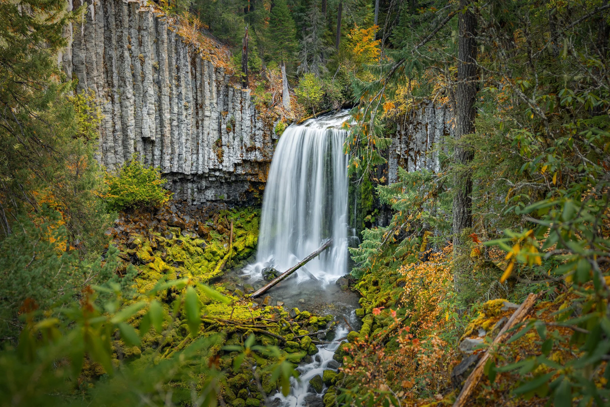
Warm Springs Falls is one of the lesser-known waterfalls in Oregon’s Umpqua National Forest, about 35 miles north of Crater Lake and roughly 80 miles from Roseburg. A gentle walk of about 0.3 miles leads to a viewing platform overlooking a smooth curtain of water dropping about 60 feet between striking basalt columns.
I really loved this waterfall when I first saw it. The trail is short and easy, but the view feels much bigger than you’d expect from such a quick forest walk. If you’re exploring this part of Southern Oregon and want an easy waterfall stop, I think Warm Springs Falls is definitely worth a visit.
Video Walkthrough Guide
Click the play button above to watch my Warm Springs Falls video guide.
Quick Facts
- Difficulty: Easy
- Hike Length: 0.6 Miles*
- Elevation Gain: 59 ft.*
- Hike Type: Out and Back
- Pass Required: None***
- When to Visit: Spring–Fall**
- Pets: Dogs on Leash
- Kids: Yes
- Facilities: None
*Distance and elevation are approximate. It’s about 0.3 miles each way to the viewing platform. The trail felt very flat and easy during my visit.
**Snow can affect the roads and trail, so check conditions before heading out. I visited in fall and really enjoyed the autumn color around the canyon.
***No pass or fee was required during my visit. Check posted signs for any changes.
How long is the hike to Warm Springs Falls? It’s about 0.3 miles from the trailhead to the viewing platform, or 0.6 miles out and back. It’s a short walk, but I’d give yourself a little extra time to enjoy the forest and the view once you get there.
Is Warm Springs Falls wheelchair accessible? Based on my visit, I’d consider the trail wheelchair accessible, possibly with a little assistance in spots. It’s very flat and easy, and it leads to a well-built viewing platform. That’s my firsthand impression rather than a guarantee of access. Trail conditions and individual needs can vary.
Is it easy to find the Warm Springs Falls trailhead? The final part of the drive can be a little confusing. Google Maps tried to send me down a road that didn’t appear to exist or was inaccessible. Using AllTrails’ “Get Directions” option with Apple Maps worked better for me. Follow Lemolo Plant Road rather than a questionable last-minute turn, and download your maps before leaving.
Can you hike to the base of Warm Springs Falls? There isn’t a safe, official trail to the base. The viewing platform is the main place to see the falls, and the surrounding area has sheer drop-offs. I wouldn’t plan on getting down into the basin.
When is a good time to visit Warm Springs Falls? Spring through fall is a good window when the roads are accessible. The rhododendron along the trail would be beautiful in bloom, and I really liked the yellows and reds around the falls during my autumn visit. Snow and road conditions are worth checking, especially early or late in the season.
Getting to Warm Springs Falls
Warm Springs Falls is tucked away near Lemolo Lake in Oregon’s Umpqua National Forest. Getting to the trailhead was actually the trickiest part of my visit, so this is one place where I wouldn’t just follow a navigation app without paying attention to the roads in front of you.
As I got closer, Google Maps tried to route me down a road that either didn’t appear to exist or was completely inaccessible. The trailhead also didn’t come up reliably when I searched directly in Apple Maps.
What worked better was finding Warm Springs Falls Trail on AllTrails, selecting “Get Directions,” and opening that route in Apple Maps. If you’re using Google Maps, follow Lemolo Plant Road rather than taking a confusing last-minute turn down an inaccessible road. That’s what led me to the proper trailhead.
I’d download your maps and have the route ready before heading into the forest. The map below is useful for locating the trailhead, but it doesn’t guarantee that your navigation app will choose the right approach. Check current road conditions too, especially if you’re visiting close to winter.
Trailhead and Parking
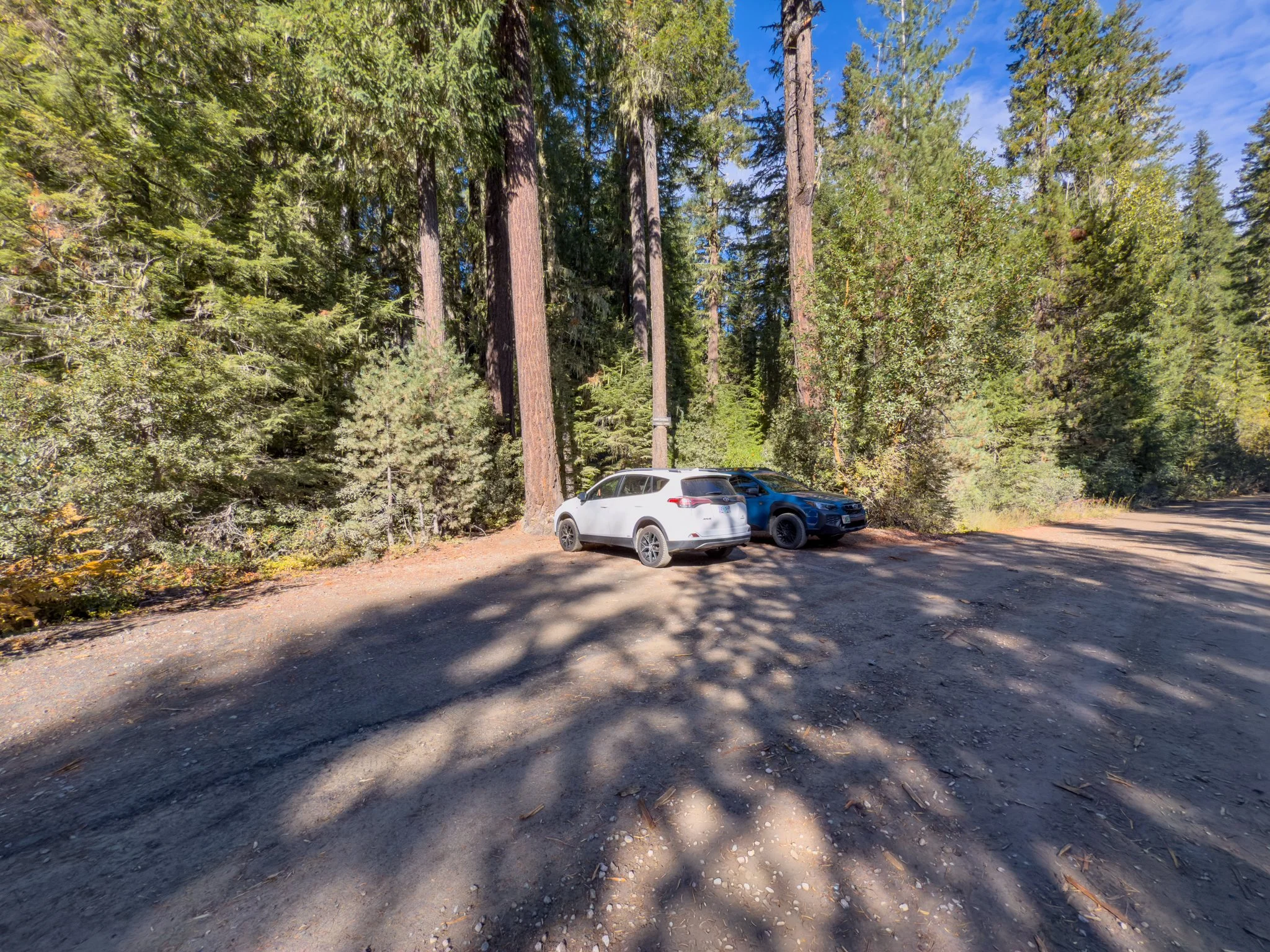
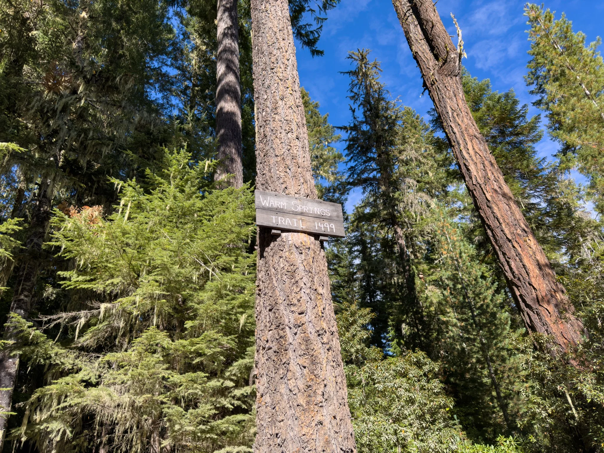
Once you arrive, there’s a small parking area with room for about four or five vehicles and a clearly marked trailhead sign. There aren’t any bathrooms or other facilities here, so plan accordingly before arriving.
No parking pass or fee was required during my visit. It’s still worth taking a look at any posted signs when you arrive in case that changes.
Hiking to Warm Springs Falls
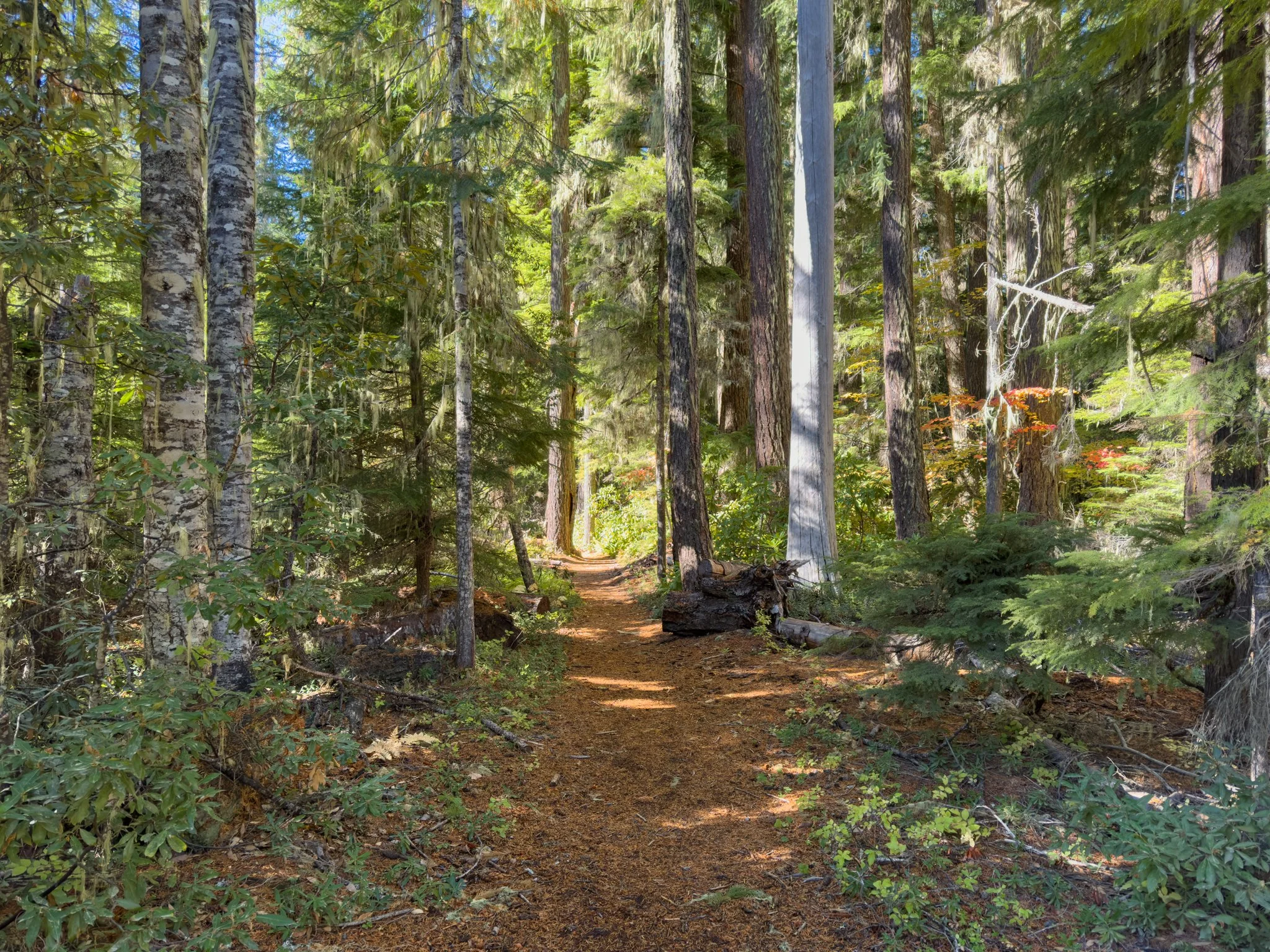
The trail itself is very flat and easy. Based on my visit, I’d even consider it wheelchair accessible, possibly with a little assistance in spots. I wouldn’t call that a guarantee for every visitor or every set of trail conditions, but it felt like a good option for someone looking for a gentle walk to a waterfall viewing platform.
I visited in fall, but the path is lined with rhododendron. I think it would be especially beautiful when those are blooming. Even without the flowers, it’s a really pleasant walk through the forest, with tall Douglas-fir and hemlock overhead and a lush understory along the path.
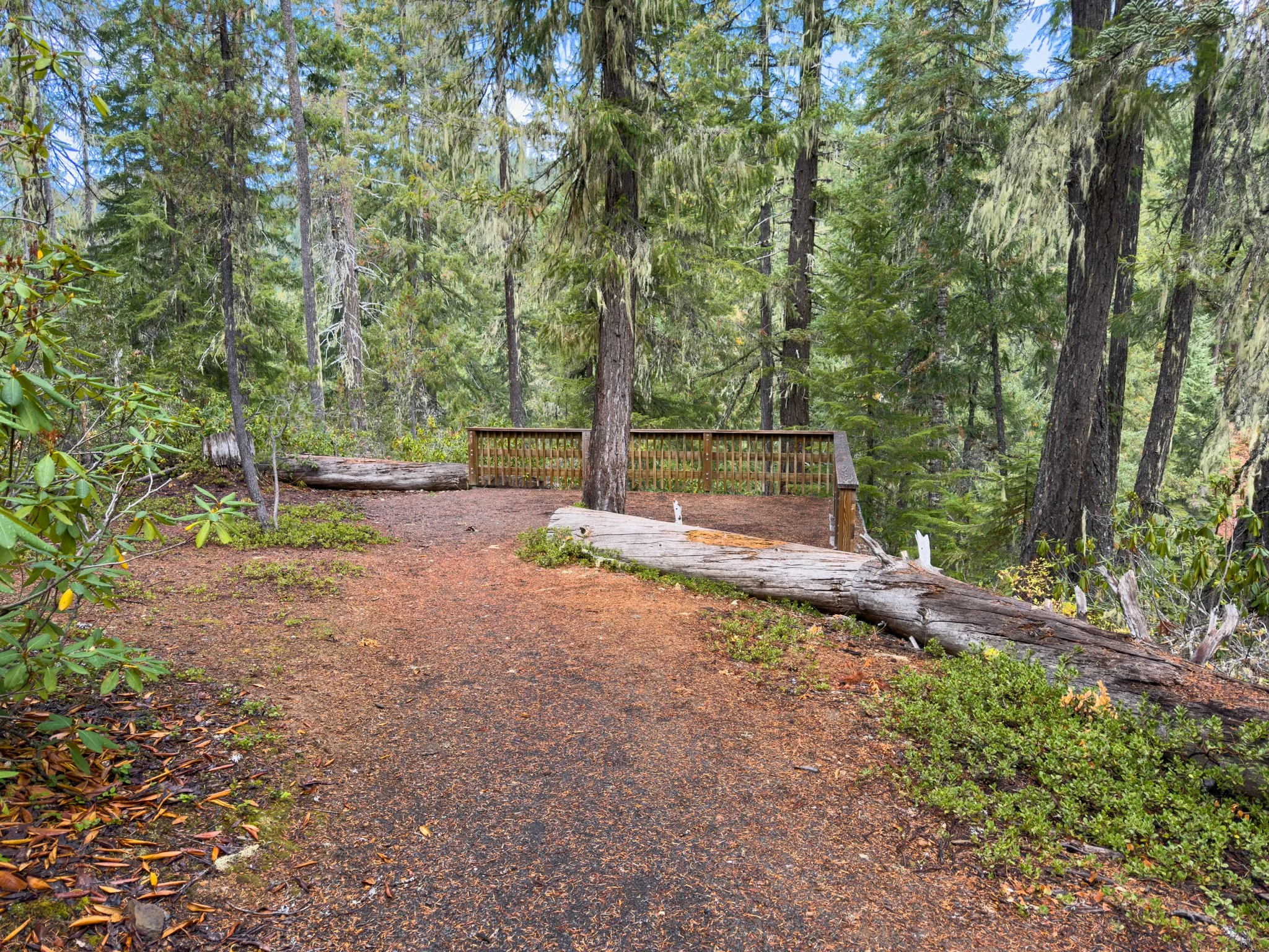
After about 0.3 miles, you’ll reach the viewing deck. That makes the full out-and-back walk about 0.6 miles. AllTrails lists about 59 feet of elevation gain, but the trail felt quite flat to me, with nothing like the steep climb you’ll find at some of the other waterfalls nearby.
Viewing Warm Springs Falls
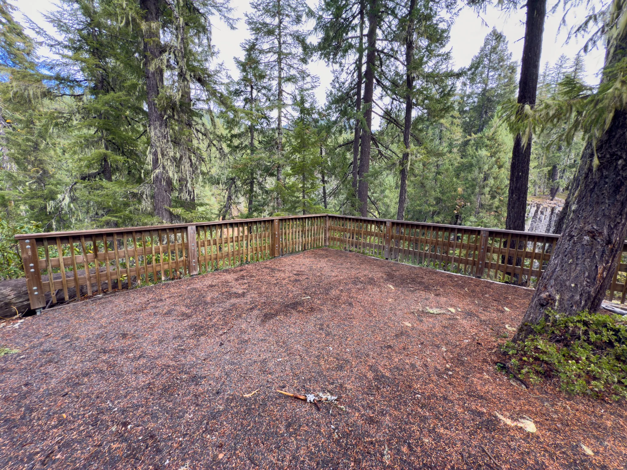
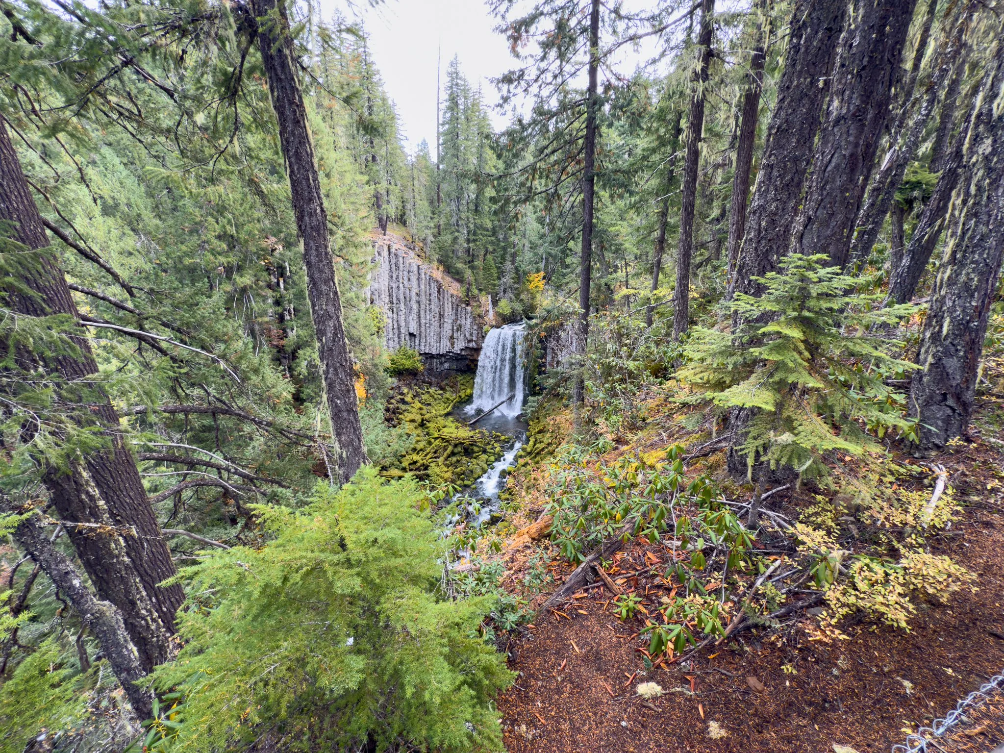
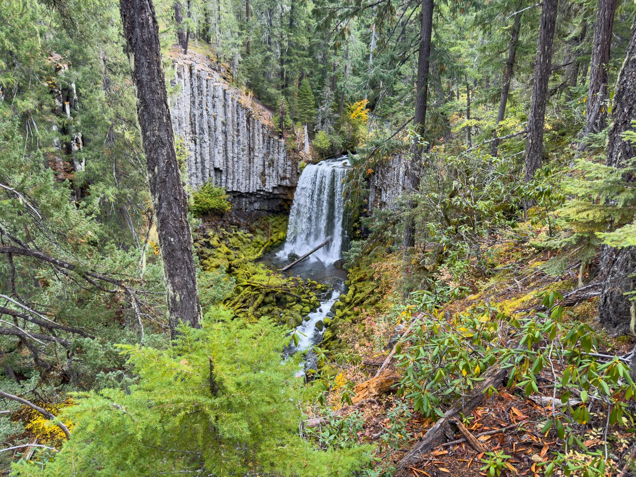
The viewing platform is surprisingly nice for a waterfall that doesn’t seem to get as much attention as some of the more famous stops in the area. From the deck, you get a clear view straight across the basin to the falls.
And honestly, I was pretty in awe when I first saw it. Photos and videos don’t fully capture how it feels standing there and watching that curtain of water pour over the ledge.
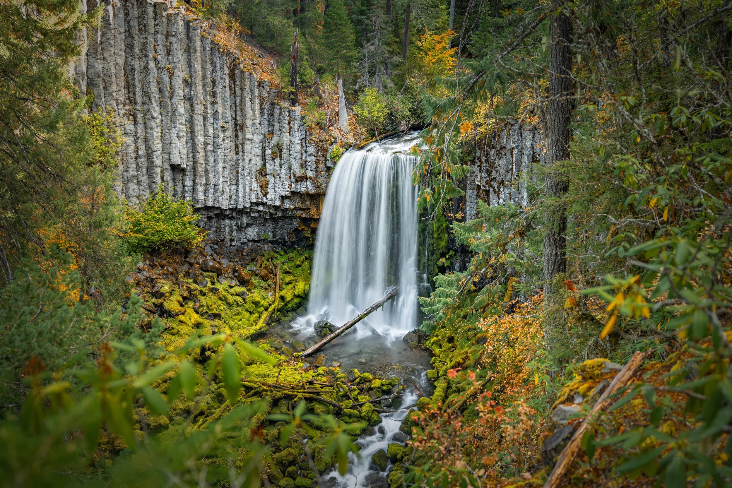
Warm Springs Falls drops about 60 feet into a mossy, amphitheater-like basin. The water flows smoothly over the edge, and the basalt columns on either side give the waterfall a really striking shape. I like how the rock almost frames the falls without taking away from the water itself.
During my autumn visit, the canyon had warm yellows and reds mixed into all the green. That color made an already beautiful view even better. It’s a spot where I’d definitely take a little time instead of just looking at the falls and heading straight back.
Looking for Different Photography Angles
One limitation here is that there really isn’t a safe or official way to get much closer to the waterfall. I noticed a few unofficial paths along the ridge on the right, near the top of the falls, but I didn’t see a practical way to reach the base. It isn’t something I’d attempt as part of a casual waterfall visit.
For photographers, the area around and below the viewing platform can offer slightly different angles. It’s one of those little details that’s worth knowing about, but the caution here matters. These areas are close to sheer cliffs, and a faint path doesn’t mean there’s a safe route.
The platform is the safest place to enjoy the view. If you look around outside it, stay well back from drop-offs and don’t descend toward the basin. Anything beyond the main viewing area should be treated as off-trail terrain, not an extension of the easy hike.
Final Thoughts
I really loved Warm Springs Falls. It’s a beautiful waterfall at the end of a short, easy forest trail, and I think it makes a great stop if you want something gentle or have room for one more waterfall while exploring the area.
If you’re looking for a longer hike and a waterfall you can get closer to, Lemolo Falls is just up the road and is well worth considering. You can also pair this visit with Clearwater Falls, Whitehorse Falls, or Watson Falls while exploring the Highway 138 corridor.
But I wouldn’t skip Warm Springs just because it’s a quick walk. The basalt columns, the smooth sheet of water, and the forest around the platform make this a waterfall I’m really glad I took the time to visit.
Happy exploring 🌿
Gallery