
Pearsony Falls | A Magical Waterfall in the Heart of Prospect, Oregon
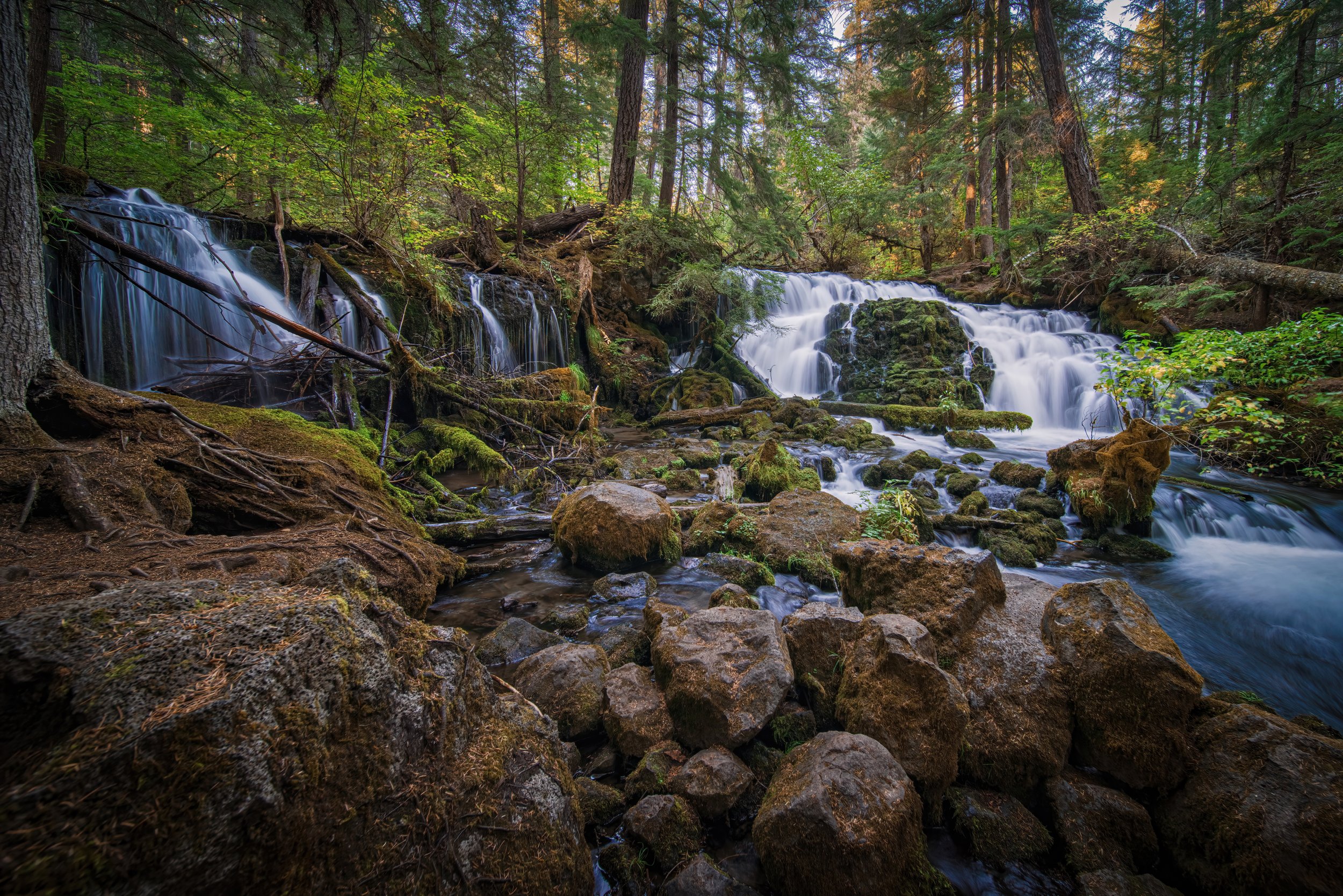
Pearsony Falls is right in Prospect, Oregon, but it doesn't take long for the trail to make you feel a little farther from town. Tall trees shade the path, Mill Creek runs through the forest, and a short walk brings you to a small waterfall spilling over moss-covered rocks and fallen logs.
For me, this is one of the most beautiful little waterfalls in Oregon. I like how much there is to notice around it, from the two different flows to the quieter stretches of creek nearby. If you have more time, you can keep walking to a viewpoint over Avenue of the Boulders, where the Rogue River winds between enormous house-sized boulders in the canyon below.
Video Walkthrough Guide
Click the Play Button above for the Video Guide, or continue down to read the Full Review.
Quick Facts
- Difficulty: Easy*
- Hike Length: About 1.2 miles*
- Elevation Gain: About 196 ft.*
- Hike Type: Out & back
- Pass Required: None**
- When to Visit: Year-round***
- Pets: Dogs on leash
- Kids: Yes, with supervision
- Facilities: Vault toilet, picnic tables**
*The Boulders viewpoint is about 0.6 mile from the trailhead, making the full outing 1.2 miles round trip. Pearsony Falls is about 0.2 mile in, so visiting just the falls is about 0.4 mile round trip. Elevation gain is approximate for the longer route. The main trail, optional log crossing, and exposed canyon overlook are different experiences.
**Check posted information when you arrive, since access arrangements and facilities can change. Bring your own drinking water.
***Year-round doesn't mean accessible in every condition. Snow, ice, storm damage, or wildfire closures can affect a visit. Check weather and access before heading out.
How long is the hike to Pearsony Falls? The falls are about 0.2 mile from the trailhead, or 0.4 mile round trip. From the falls, it's another 0.4 mile to the Avenue of the Boulders viewpoint. That puts the viewpoint 0.6 mile from the trailhead, making the complete out-and-back about 1.2 miles.
Is Pearsony Falls wheelchair accessible? Based on my visits, I think the section to the falls could work for some wheelchair users, but access isn't guaranteed. On one visit, there was a fallen tree across the trail that would have prevented a wheelchair from getting through. The path also has bark chips and dirt rather than pavement, so conditions can make a difference. Check for current obstructions and whether the surface suits your chair before visiting. This is my impression, not an official accessibility designation, and it doesn't include the optional log crossing.
How tall is Pearsony Falls? It's about 12 feet tall. The setting is what really stands out to me: the water divides around mossy rocks and fallen logs, with a gentler flow on one side and a fuller cascade on the other.
Can I bring kids and dogs? The short main walk makes this a practical family stop, and dogs should stay on a leash. Keep children close around the creek and especially at the Boulders overlook, where the ground drops steeply into the canyon. The log detour isn't a necessary part of the hike.
Can I see Avenue of the Boulders on the same walk? Yes, you can continue beyond Pearsony Falls to a viewpoint above the Rogue River canyon. This is an overlook, not the route down among the boulders covered in my Mill Creek Falls, Barr Creek Falls, and Avenue of the Boulders guide.
Getting to Pearsony Falls
The Pearsony Falls parking area is just off Mill Creek Drive in Prospect, Oregon. Use the trailhead map below so you arrive at the parking area for this walk, rather than the nearby trailhead for Mill Creek Falls and Barr Creek Falls.
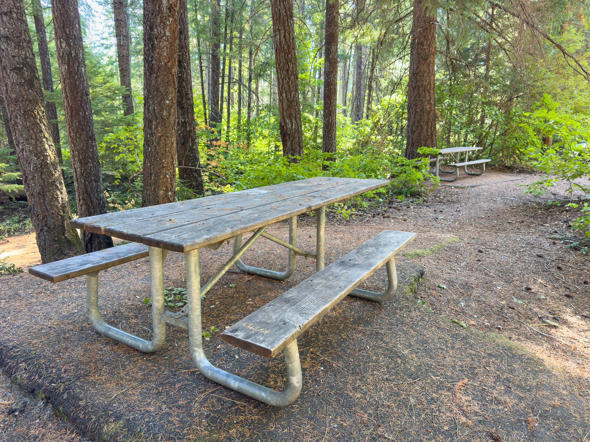
There's a spacious parking area with a vault toilet and picnic tables. I think it's a nice place to have a snack before setting out or take a break when you get back. Bring water with you, even if you're only planning a short visit.
You have a couple of options for how much walking to do. Pearsony Falls is about 0.2 mile from the trailhead, making it a 0.4-mile round trip if you turn around there. Continuing another 0.4 mile takes you to the Avenue of the Boulders viewpoint, for a total of 1.2 miles out and back. I'd leave a little time for the creek along the way too, rather than thinking of the overlook as the only reason to keep going.
Hiking to Pearsony Falls
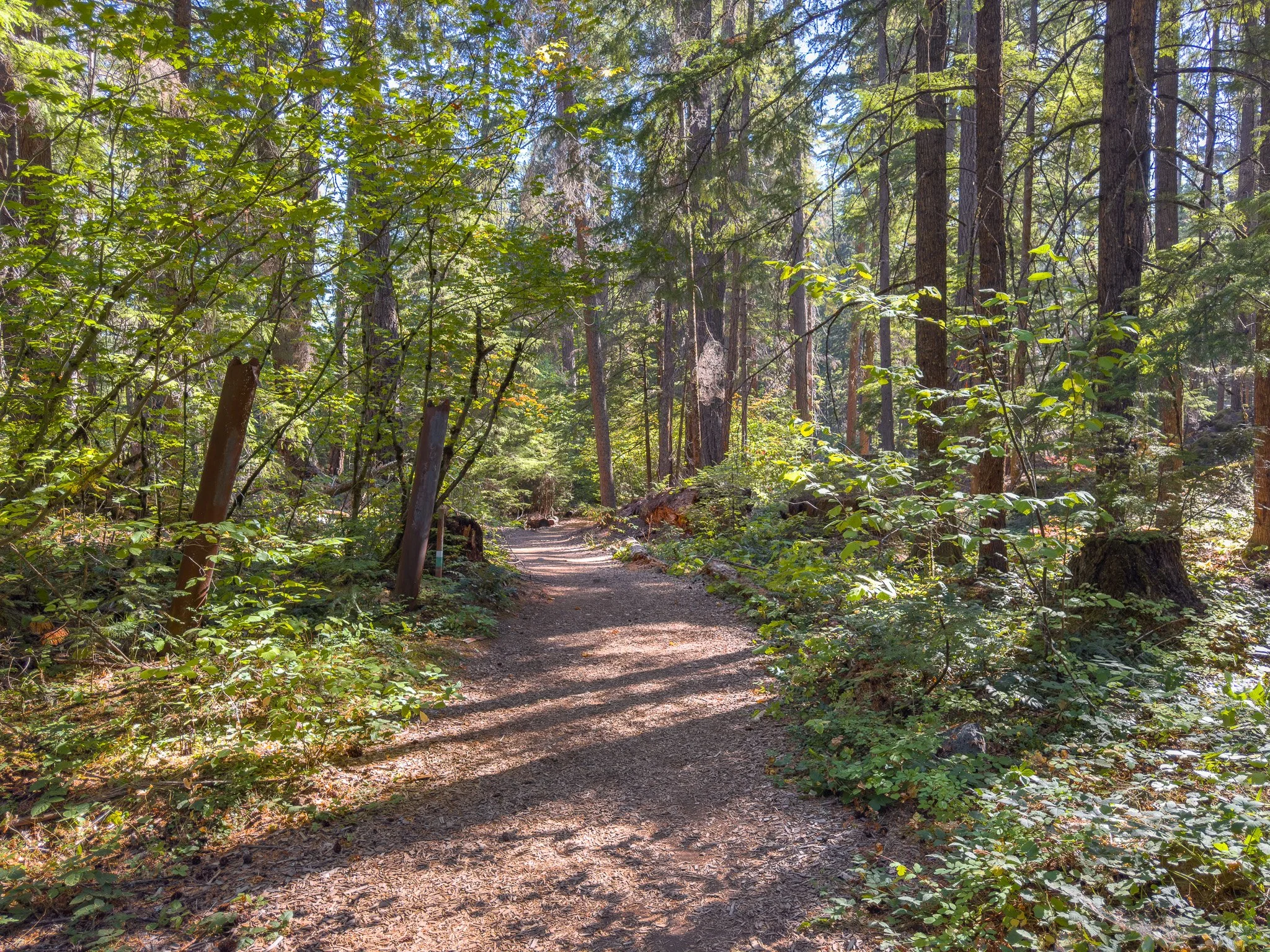
From the parking area, walk past the bathrooms and picnic tables, cross the small dirt road, and look for the sign marking the trail to the falls. The path begins as a wide, bark-chipped trail and transitions to dirt as it heads into the forest.
On my visits, this section has felt pretty easy and approachable. I think it could work for some wheelchair users, especially as far as the falls, but I wouldn't count on access being guaranteed. One time I visited, a fallen tree blocked the trail and would have prevented a wheelchair from getting through. The bark-chip and dirt surface can also change with wet weather or debris, so check current conditions before relying on it.
Douglas-fir trees and vine maples shade the walk, with a smaller fork of Mill Creek flowing beside the trail. Even though you're still close to town, the creek and trees quickly become the focus. Listen for the sound of the falls growing louder as you continue.
Arriving at Pearsony Falls
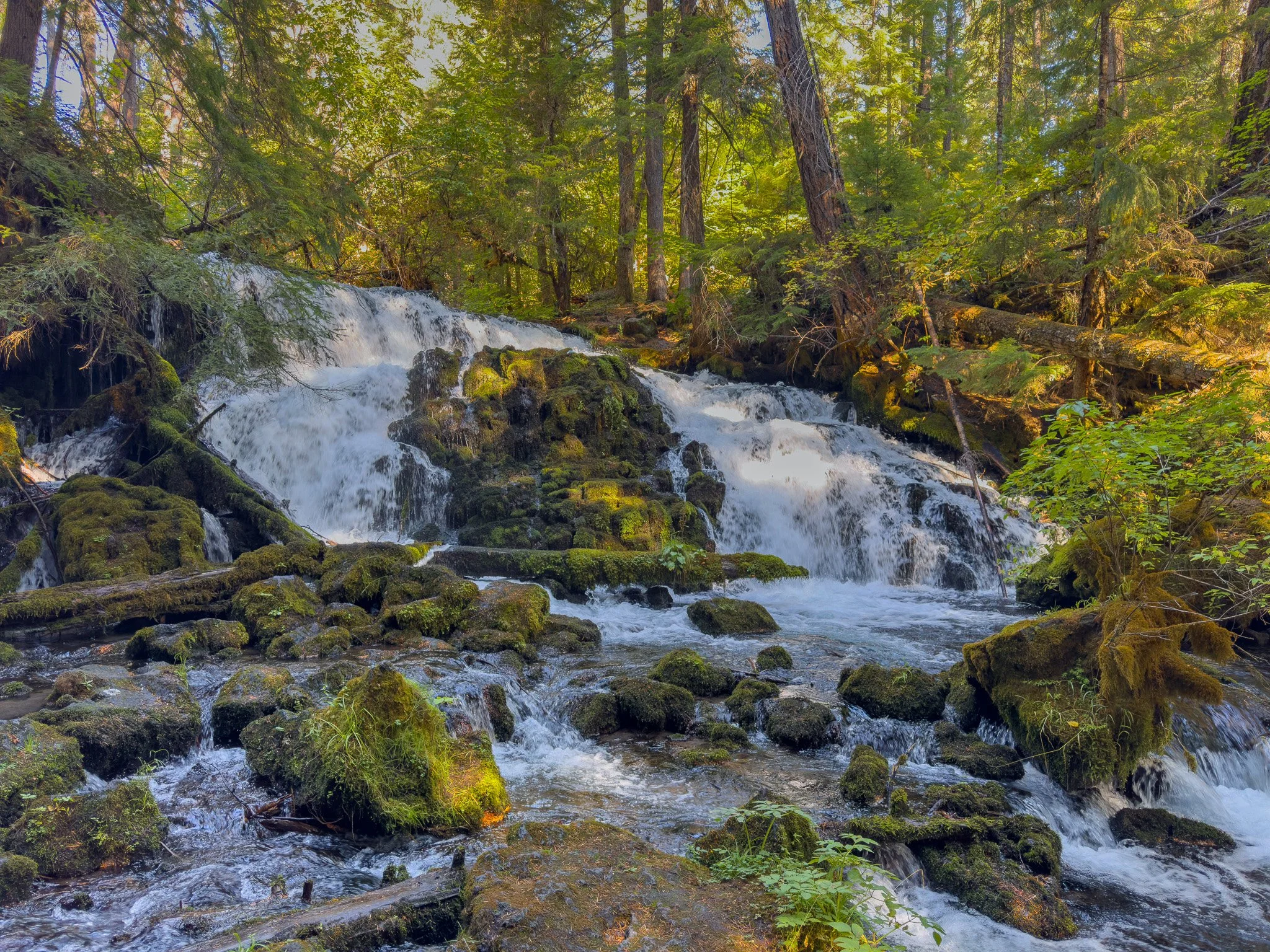
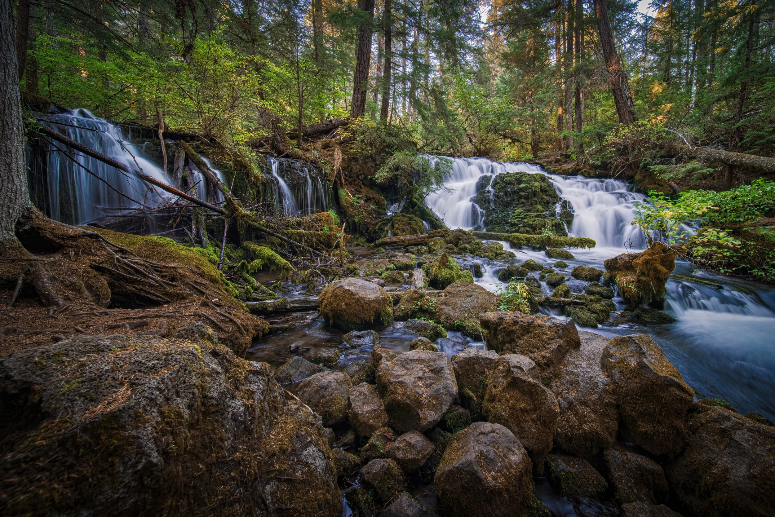
Pearsony Falls drops about 12 feet over moss-covered rocks, with the water separating into two noticeably different sections. On the left, a softer flow works its way around fallen logs and between branches. On the right, the water spills more strongly around the mossy rocks before reaching the creek below.
I really like that contrast. This isn't a tall waterfall that you look up at from a distance. There's a lot happening in a small space, and the fallen logs and surrounding forest are a big part of the scene.
The shaded creek-side setting feels especially nice on a warm day. Take a little time to look at how the water moves through the rocks and branches, rather than stopping for one quick photo and heading back. Different flows can stand out depending on where you look.
The Opposite-bank View and Fallen Log
There's another perspective of the falls that I think is worth mentioning. When I visited, a large fallen log farther along the creek provided a way across to the opposite bank. From that side, you get a different angle on the water flowing over the moss-covered rocks.
This is an optional detour, not a maintained bridge or a required part of the route. Fallen logs can shift or decay, and a wet log can be slippery. Don't assume it will be stable or even in the same position when you visit. Skip the crossing if the footing or conditions aren't suitable, and follow any posted restrictions. Exploring beyond the main trail is at your own risk.
You can enjoy Pearsony Falls without crossing the creek. If you do explore that other side, return to the main trail before continuing toward the Boulders viewpoint.
Continuing along Mill Creek
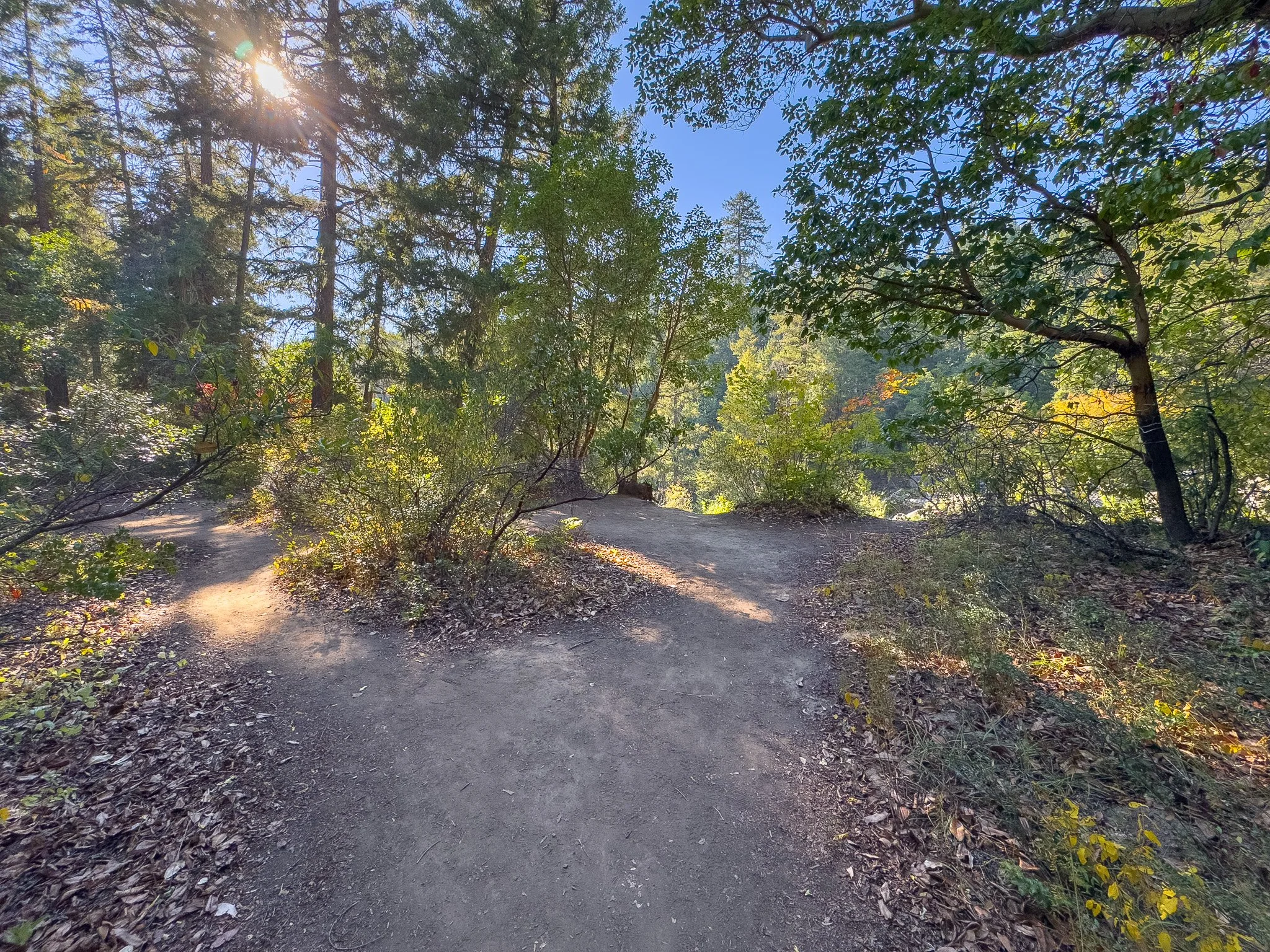
After returning from the waterfall area to the main trail, take the left turn to continue toward Avenue of the Boulders. The viewpoint is about another 0.4 mile beyond Pearsony Falls. Allow around ten minutes for the walk, with a little longer if you stop for photos.
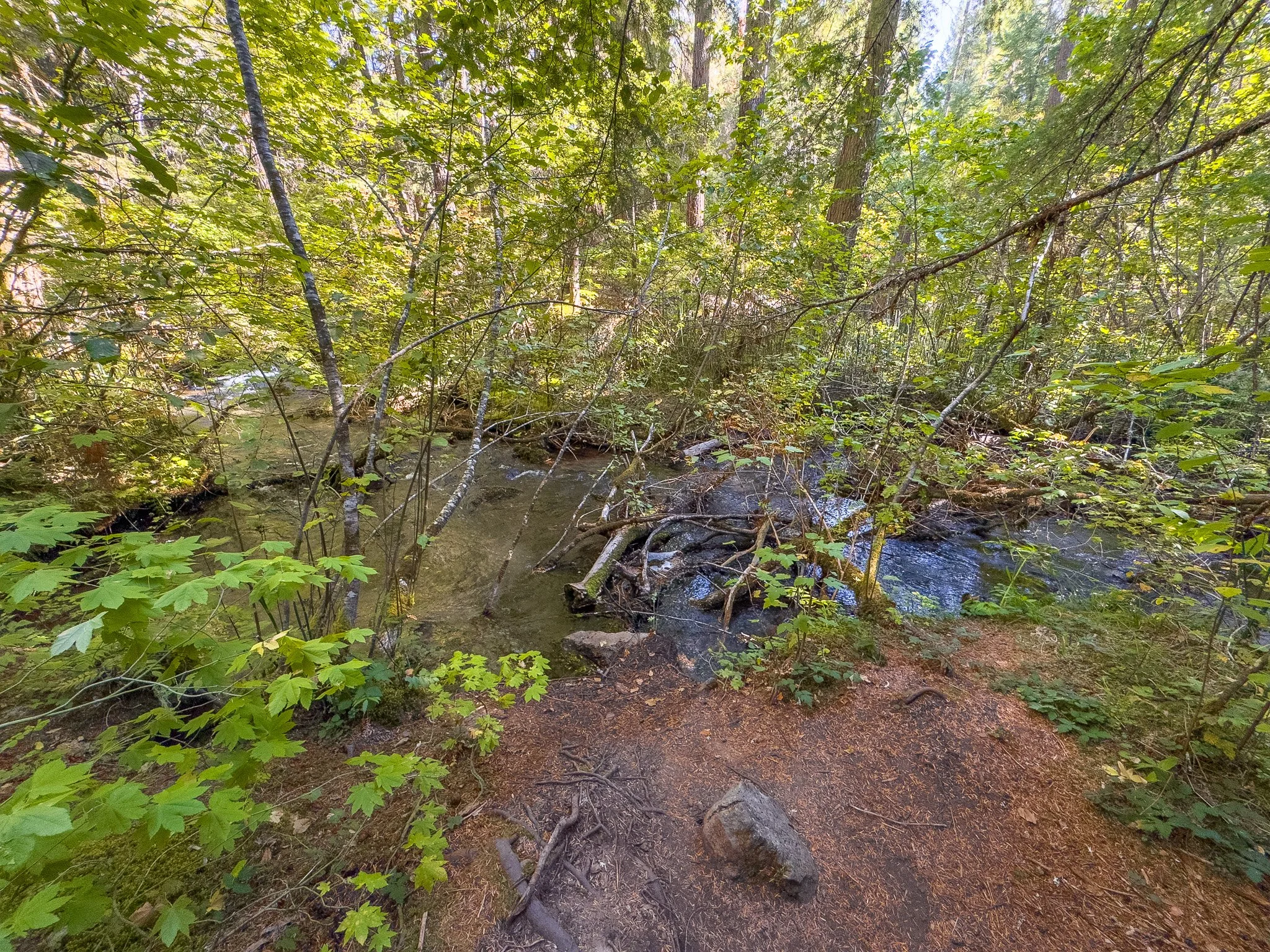
The trail winds through ferns, tall trees, and fallen logs. Along the way, watch for another quiet stretch of Mill Creek with a large fallen tree beside the water. The clear creek and mossy rocks make this a really nice place to pause.
This is one of those smaller stops I wouldn't want to leave out. The waterfall gets most of the attention, but the creek gives you a different view of the forest. There's no need to hurry past it just to reach the next viewpoint.
The Avenue of the Boulders Viewpoint
Near the end of the walk, the forest opens to a view over Avenue of the Boulders. This is one of my favorite perspectives of the area. From above, you can see the Rogue River making its way between the enormous boulders scattered through the canyon.
The boulders are remnants of Mount Mazama's eruption about 7,700 years ago, the same eruption that formed the basin now filled by Crater Lake. It's a pretty interesting connection to keep in mind while you're looking at the river and rocks below.
Use extra caution at the overlook. There's a steep drop into the canyon, so stay well back from the edge and keep children and dogs close. You don't need to stand at the drop-off to appreciate the view.
If you'd like to explore the boulders from closer to river level, my Mill Creek Falls, Barr Creek Falls, and Avenue of the Boulders guide covers that route. Don't try to make your own way down from this overlook. When you're ready to head back, retrace the trail to the Pearsony Falls parking area.
Final Thoughts
Pearsony Falls is a place I return to time and time again. I really like the combination of the small waterfall, shaded creek, and forest walk, especially with the Boulders viewpoint giving you a completely different scene at the end.
If you're short on time, the walk to the falls is worthwhile on its own. If you have a little longer, keep going and leave room for those quieter creek-side stops too. They're a big part of what makes this trail special to me.
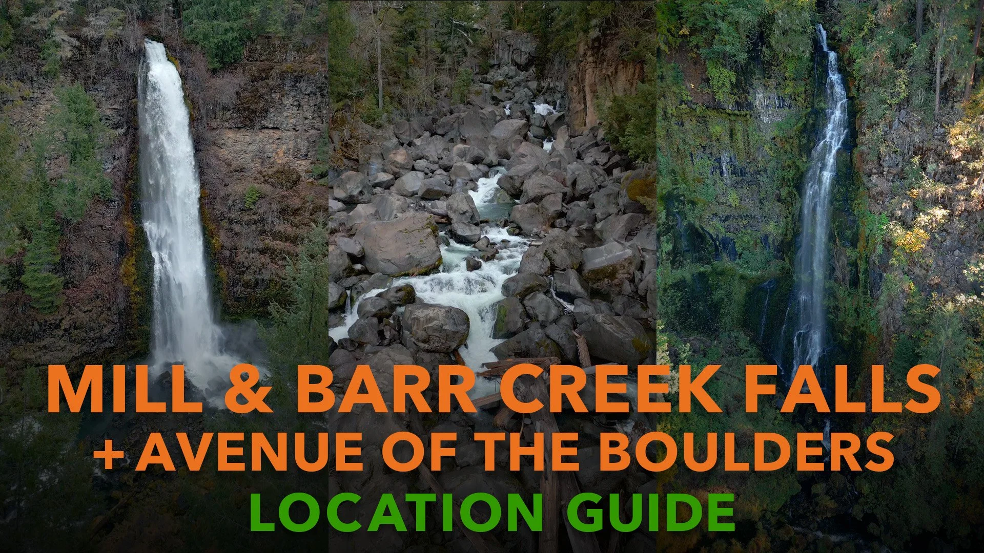
For more exploring nearby, take a look at my guides to Mill Creek Falls, Barr Creek Falls, and Avenue of the Boulders and the Rogue River Gorge.
Happy exploring 🌿
Can't visit anytime soon? My Pearsony Falls Cinematic Nature Escape lets you spend a little time with the waterfall and surrounding forest from home, with natural sounds and no narrated trail guide.
Gallery










Trailhead Location
Nearby Locations

Also See

Pearsony Falls: Relaxing Nature Escape
Nestled within Oregon’s Prospect State Scenic Viewpoint, Pearsony Falls is a hidden gem that feels worlds away from the nearby town. This 12-foot waterfall spills gently over moss-covered rocks and fallen logs, splitting into two distinct streams before flowing into the forest creek below. Surrounded by towering Douglas-fir, vine maples, and lush vegetation, it’s a tranquil oasis that captures the essence of the Pacific Northwest.