
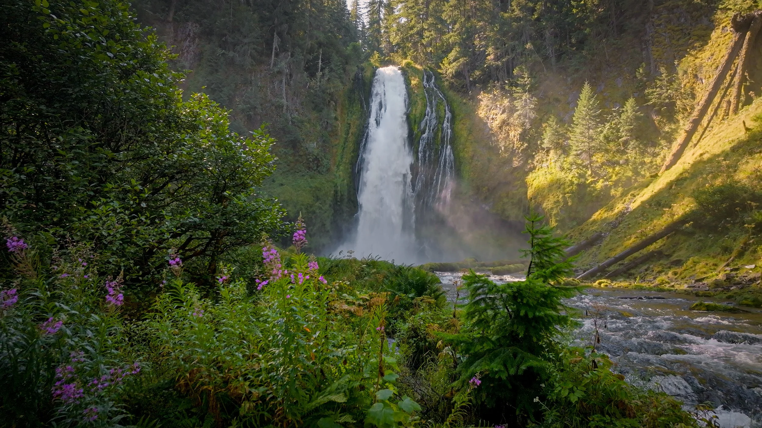
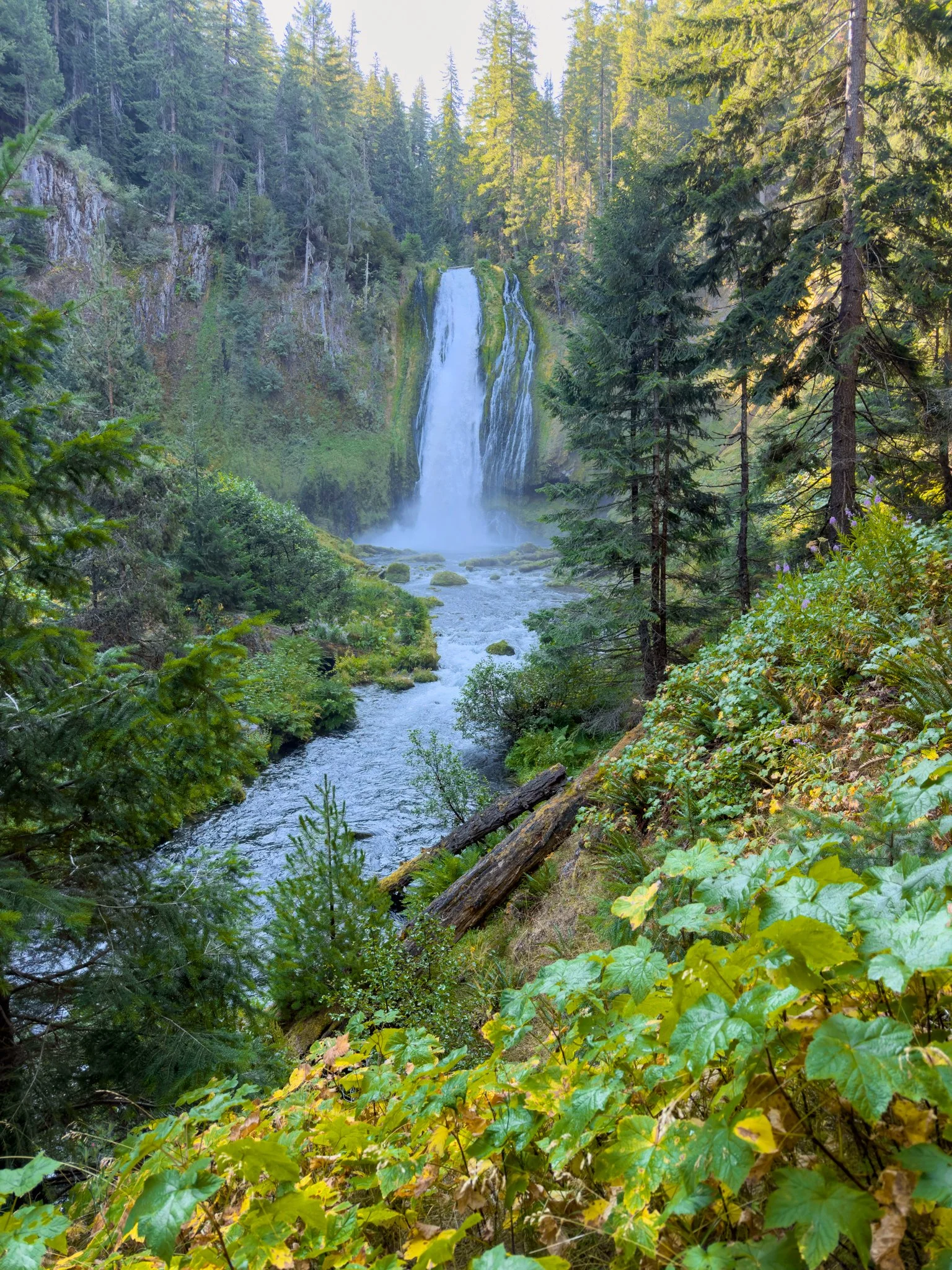
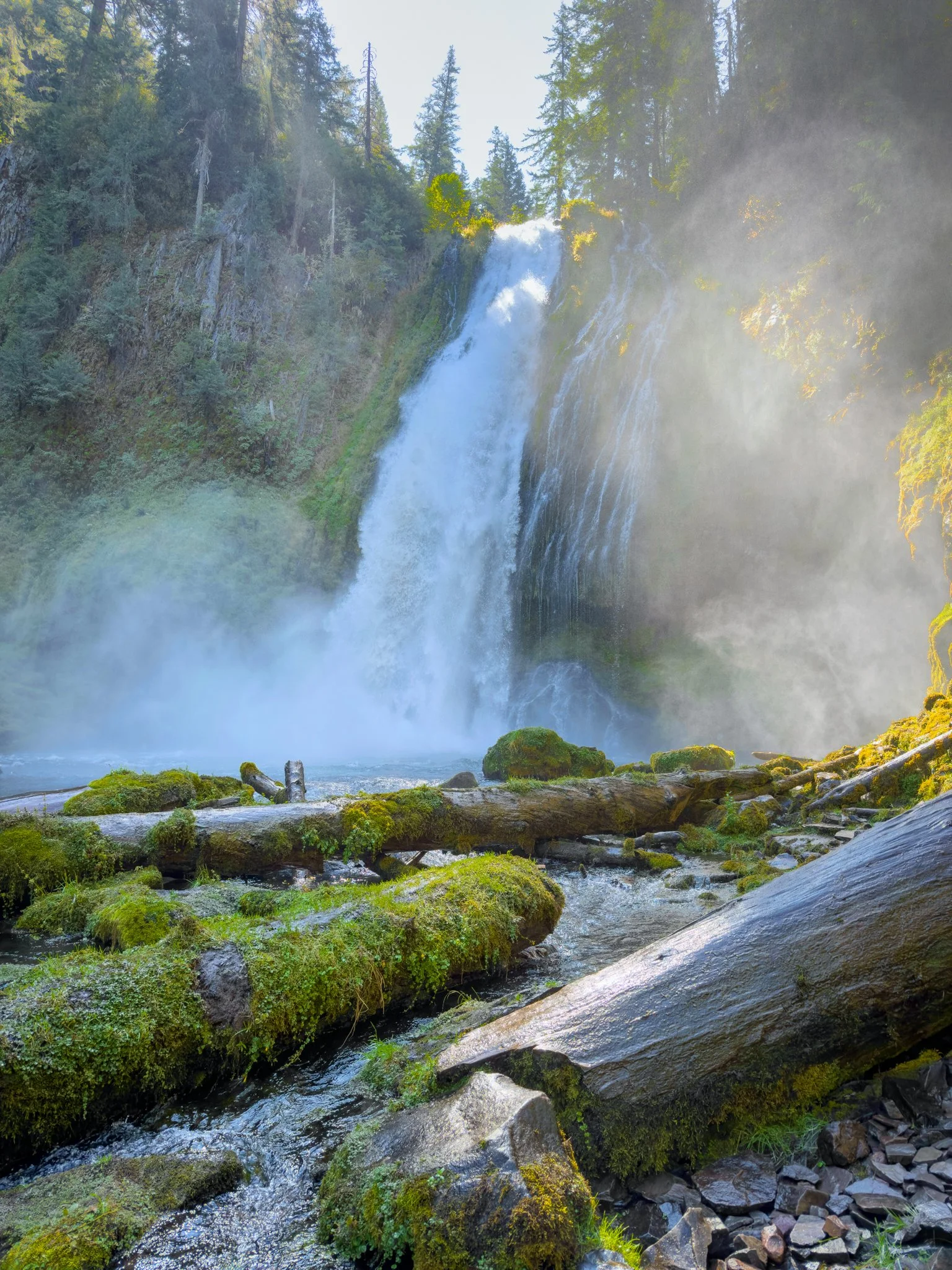
Lemolo Falls has become one of my favorite waterfalls in Oregon’s Umpqua National Forest. The North Umpqua River drops approximately 165 feet over a massive, moss-covered cliff into a forested canyon. Ferns line the trail, basalt cliffs rise across the river, and several viewpoints give you different ways to enjoy the falls.
There are two main approaches, but this guide follows the lower route, listed on AllTrails as Lower Lemolo Falls. It’s about 2.1 miles round trip, with roughly 570 feet of elevation gain. Most of the descent comes on the way in, so save some energy for the climb back out.
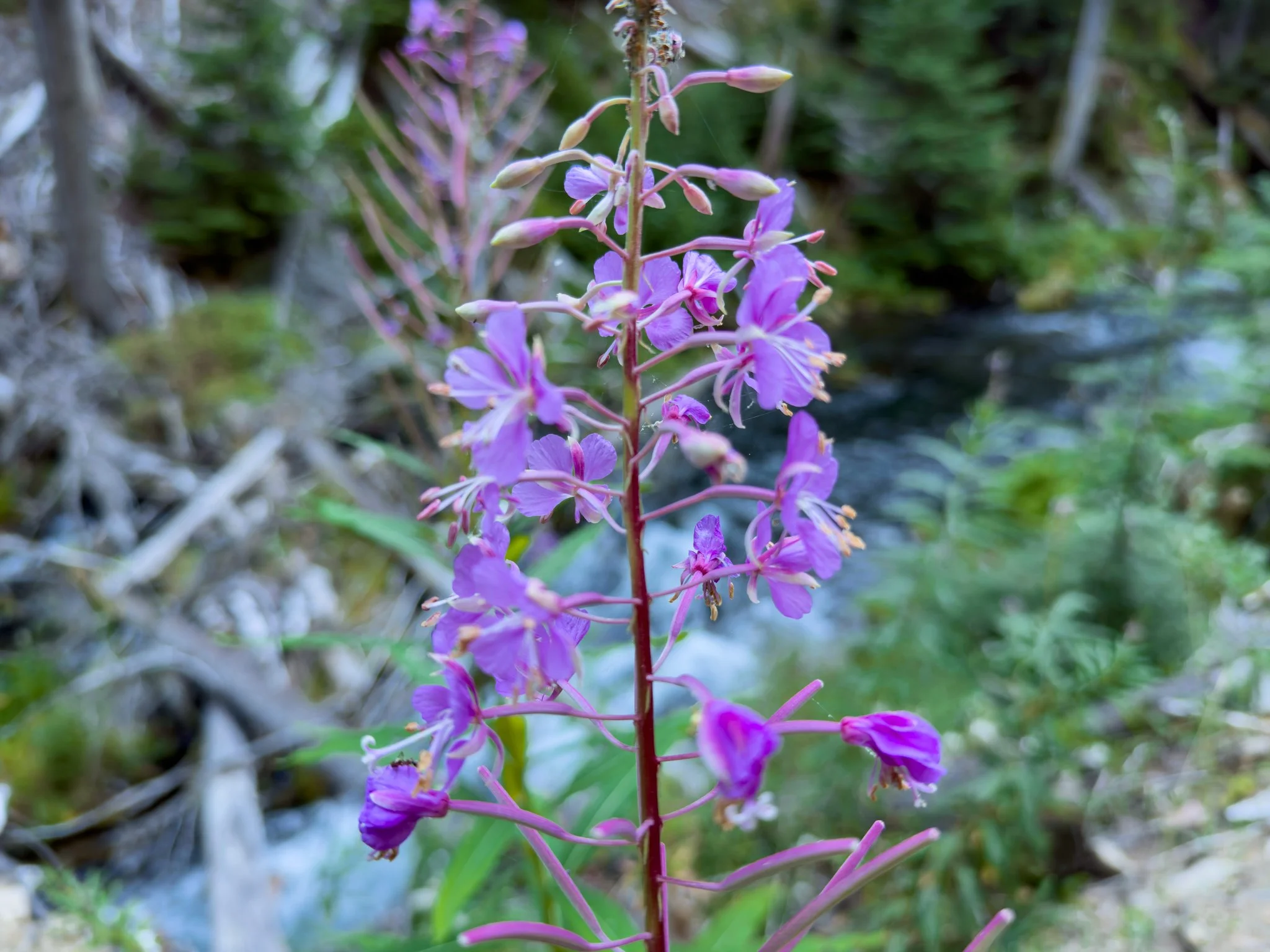
I’ve visited a few times, and my August visit was especially memorable. Fireweed was blooming beside the trail, hummingbirds were feeding among the flowers, and a light mist drifted through the basin.
Video Walkthrough Guide
Quick Facts
- Difficulty: Moderate
- Hike Length: Approx. 2.1 miles
- Elevation Gain: Approx. 570 ft.
- Hike Type: Out and back
- Pass Required: No*
- When to Visit: Spring–Fall*
- Pets: Dogs on a leash
- Kids: Yes**
- Facilities: None
*No pass was required during my visits. Check current requirements and road conditions before heading out. Snow or fires can affect access.
**The trail has steep embankments and uneven footing. Keep a close eye on children.
Which Lemolo Falls trail should I take? For the route described here, choose Lower Lemolo Falls on AllTrails and compare the trailhead with the Forest Service’s Lemolo Falls Trail #1468 directions. The other approach starts at White Mule Trailhead on the North Umpqua Trail and provides views from above and across the canyon.
How difficult is the hike? AllTrails rates the lower route moderate. The distance is fairly short, but rocky footing and the uphill return make it more demanding than a flat waterfall walk.
Do I have to scramble down to the river to see the waterfall? No. The first open viewpoint provides a beautiful view of the entire waterfall. Closer viewpoints are available along the continuing path, while the final steep descent to the river is optional.
Can I drive a regular car to the trailhead? The final road was rough during my visits. Higher clearance would be my preference. If your vehicle can’t comfortably handle the last section, look for a suitable place to stop without blocking access and allow for additional walking.
How tall is Lemolo Falls? Northwest Waterfall Survey lists it at 165 feet, which is the approximate height used here. Forest Service publications give a lower figure, so published measurements differ.
Getting There
Lemolo Falls is about two hours from Roseburg or an hour and a half from La Pine, depending on your starting point and road conditions.
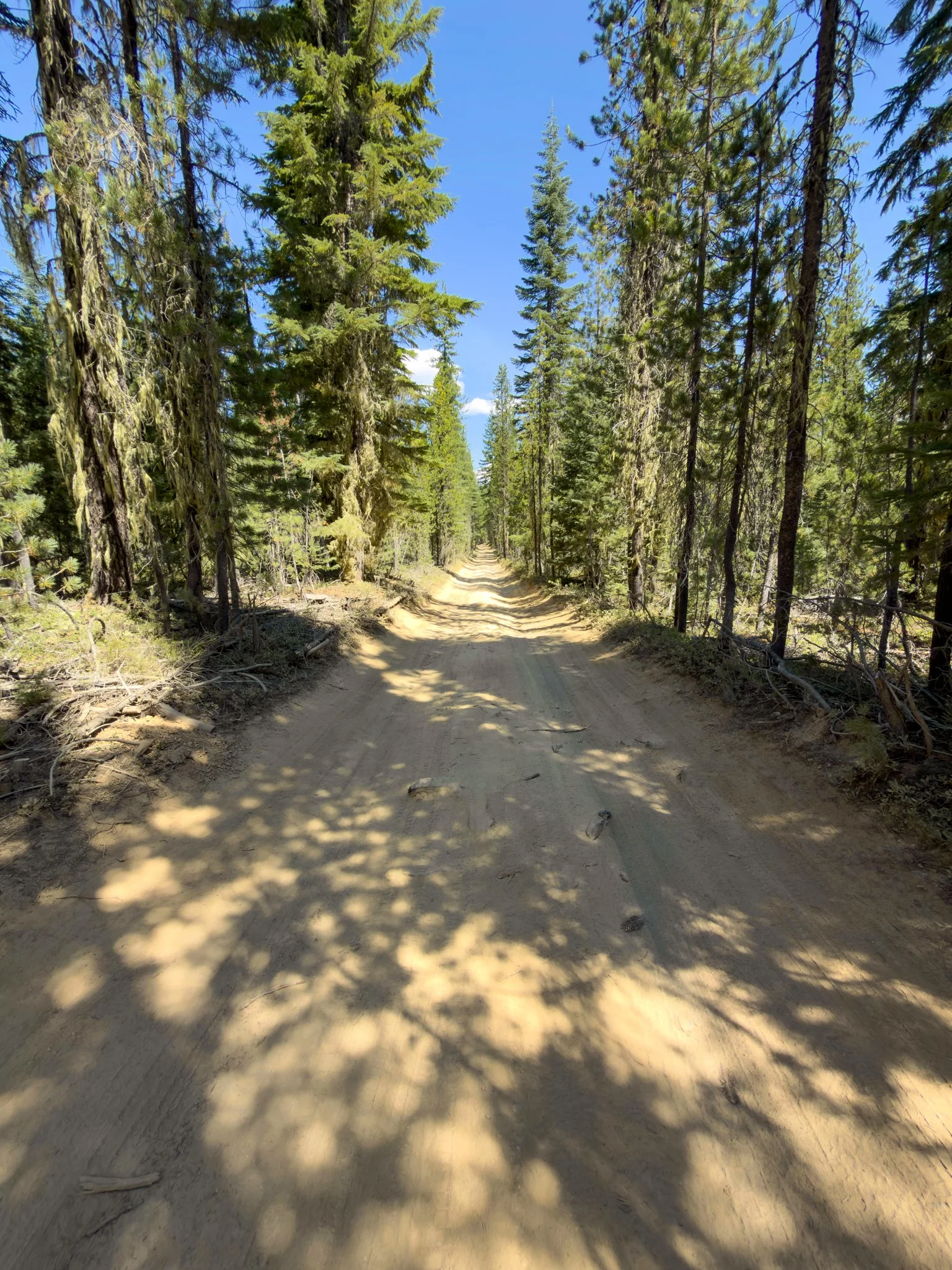
For the lower approach, the Forest Service directs visitors from Highway 138 onto Forest Road 2610, also called Birds Point Road. Continue approximately 4.2 miles, turn left onto Thorn Prairie Road 3401, and follow it about half a mile. Turn right onto Road 3401-800, continue approximately 1.75 miles, then turn right onto Road 3401-840. The trailhead is about a quarter mile farther, at the road’s end.
Google Maps worked well for finding this trailhead when I visited. Apple Maps didn’t show the particular starting point I needed when I checked. Because there are multiple routes to the waterfall, compare your driving destination with the Lower Lemolo Falls route before leaving.
Download both your driving directions and trail map in advance. There’s little to no service out here.
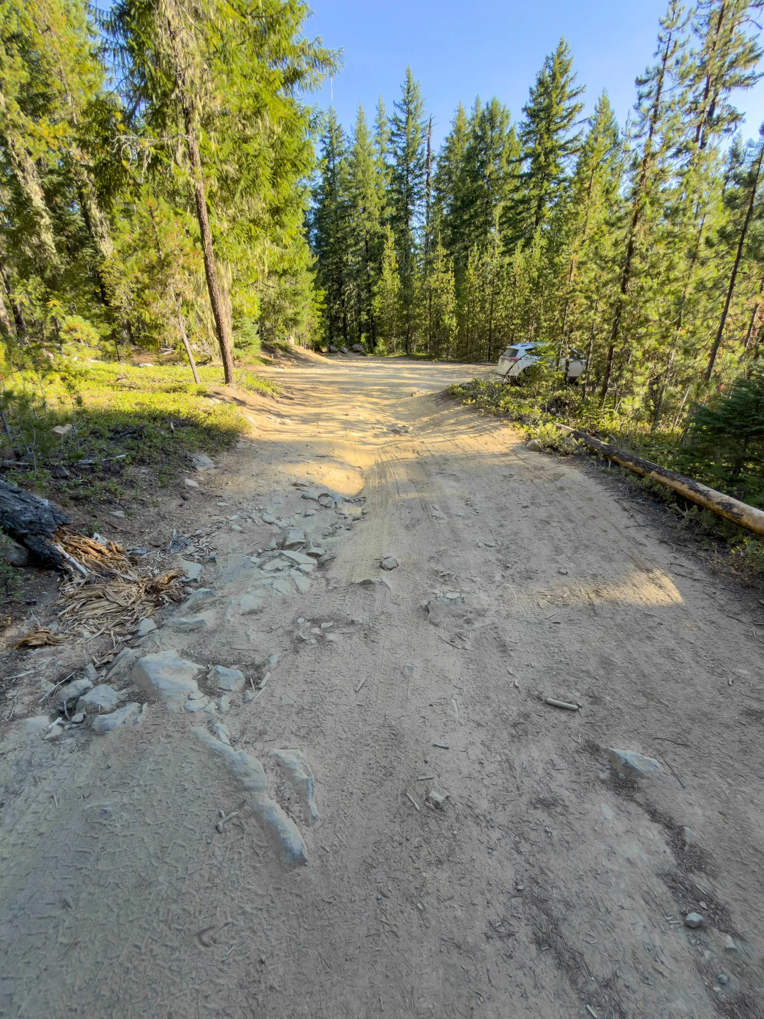
The last stretch of road is bumpy and uneven. I’d prefer an SUV or truck with decent ground clearance. Don’t keep driving simply because your map shows the road continuing. If you stop before the roughest section, park only where there’s suitable space without blocking the road or other vehicles.
Check the Umpqua National Forest’s current alerts before your trip, especially if you’re visiting outside the usual summer hiking season.
Trailhead & Parking
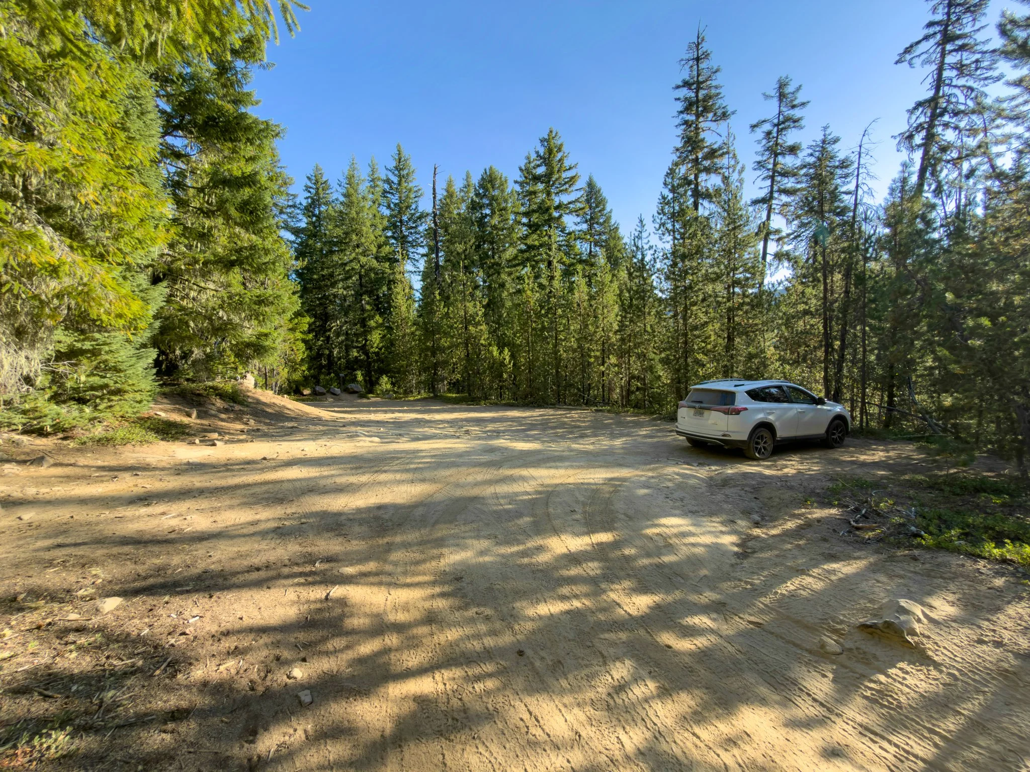
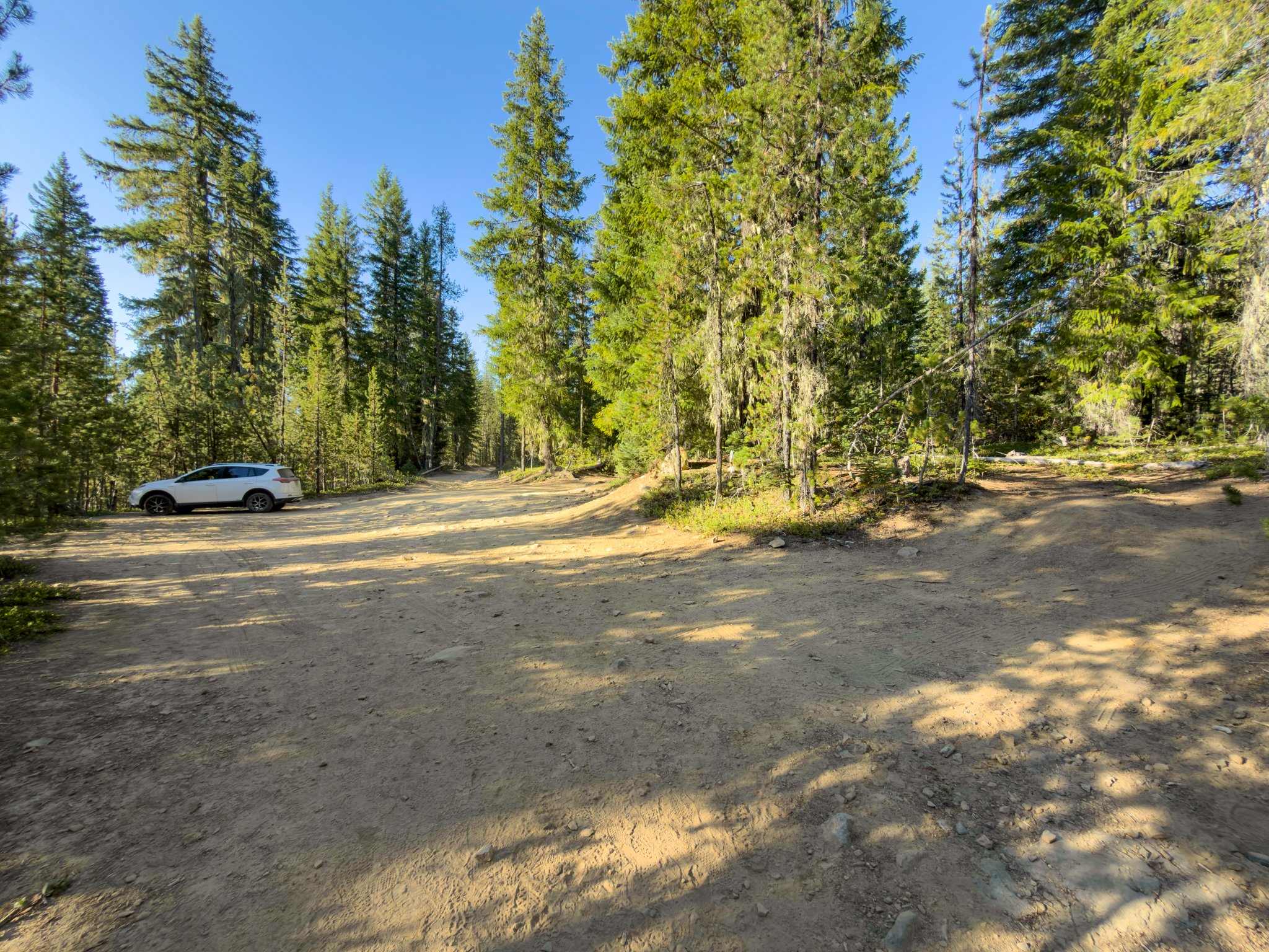
The parking area had two sections during my visits. The first held about three or four cars. Beyond another rough section, there was room for probably five or six more.
Those are rough estimates, and the condition of that final section can affect how much parking is practical.
The area is also very dusty. Be ready for dirty shoes and possibly a little dust on your pants before you even start walking.
There are no restrooms or trash cans here, so arrive prepared and pack everything out.
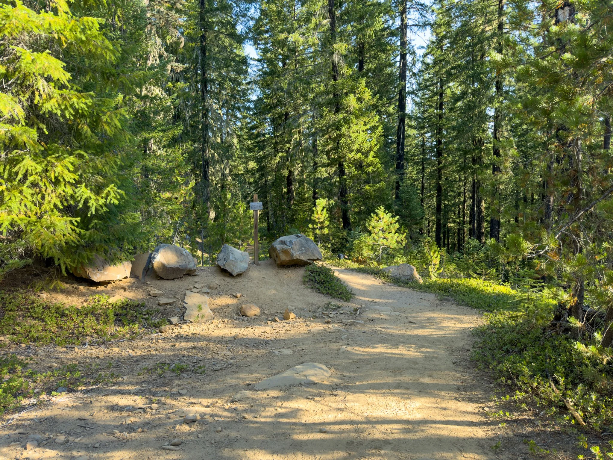
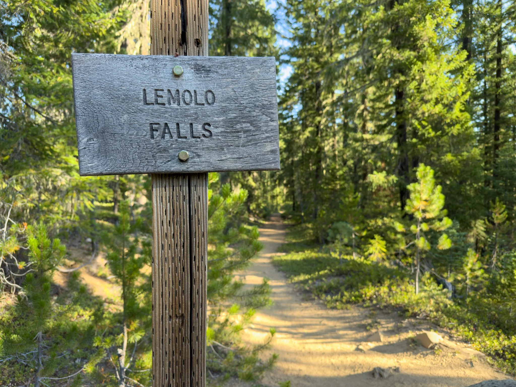
Look for the large boulders and Lemolo Falls sign on the opposite side of the parking area from the entrance road. The trail begins beyond them.
The Trail to Lemolo Falls
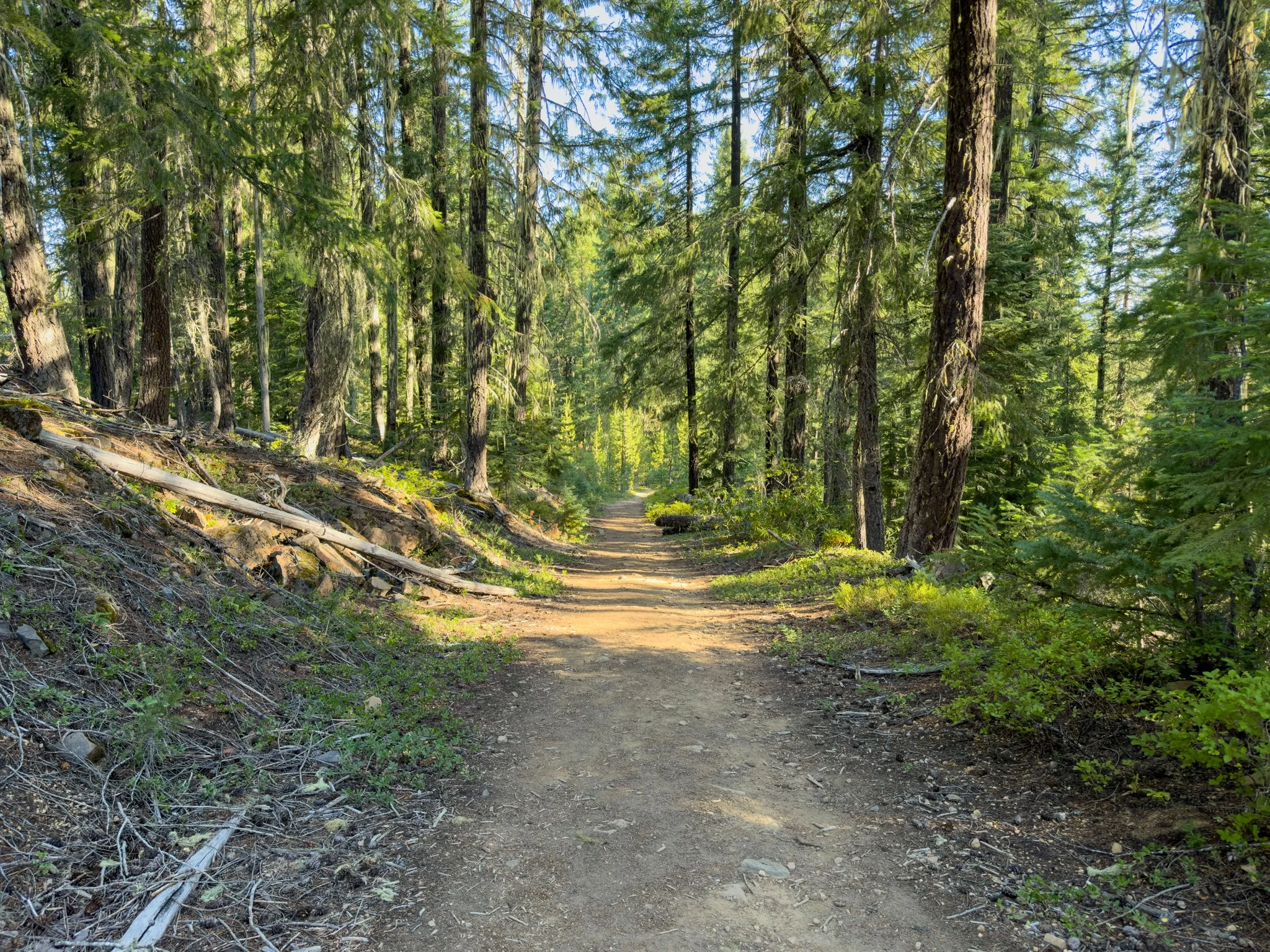
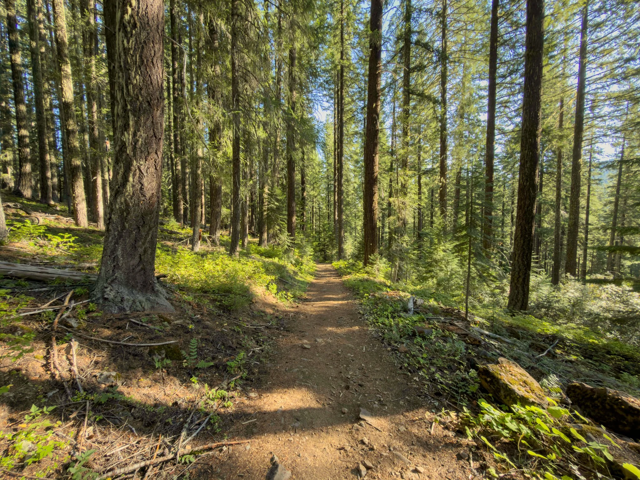
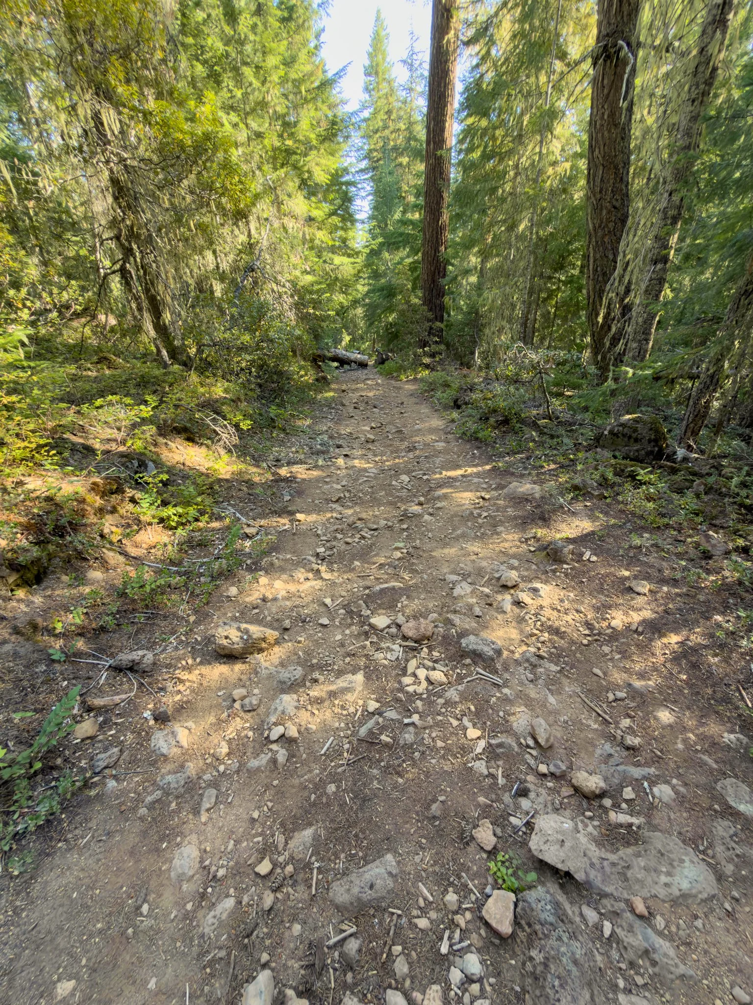
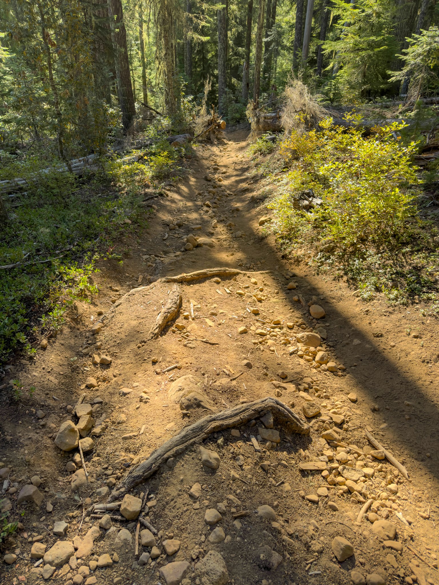
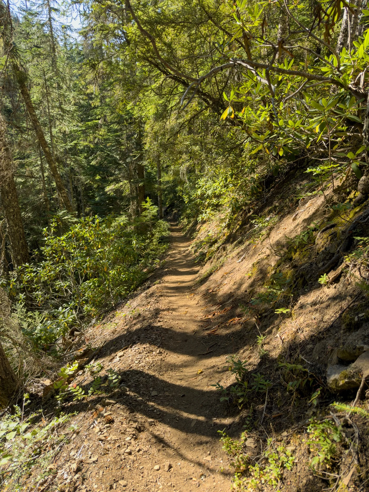
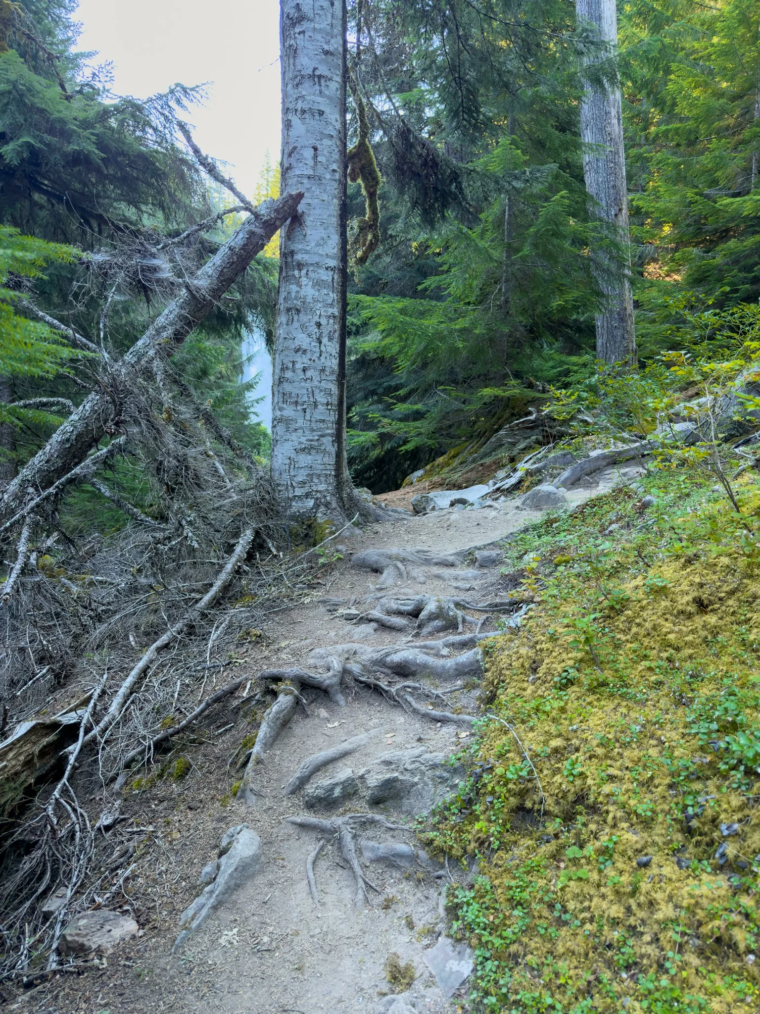
The hike starts on a wide, road-like section before narrowing into a forest trail. It switches between those wider stretches and more confined sections as it descends.
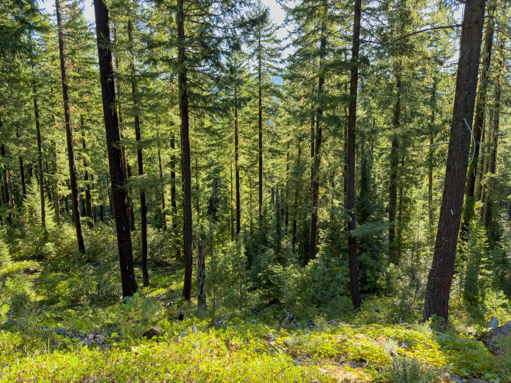
Douglas-firs and lodgepole pines rise above a green understory. The upper forest feels a little more like the eastern Cascades to me, especially compared with the thicker, wetter-looking vegetation near the waterfall.
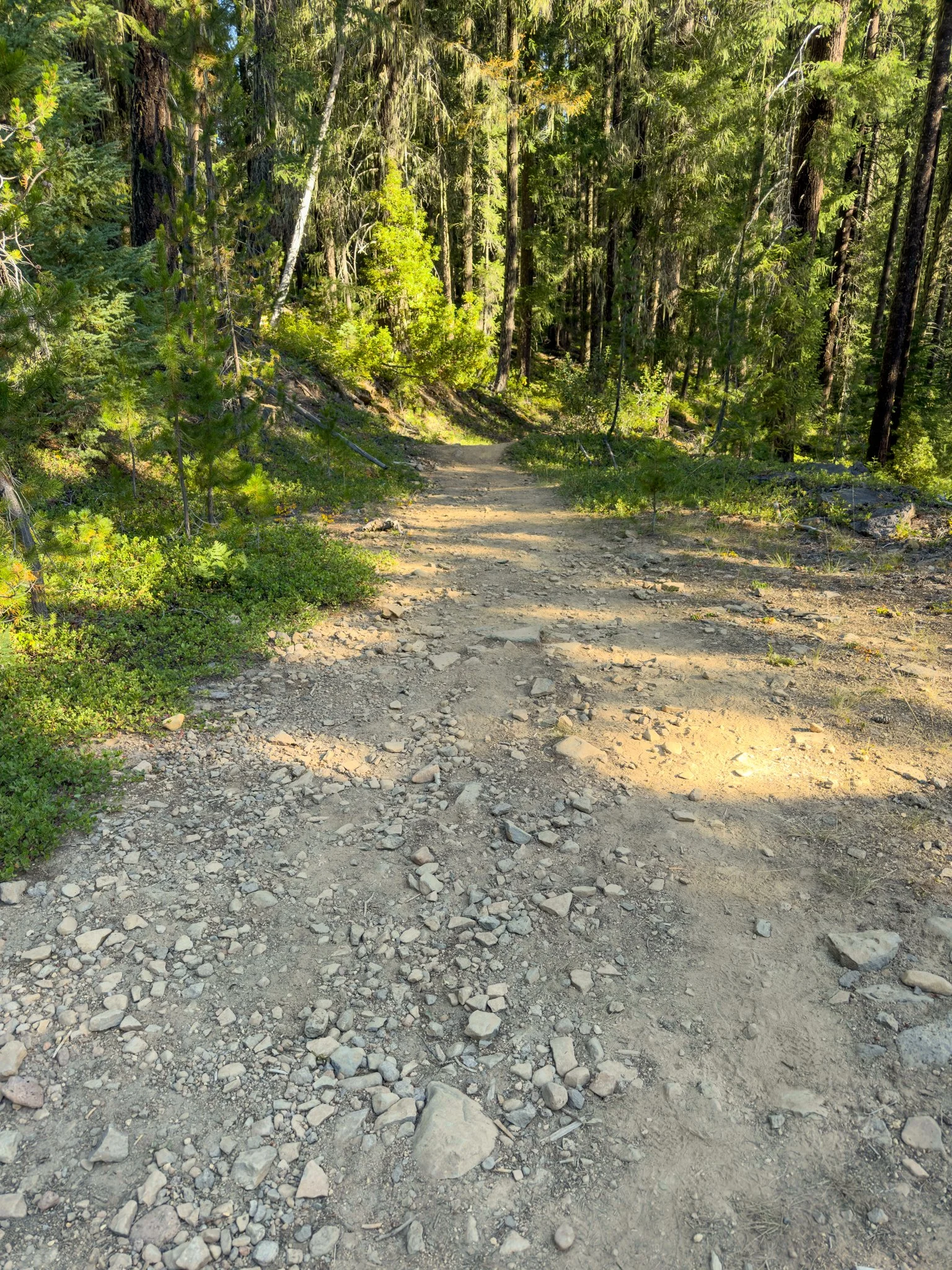
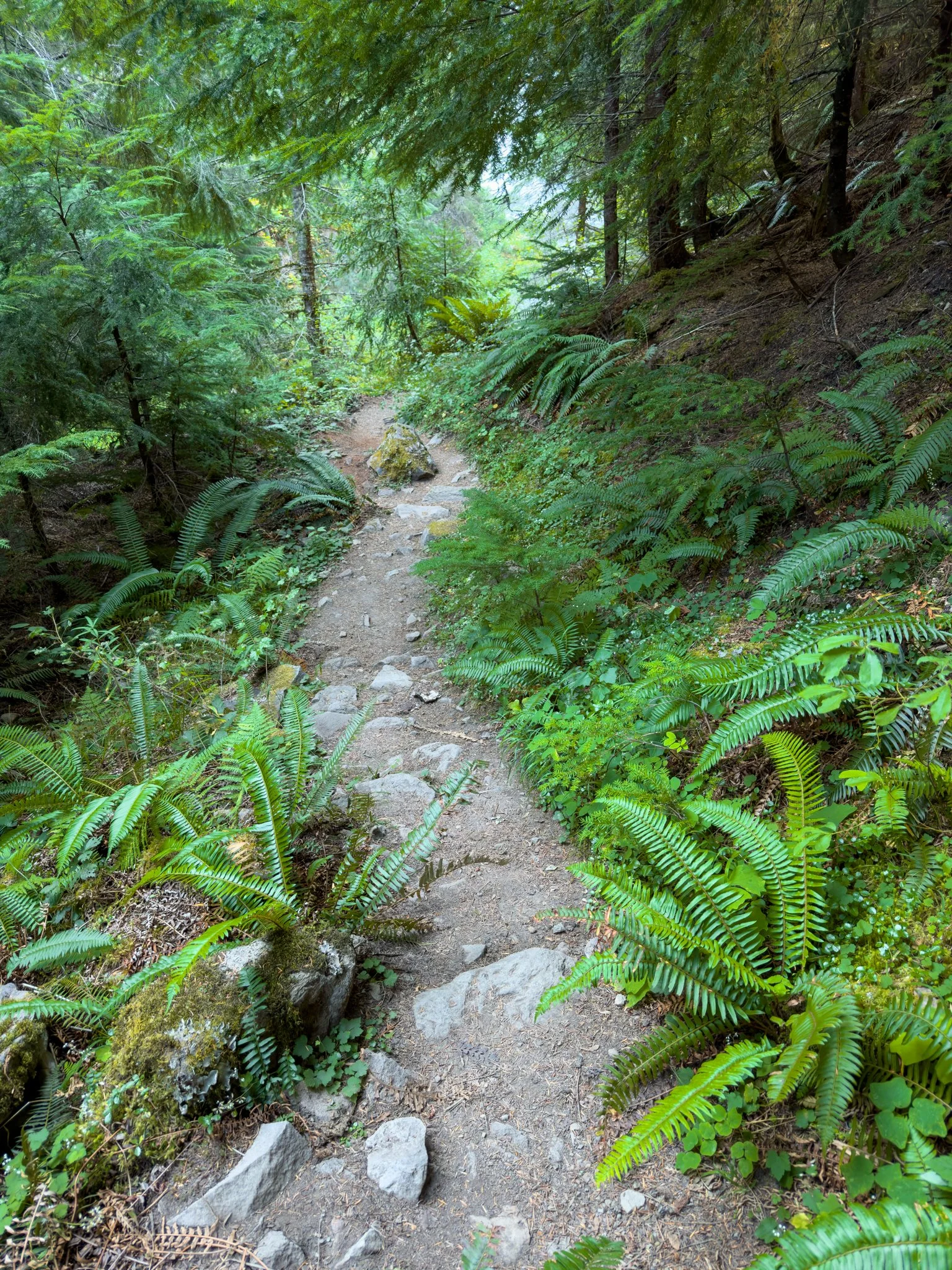
The footing is rocky in places, particularly near the beginning. Hiking shoes with good traction make a difference here.
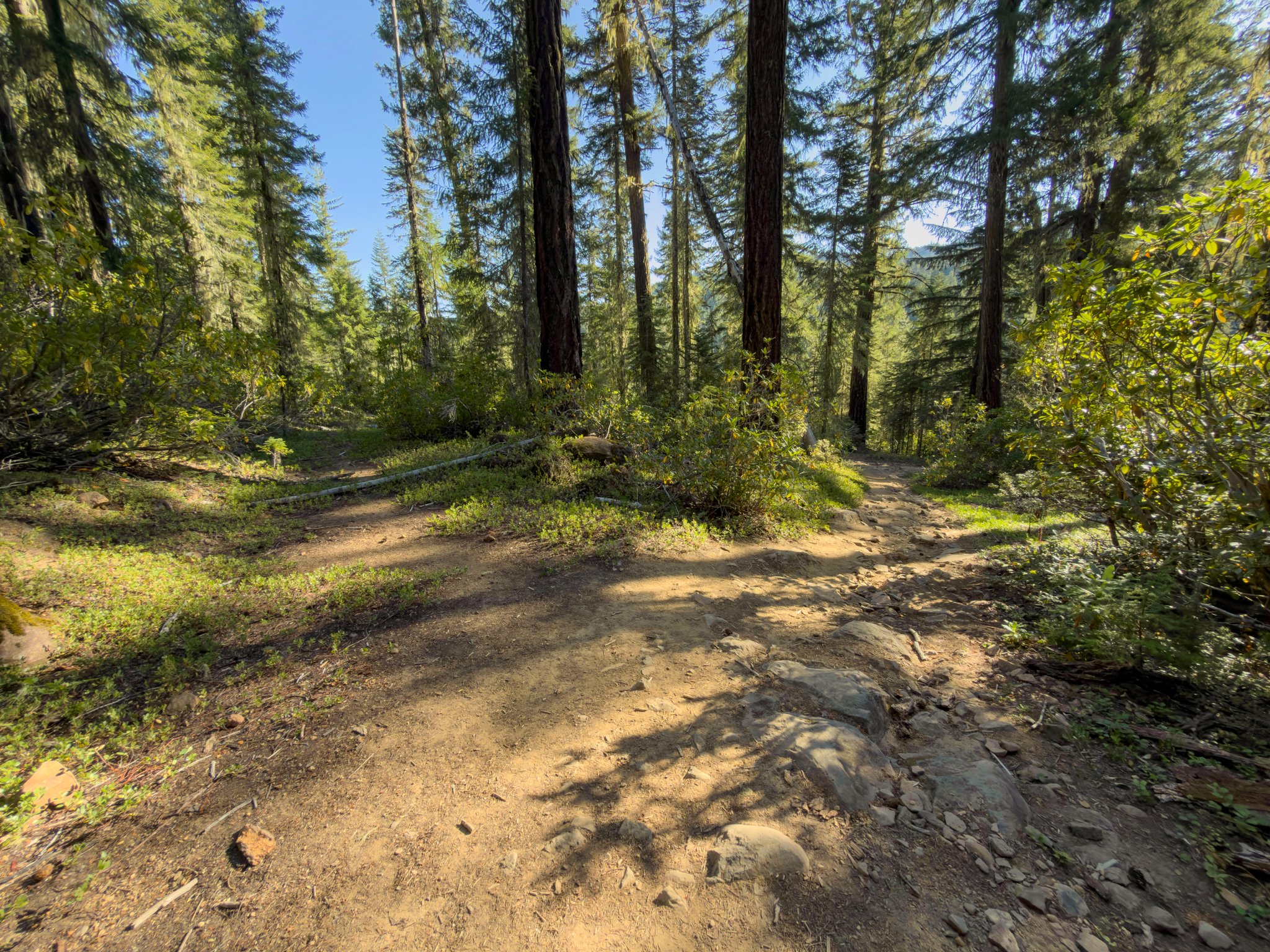
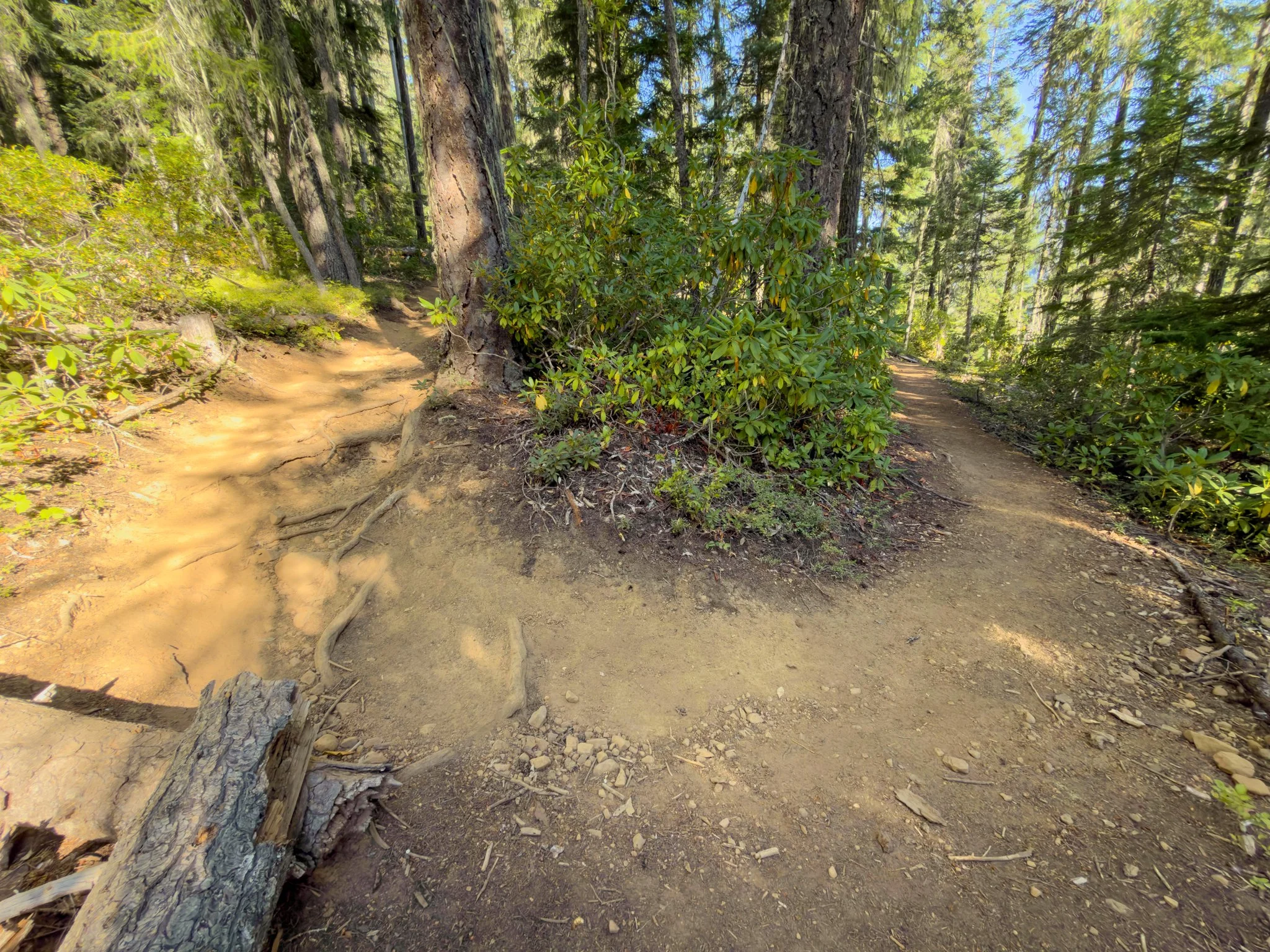
Near the bottom of the first hill, there’s an opening that can look like a junction. A wider route appears to continue left, while the narrower trail heads right. Stay right toward the falls. Farther down, another opening heads left; rocks marked the main route during my visit.
You might notice an old picnic table off to the right. When I was there, it was surrounded by overgrowth and cobwebs. I kept moving rather than making a stop.
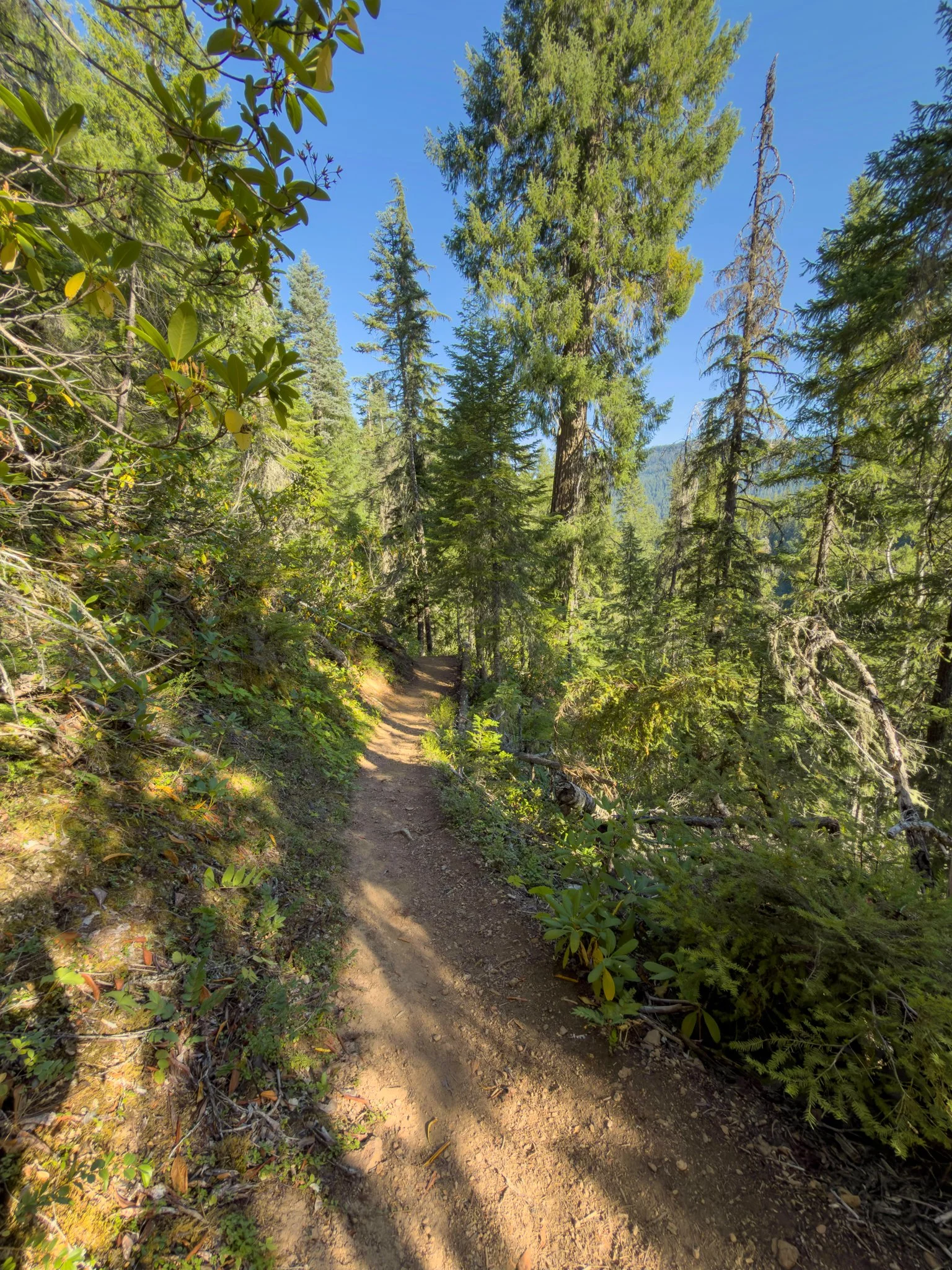
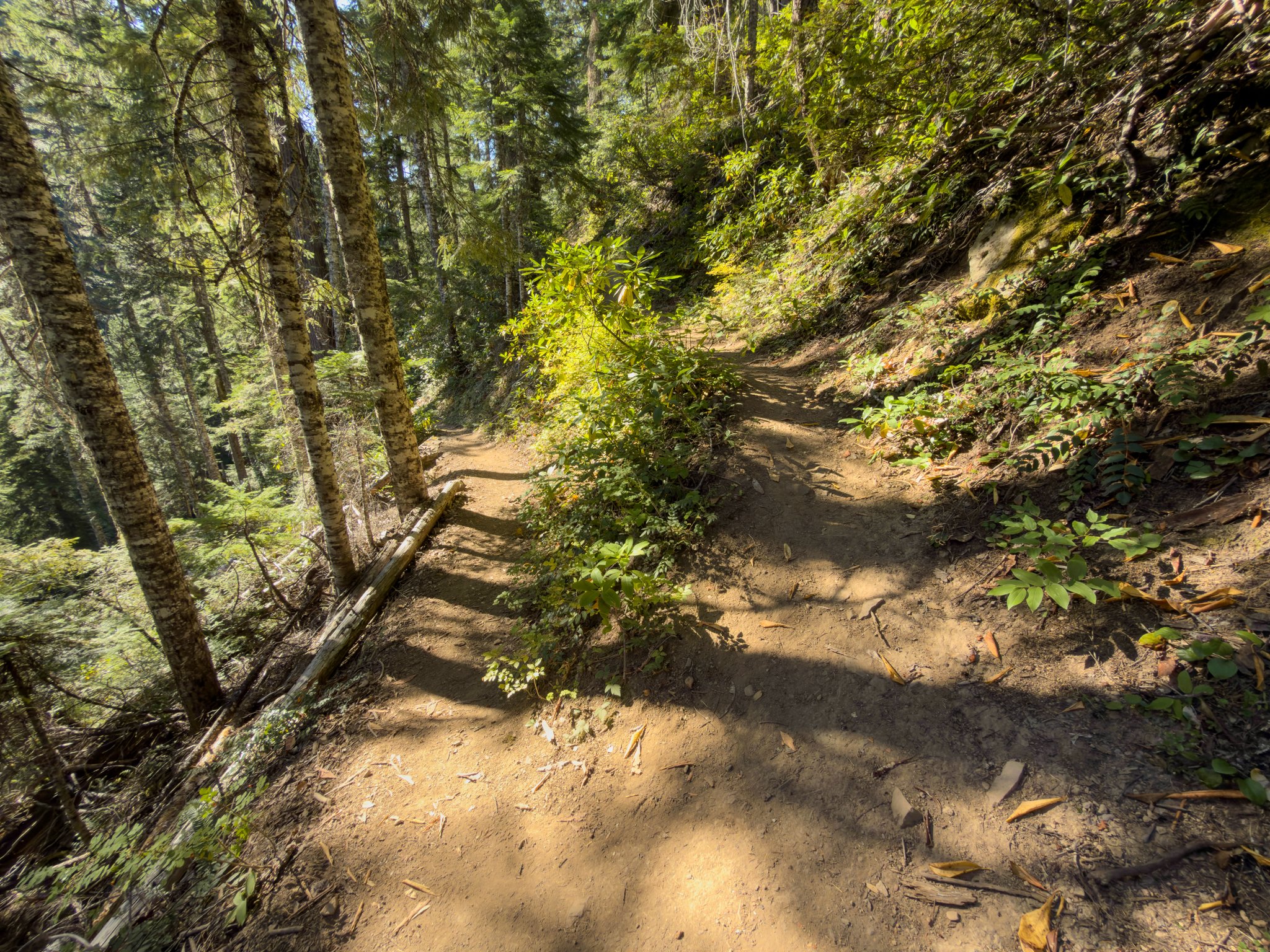
The trail eventually turns sharply and begins descending along the canyon side through a couple of switchbacks. The sound of the waterfall grows louder before the falls come into view. Rhododendrons may add some color during a spring visit.
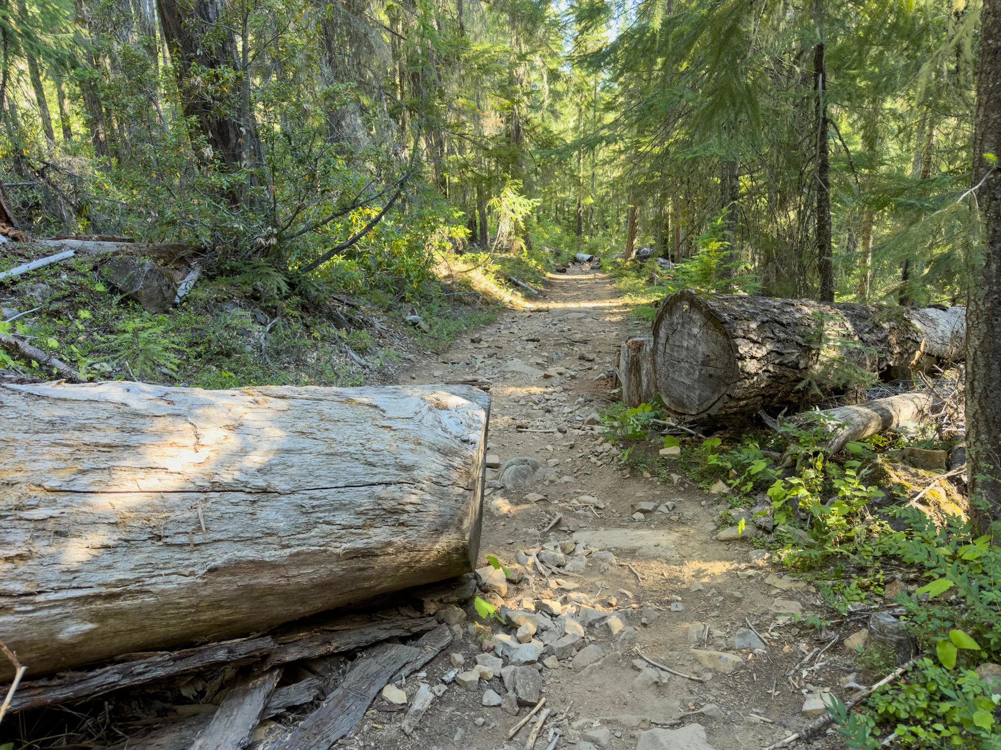
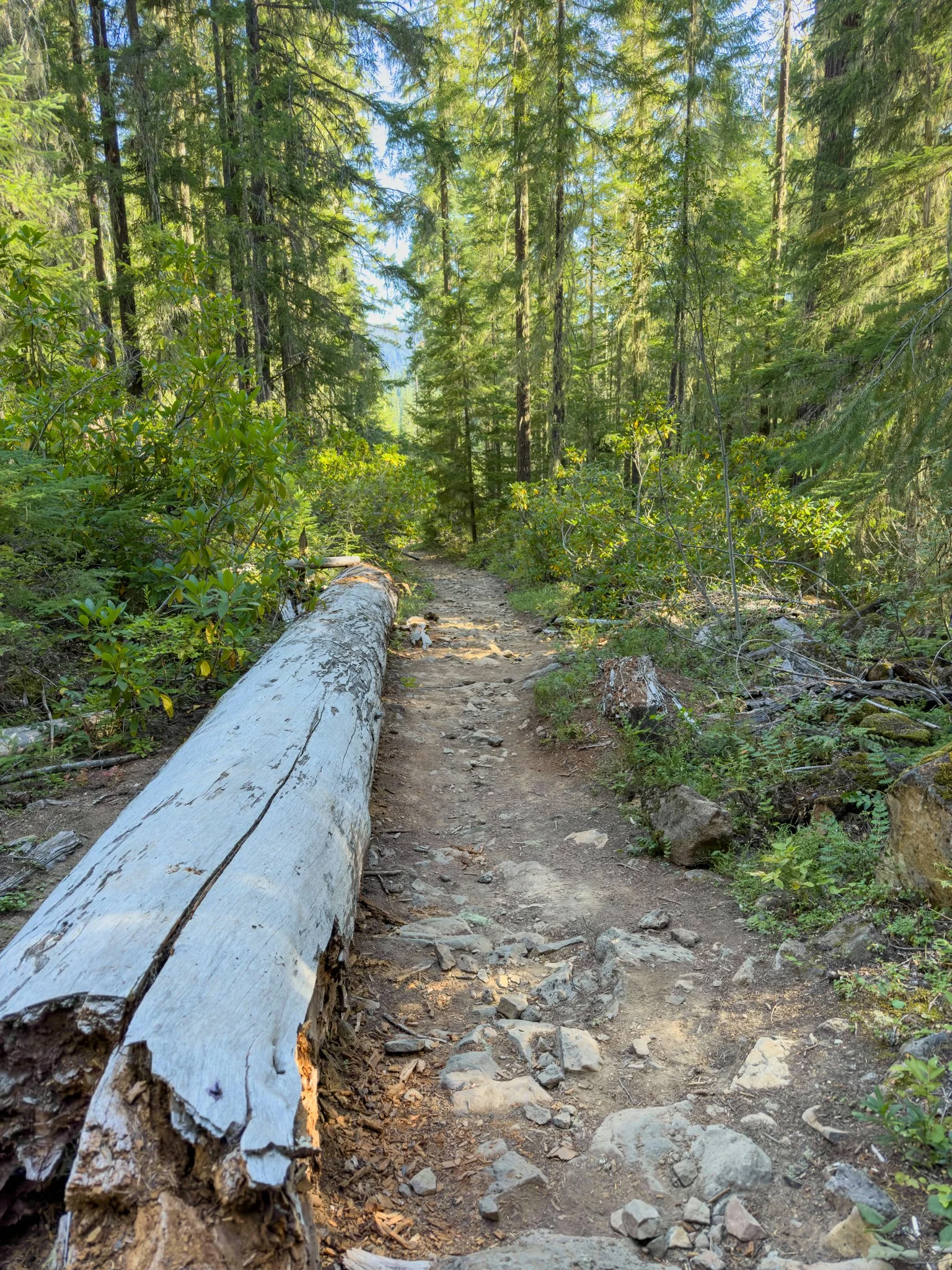
I’ve generally found the trail in pretty good shape, although fallen trees can interrupt the route. As always, conditions can change between visits.
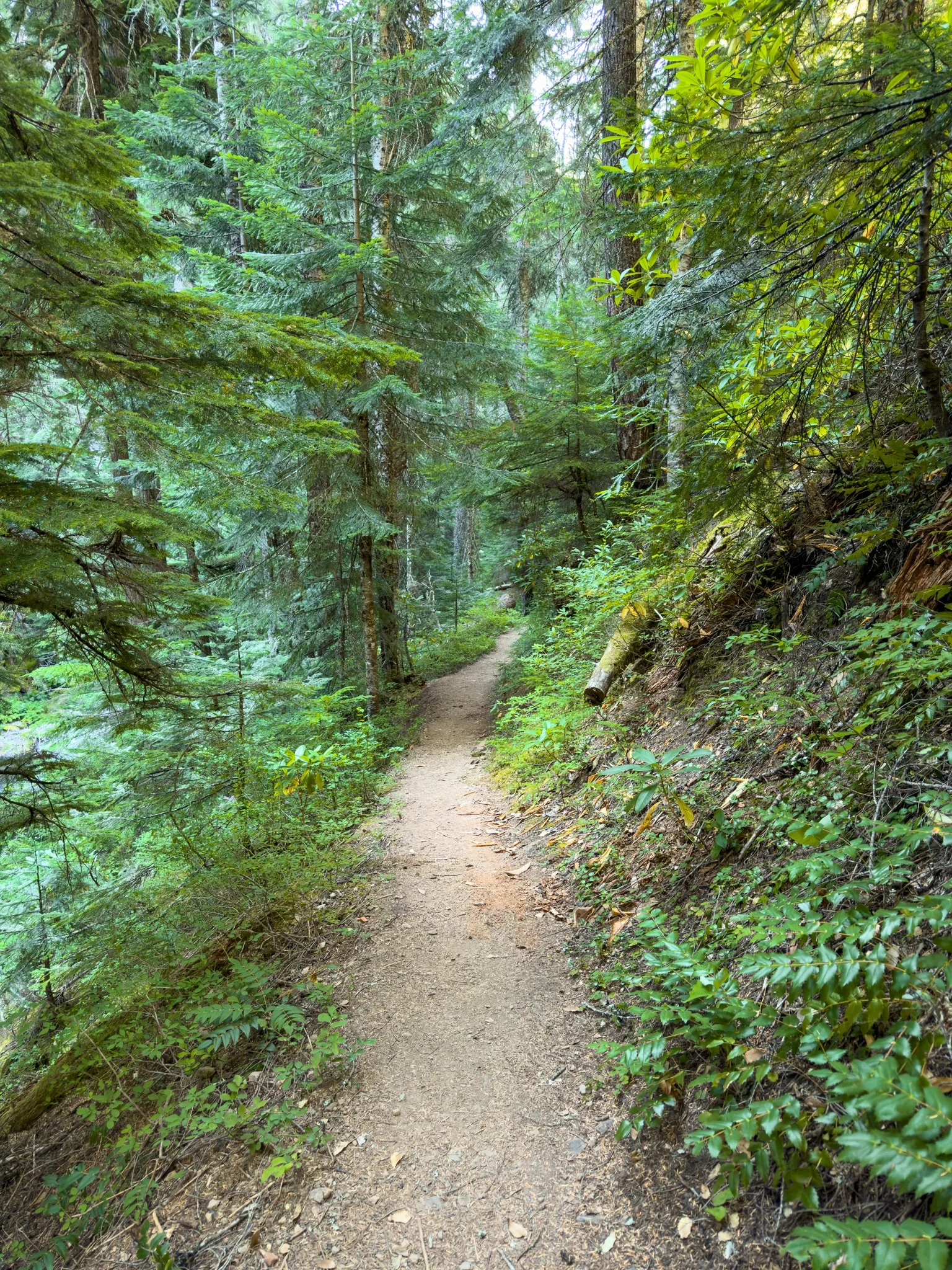
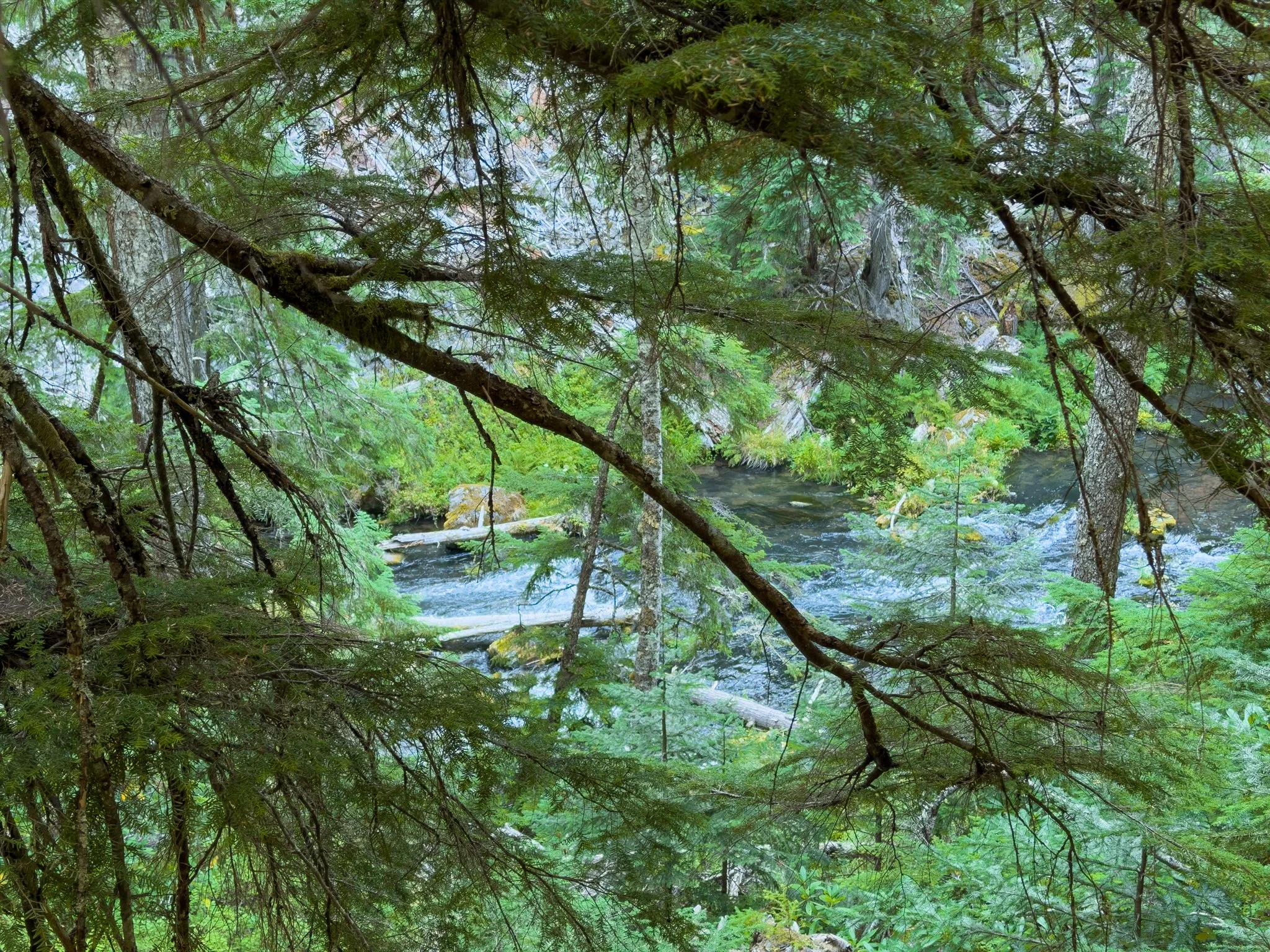
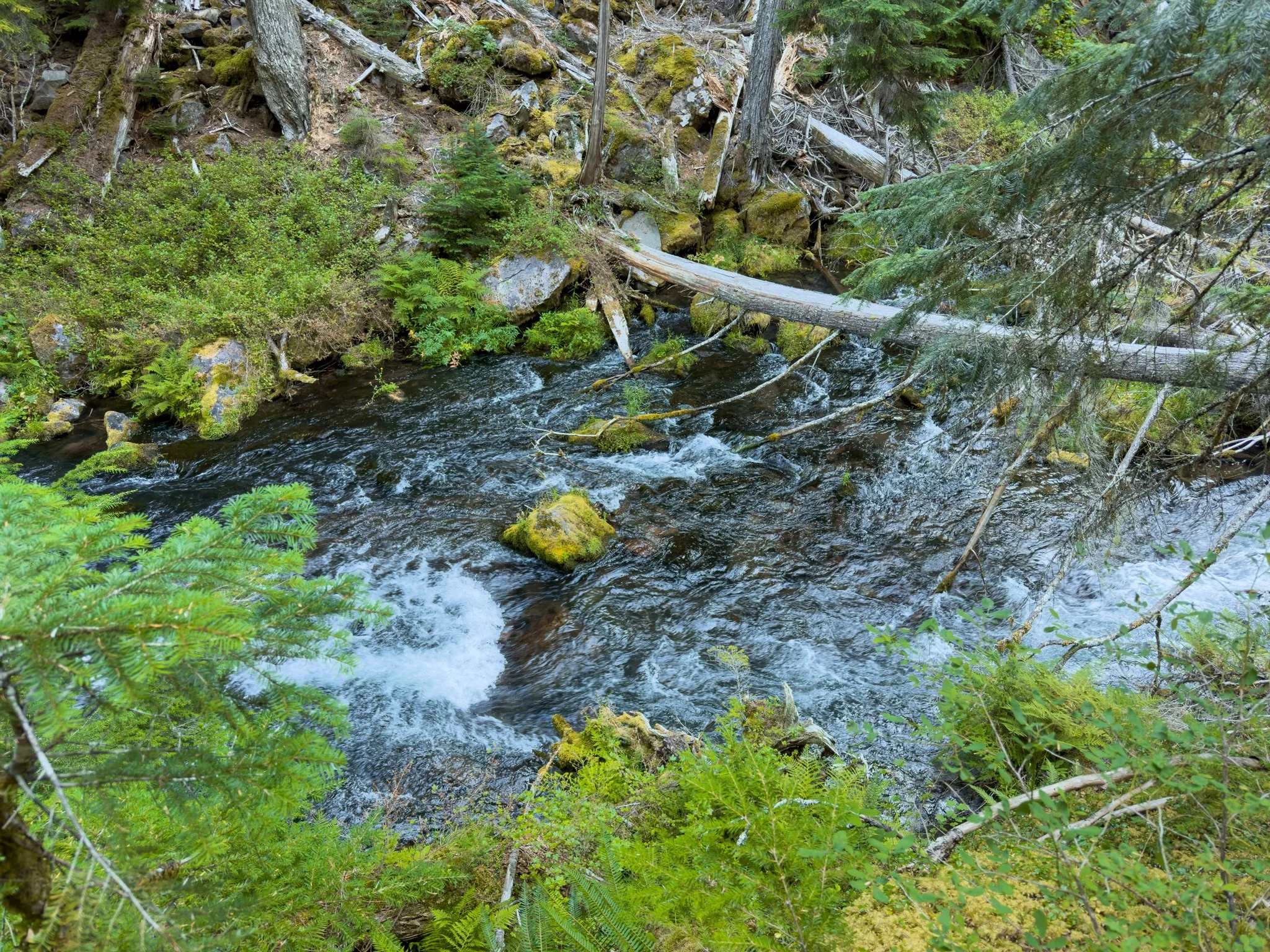
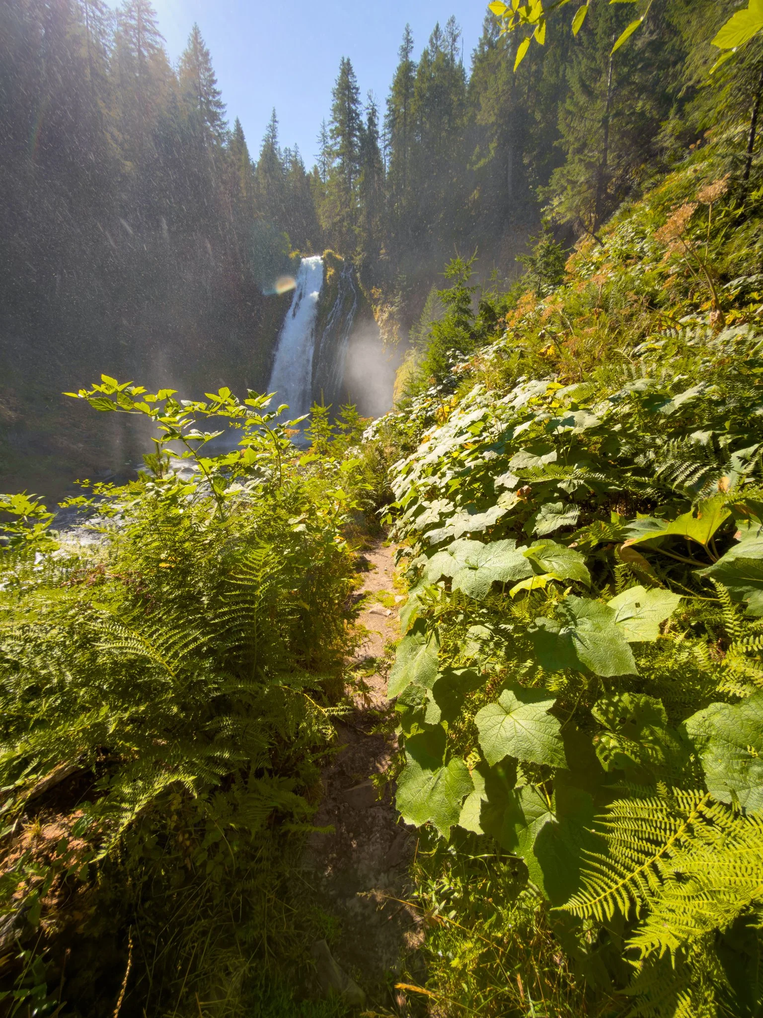
Near the canyon bottom, the grade eases and the forest becomes much more lush. Moss and ferns line the trail, and you begin seeing the North Umpqua River through the trees. Across the water, basalt cliffs rise above the riverbank.
The First View of Lemolo Falls
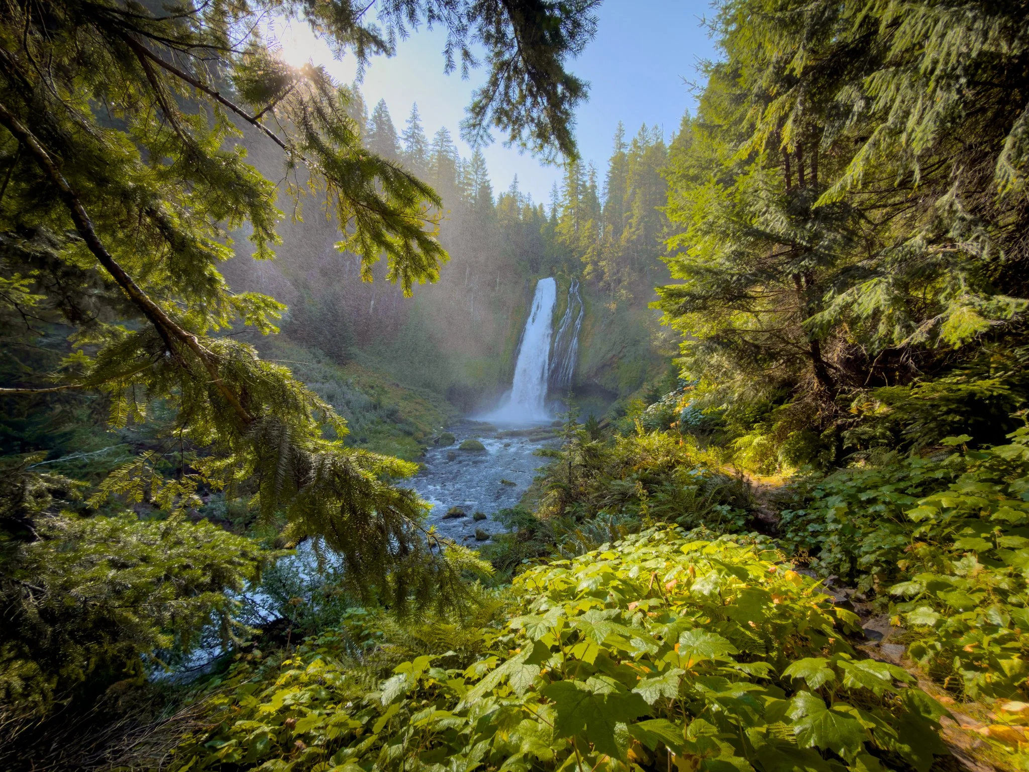
After a few glimpses through the foliage, the trail rounds a corner and opens onto a full view of the waterfall.
This is honestly one of my favorite places to stop.
The trees frame the falls, and the plants below fill the foreground with green. You’re far enough back to appreciate the waterfall and its surroundings together.
The main flow comes down the moss-covered cliff into the river, sometimes accompanied by smaller streams of water alongside it.
Lemolo’s flow is influenced by the dam upstream. It can look fairly consistent between visits, but snowmelt, reservoir releases, and hydroelectric operations can change the conditions. A previous visit or photograph won’t tell you exactly what to expect.
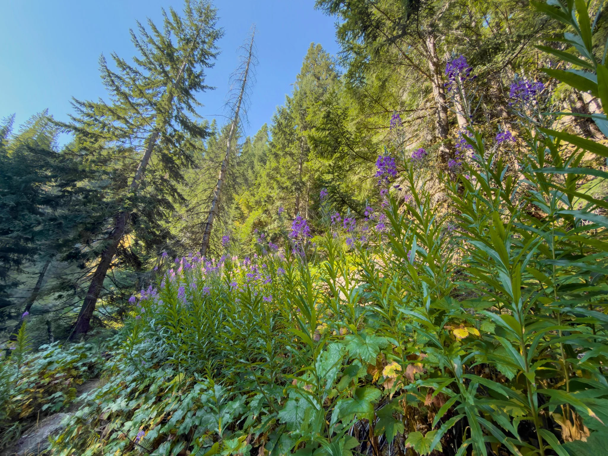
On my August visit, fireweed lined the right side of the trail. Birds were calling throughout the basin, and hummingbirds were feeding among the flowers. I’d been here before, but those details made this visit feel a little different.
You can turn around at this viewpoint and still have a wonderful visit. There’s no need to reach the riverbank to appreciate the falls.
Closer Views & the Riverbank
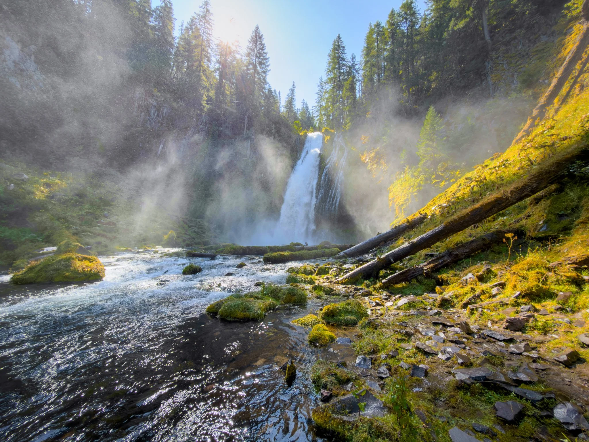
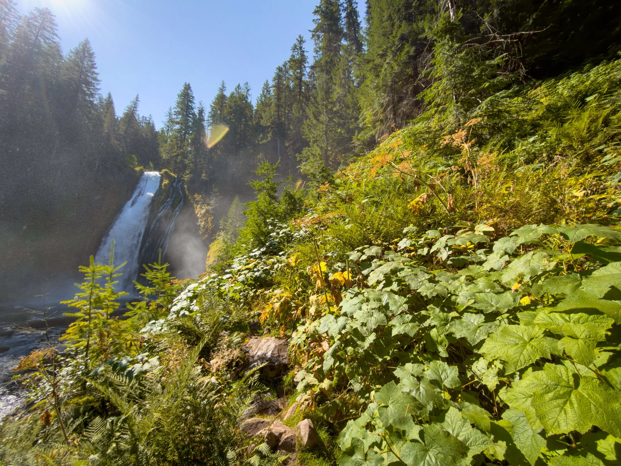
The path continues toward closer views, passing through increasingly thick foliage. In places, plants lean over the trail. After another curve and a tree, the waterfall opens up from a different angle.
I think this section is worth exploring even if you decide against the final descent.
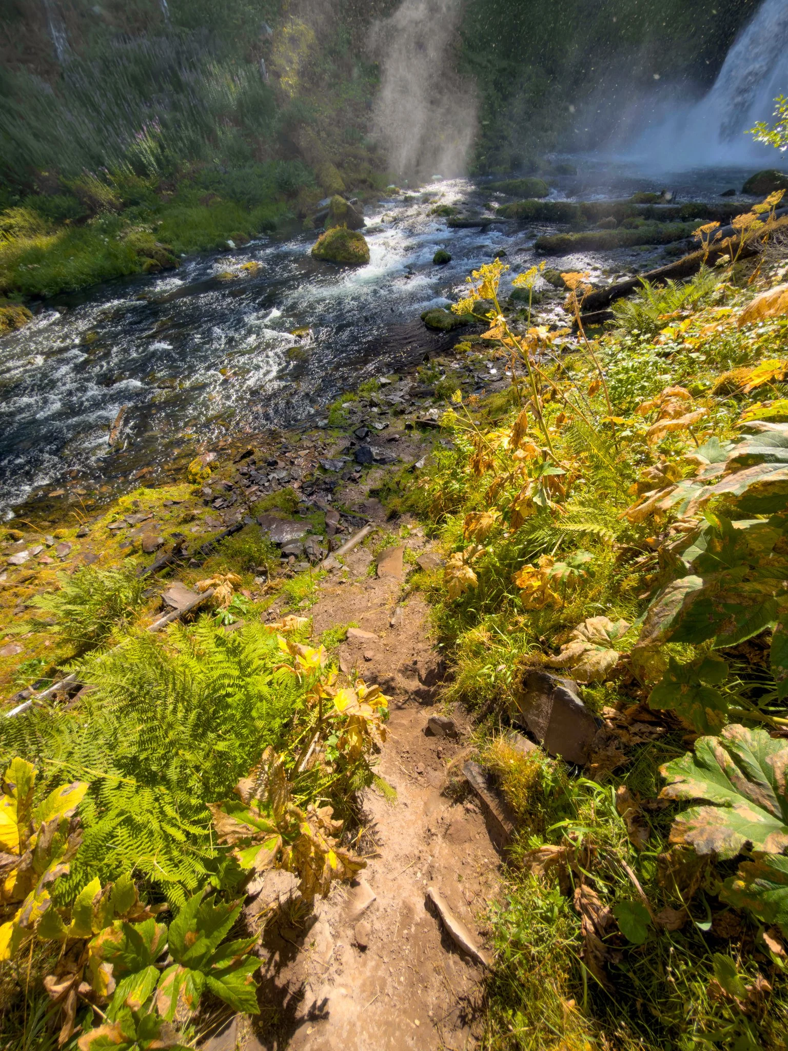
Near the end, a short, steep route leads toward the river. Mist can make the dirt muddy and the rocks slippery. Treat this as an optional scramble, separate from the main trail experience.
Only continue if the conditions and footing are within your ability. You’re responsible for assessing the route and continuing at your own risk.
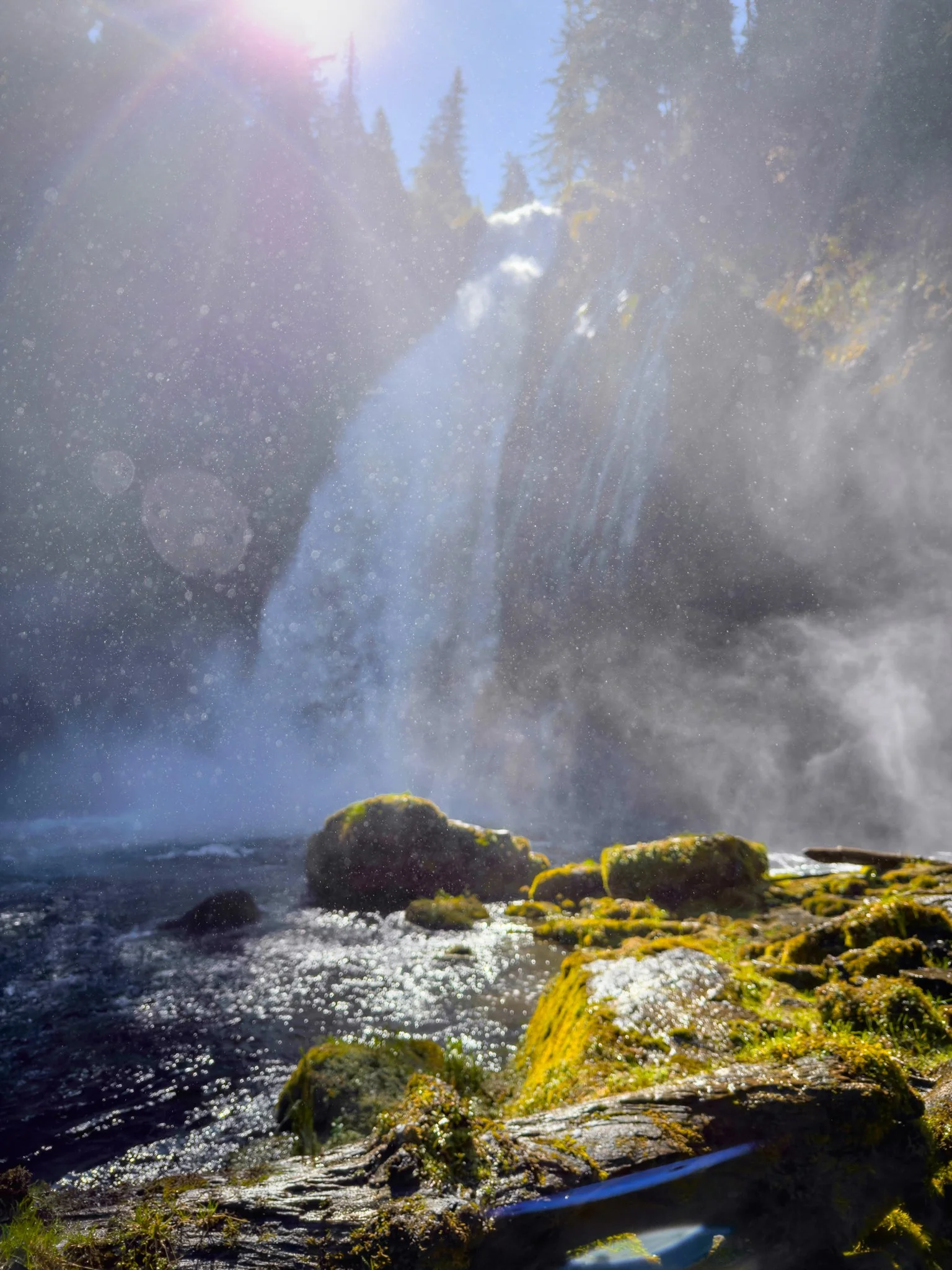
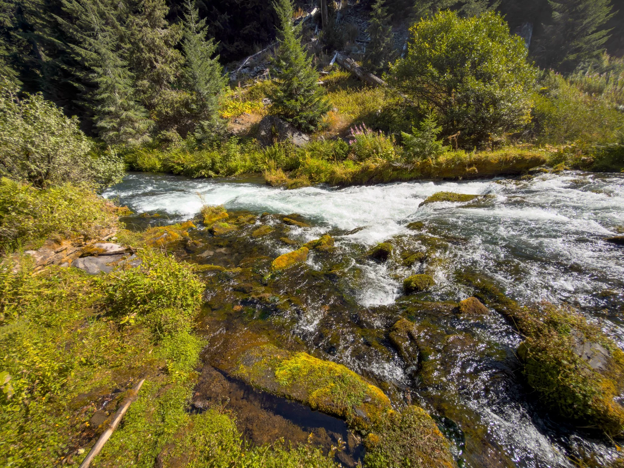
Down near the water, the experience is much more immersive. You can feel the spray drifting across the basin and hear the river rushing beside you. On a warm day, I really enjoy spending a little time here.
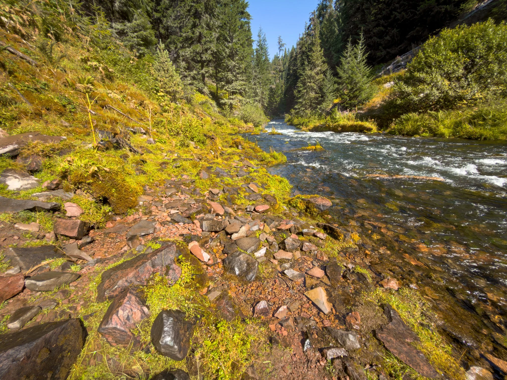
Moving farther along the bank requires more care. There isn’t a developed trail through the whole area, and the rocks can be especially slippery upstream. A large fallen tree also interrupted the bank when I visited. Getting beyond an obstacle isn’t necessary for a worthwhile view.
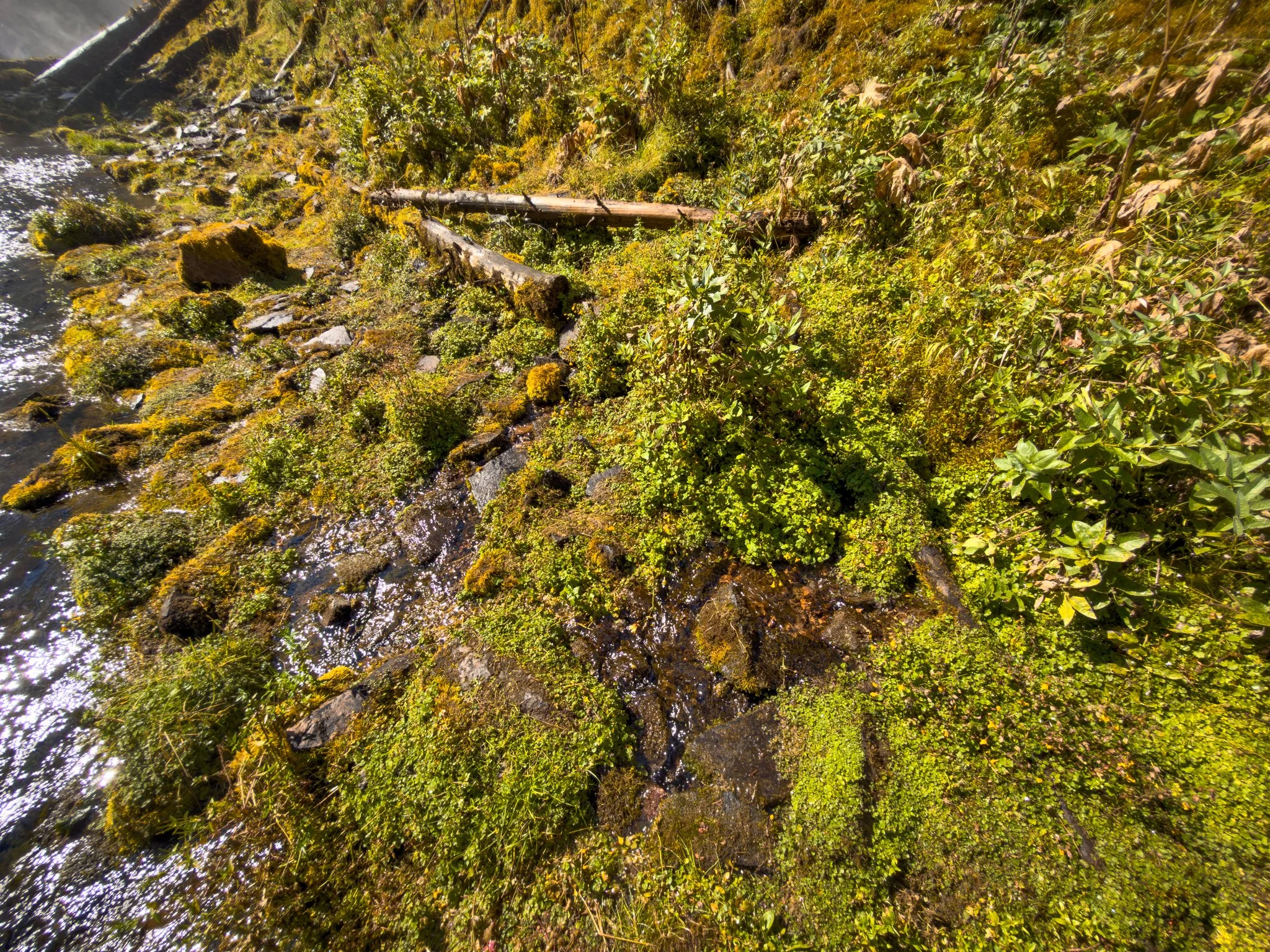
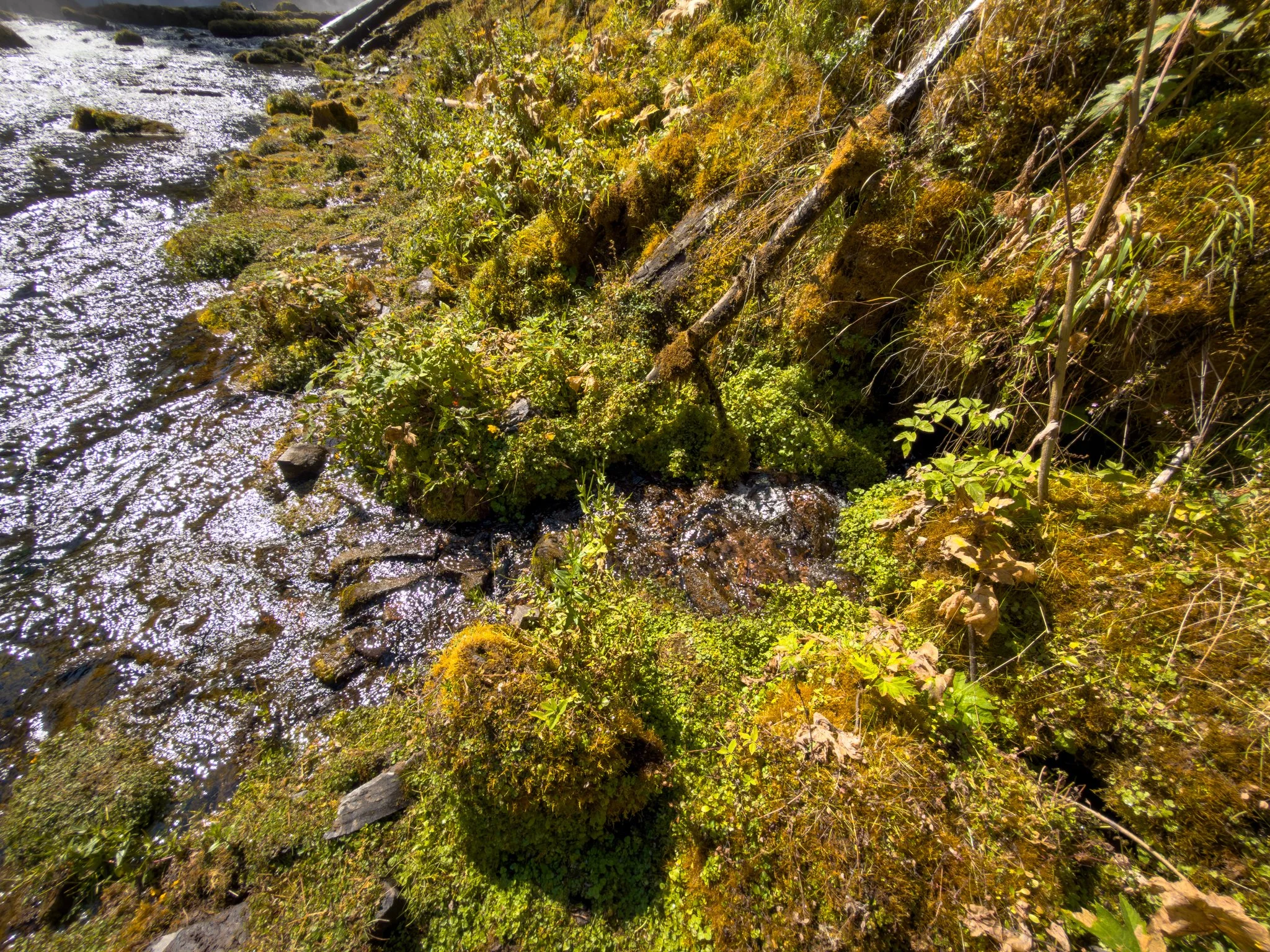
Farther downstream, I found some flatter areas where I could enjoy the falls from a distance. Water seeped out of the mossy banks into little side channels, and wildflowers grew across the river.
With birds moving along the water and the occasional light mist drifting toward me, it was a beautiful place to slow down. Rocks and logs along the bank gave me somewhere to stop for a snack before heading back.
The Hike Back & Final Thoughts
The return follows the same route, and this is where you feel the elevation change. Take your time, bring enough water, and remember that stopping early on the access road adds more walking after the climb.
The uphill return isn’t my favorite part, but Lemolo Falls keeps bringing me back.
The waterfall, moss-covered cliffs, and North Umpqua River make this a beautiful setting on their own. Add the fireweed and hummingbirds from this visit, and it becomes an experience I’ll definitely remember.
If you’re comfortable with a steep return hike, I really hope you get a chance to explore it for yourself.
Happy exploring 🌿
Can’t visit anytime soon? You can spend more time here through my Lemolo Falls Nature Escapes. Explore more views in the Cinematic Nature Escape, or watch the Ambient Nature Escape for an hour of waterfall sights and sounds.
Have you been here? I’d love to hear about your visit. Leave a comment at the bottom of the page and let me know what you thought!
Gallery
Trailhead Location
Nearby Locations
You Might Also Like

Lemolo Falls: Cinematic Nature Escape
Spend a little more time at Lemolo Falls with changing views of the waterfall, mossy canyon, and North Umpqua River in my Cinematic Nature Escape.