Tumalo Falls & Double Falls | The Best Waterfall Hike Near Bend, Oregon
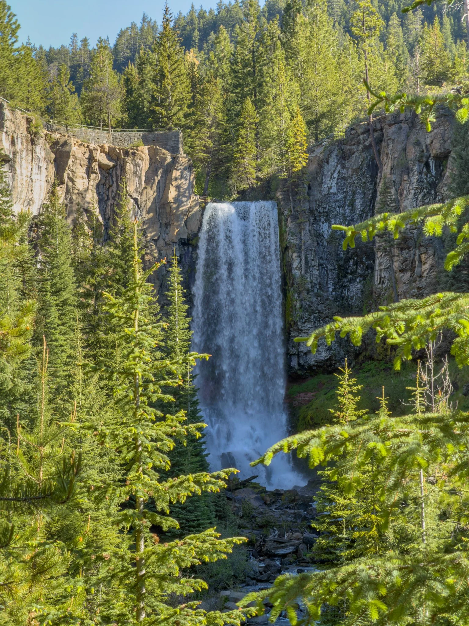
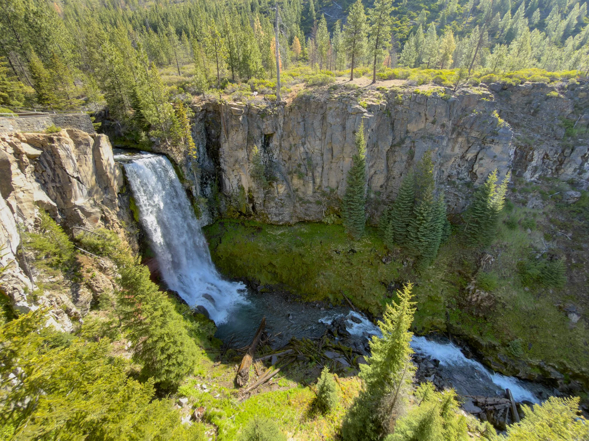
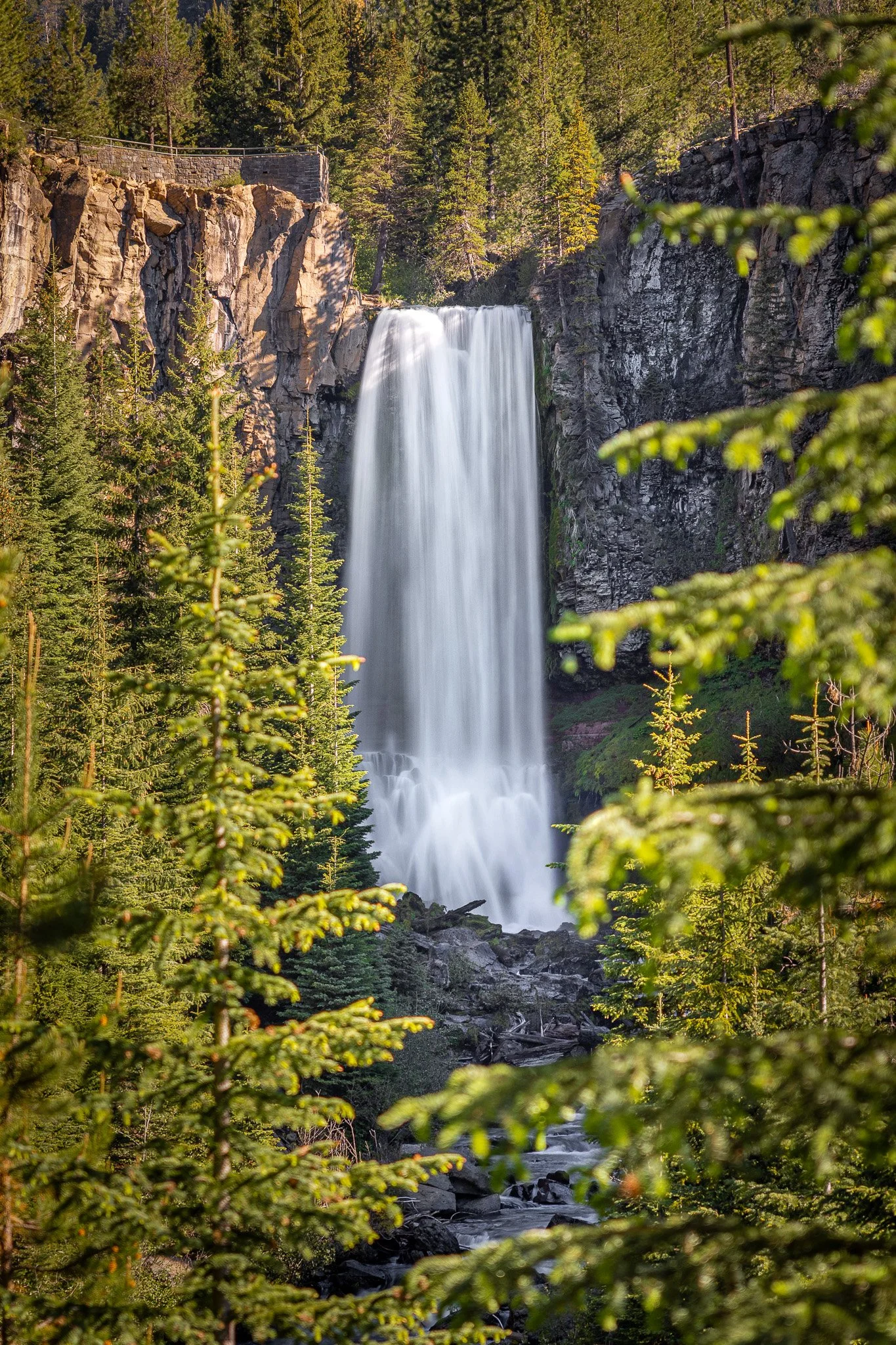
Tumalo Falls sits just outside of Bend in Oregon's Deschutes National Forest, and it's one of those rare destinations that earns its popularity completely. At roughly 90 feet, it's the tallest waterfall along Tumalo Creek — a powerful cascade that pours over a massive basalt cliff into the canyon below, flanked by sheer rock walls and surrounded by the distinctive beauty of the Eastern Cascades. The lower viewpoint is accessible to virtually anyone, and a short climb above the parking area reveals a dramatic upper viewpoint on a metal deck suspended right over the canyon edge. But the real highlight of this trail is what's waiting one mile further up: Double Falls — a magnificent waterfall with a somewhat misleading name.
What makes this trail exceptional is the sheer amount it delivers in a short distance. You get two distinct Tumalo Falls viewpoints, a long stretch of gorgeous creek walking with multiple spots to stop, wade in, and relax along the way, and then Double Falls — which turns out to be quite a bit more than the name suggests. All of it in 2.1 miles, with only 324 feet of elevation gain. It's hard to think of another hike in Central Oregon that packs in this much.
Video Walkthrough Guide
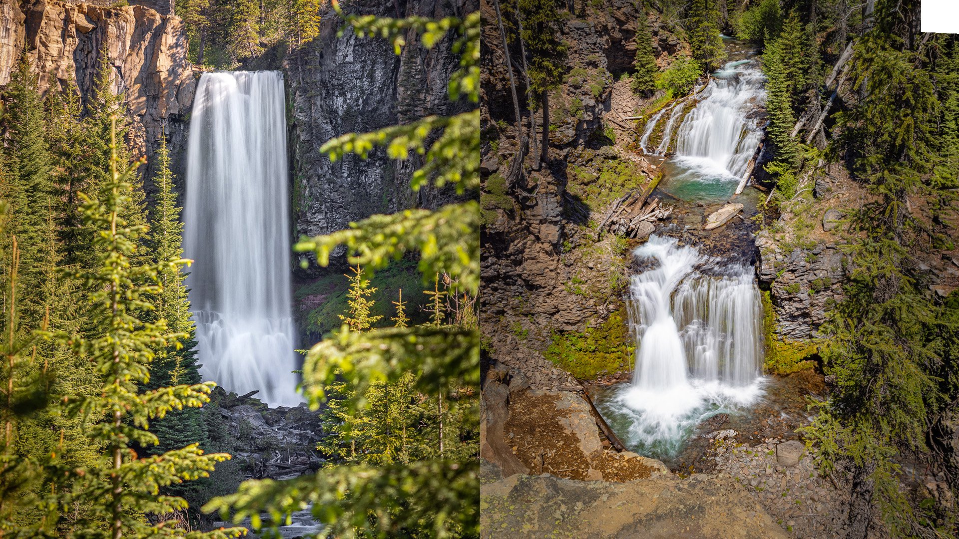
Click the Play Button above for the Video Guide, or continue down to read the Full Review.
Quick Facts
- Difficulty: Easy
- Hike Length: 2.1 Miles
- Elevation Gain: 324 ft.
- Hike Type: Out & Back
- Pass Required: Yes*
- When to Visit: Spring – Fall**
- Pets: Dogs on Leash
- Kids: Yes, with caution
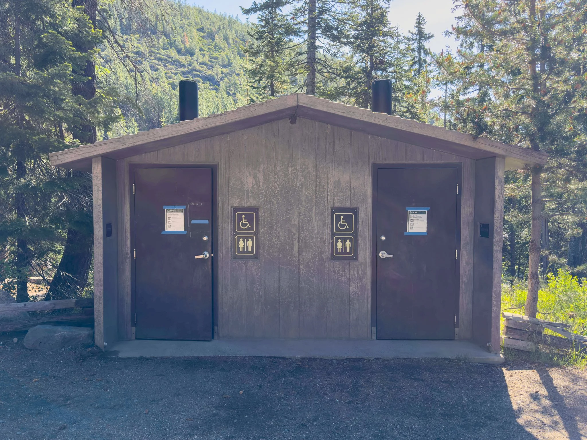
- Facilities: Vault Toilets
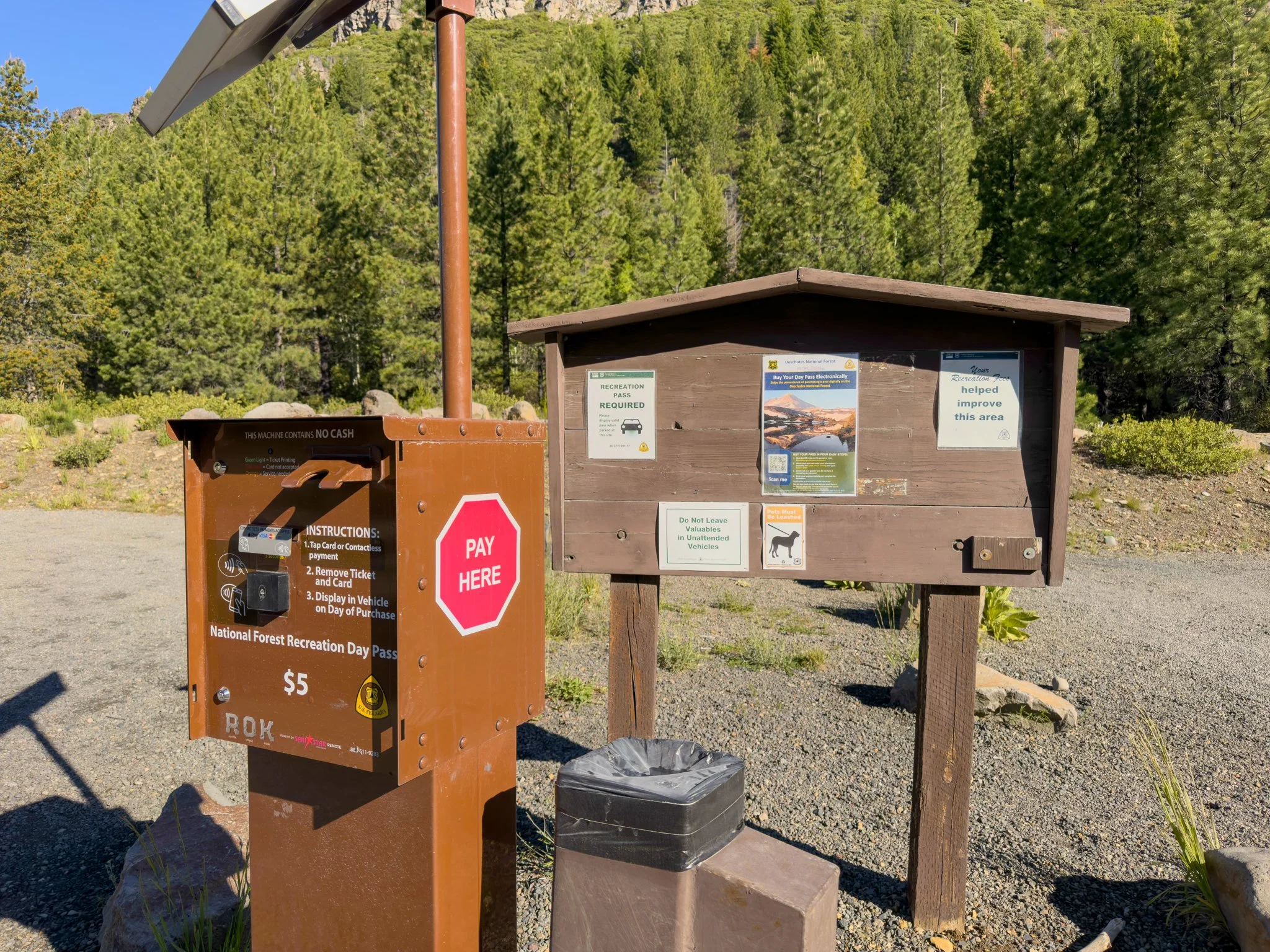
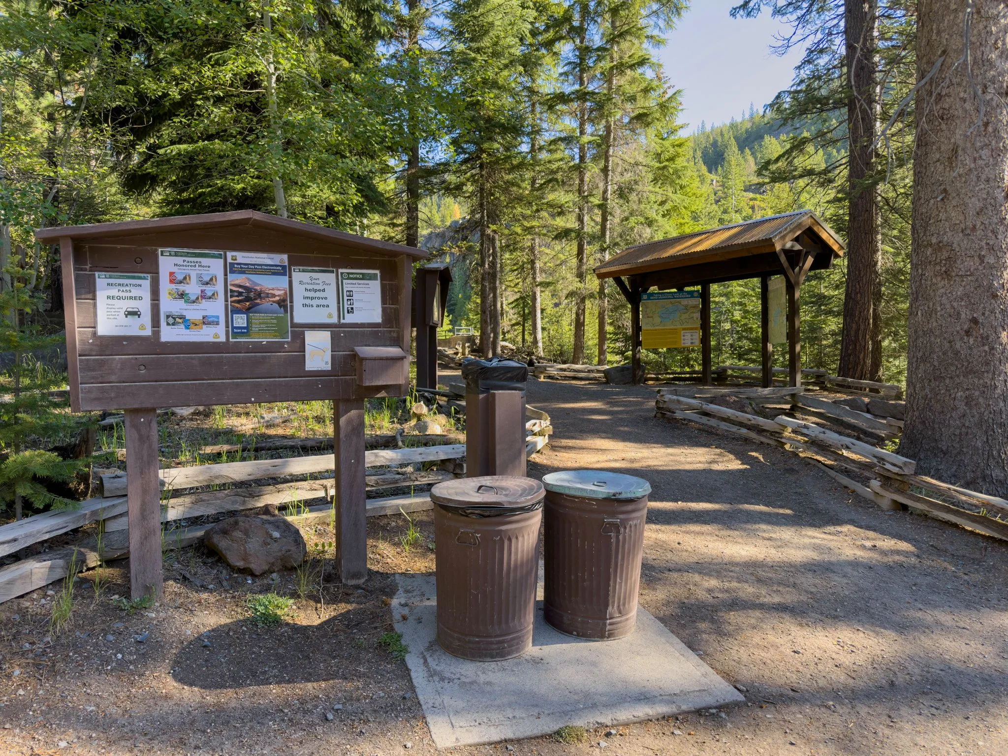
*National Forest Pass Required. Kiosk and Pay-by-Phone available at first parking lot. America the Beautiful Pass also accepted.
**Road and trail conditions can vary. Check ahead during spring snowmelt or after heavy rain. Summer weekends are extremely busy; aim for early morning arrivals. Road closed during winter.
Is the Tumalo Falls and Double Falls hike worth it? Absolutely — it's one of the best short hikes in Central Oregon. Tumalo Falls alone is stunning, but Double Falls is what makes this trail truly special. Most people don't realize it's there, and even fewer know about the upper tier. The combination of two major waterfalls, beautiful creek scenery, and an easy 2.1-mile distance makes this a near-perfect hike.
When is the best time to visit Tumalo Falls? Late spring through early fall offers the best conditions. Snowmelt in May and June means the falls are running at full force and the creek is especially vibrant. Summer weekdays are ideal since summer weekends get very crowded, and the parking lots fill up early. Arrive as early as possible if you're going on a weekend.
How difficult is the hike to Double Falls? The trail is rated Easy on AllTrails. It's 2.1 miles out and back with 324 feet of elevation gain. The first stretch to Tumalo Falls is nearly flat, and the upper viewpoints add only a quarter mile. The climb toward Double Falls has a moderate incline in the final stretch and gets rockier underfoot — sturdy footwear is recommended for the upper section.
Do I need a pass to visit Tumalo Falls? Yes, a National Forest day pass is required. If you don't already have a Northwest Forest Pass or America the Beautiful pass, you can purchase a day pass at the kiosk in the lower parking area, or pay by scanning a QR code on your phone if you have cell service. The day pass covers you for both parking areas.
Can you see Double Falls from the main Tumalo Falls viewpoint? No — Double Falls is about a mile further up the trail and completely out of view from the lower area. It's one of the main reasons so many people miss it. Even once you arrive at Double Falls, the upper tier requires continuing around the corner of the cliff. Most hikers turn around at the main viewpoint without realizing it's just a few steps away.
Getting There
Tumalo Falls is located about 11 miles west of downtown Bend, accessed via Galveston Avenue which turns into Skyliners Road as it heads into the forest. The road to the falls is unpaved for the last stretch, but it's well-maintained and passable for most vehicles. Google Maps will take you there reliably — search "Tumalo Falls Trailhead."
Cell service becomes spotty as you head up the road, so it's worth downloading the trail on AllTrails or loading your map before leaving Bend. During busy summer months, traffic on the access road can be slow — plan accordingly.
Trailhead & Parking
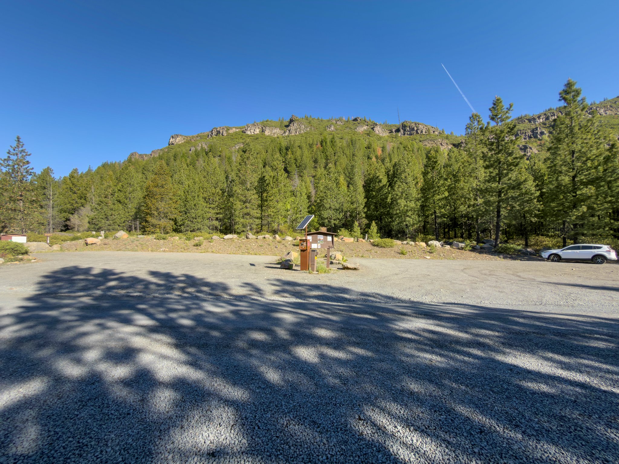
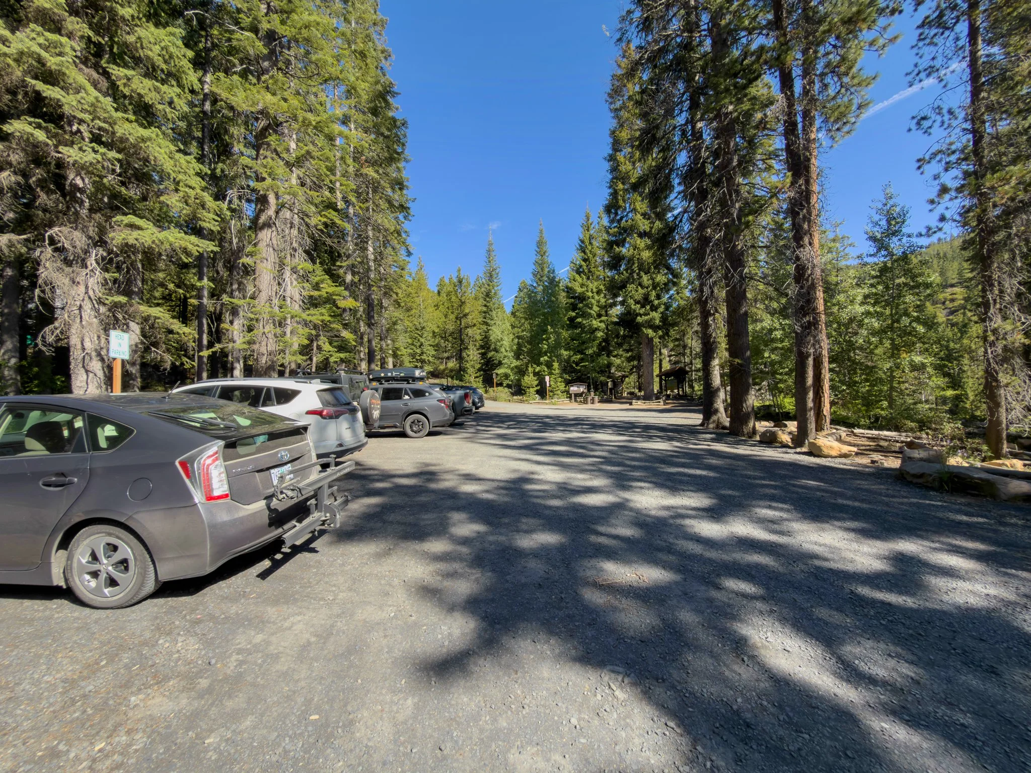
The road to the trailhead passes a large lower parking area first, which also has the day pass kiosk. If you don't have a National Forest pass, stop here to purchase a day pass or pay via QR code on your phone. Once you have your pass, continue up to the main parking lot to check for availability — it's significantly closer to the trailhead.
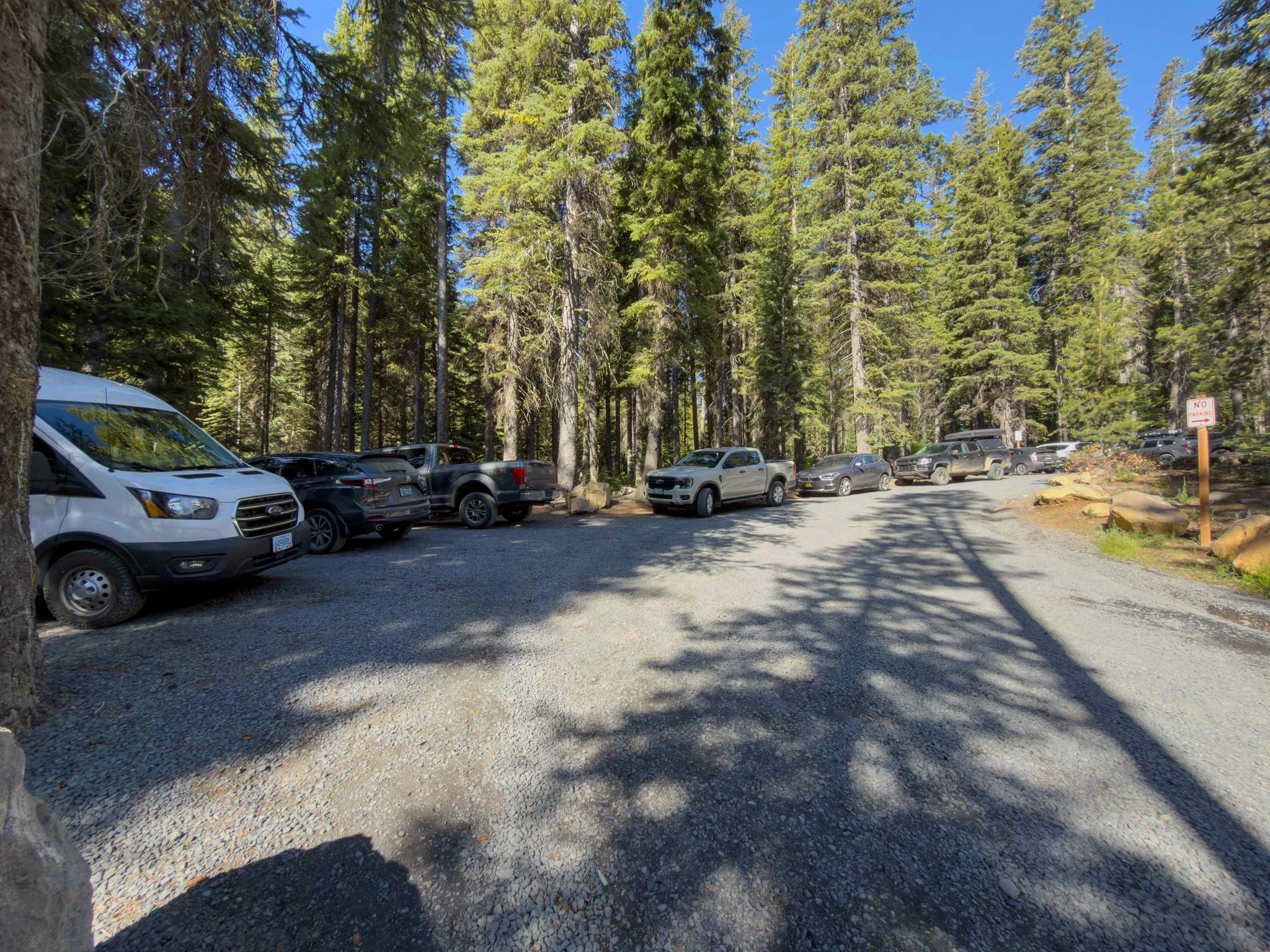
The main lot holds around fifteen cars, and on summer weekends it fills quickly. People end up parking in every available gap, and then along the road below. Getting here early makes a real difference — this is one of the most visited trailheads near Bend, and it shows. Both the main lot and the overflow area are large and well-maintained, and there's a trail from the lower area to the falls if you end up parking there.
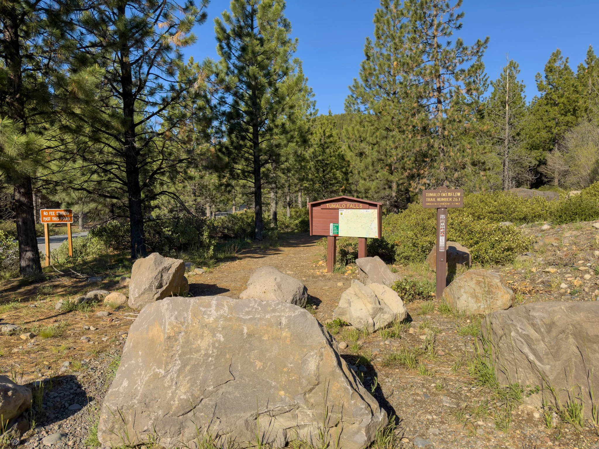
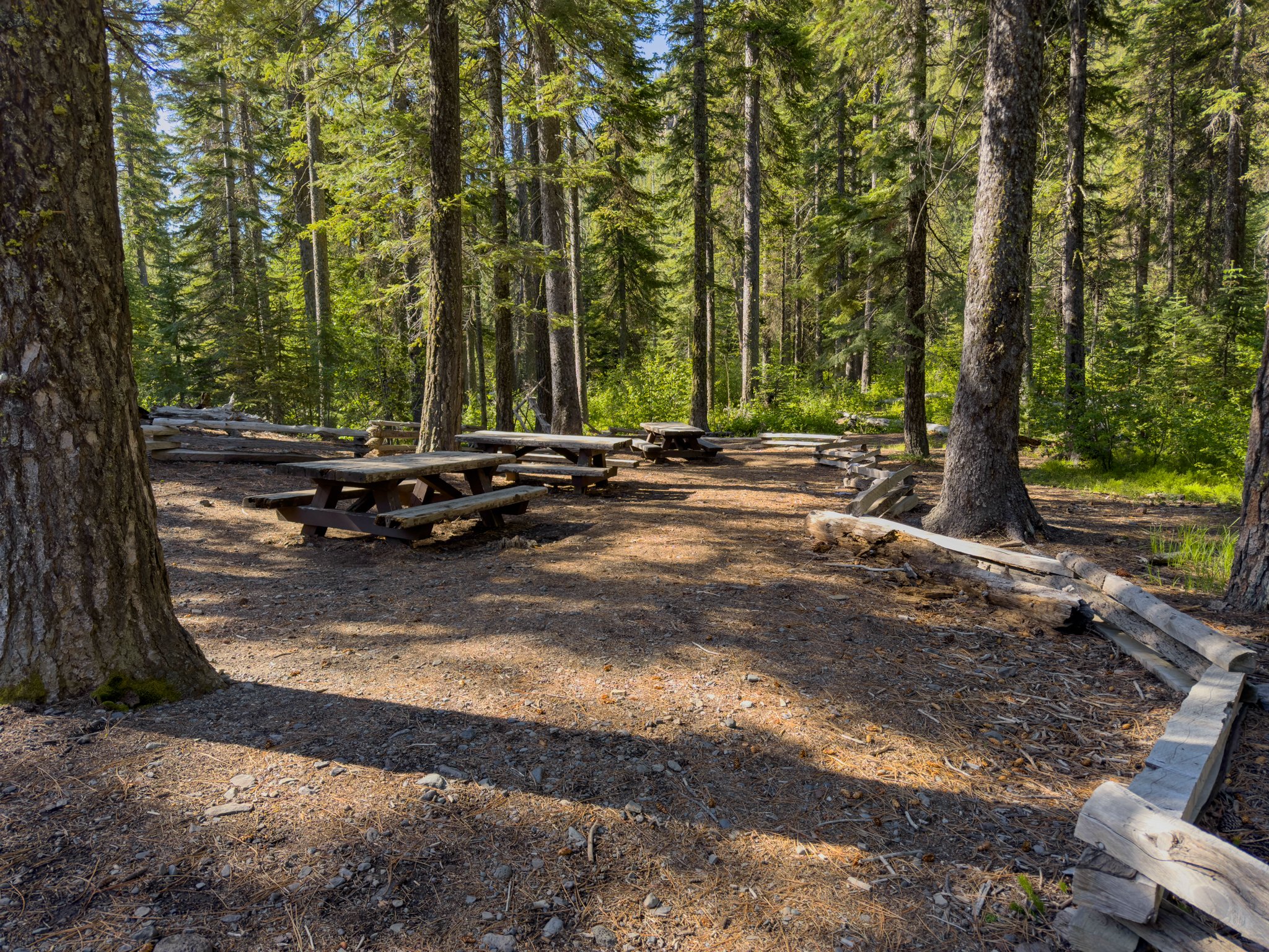
At the main trailhead you'll find two vault toilets, trash cans, and informational signage. On the opposite side of the lot, a short trail leads down to a picnic area along Tumalo Creek, as well as a separate path that follows the creek downstream. It's a genuinely lovely spot to relax before or after the hike — and worth a visit in its own right.
The Main Viewpoint
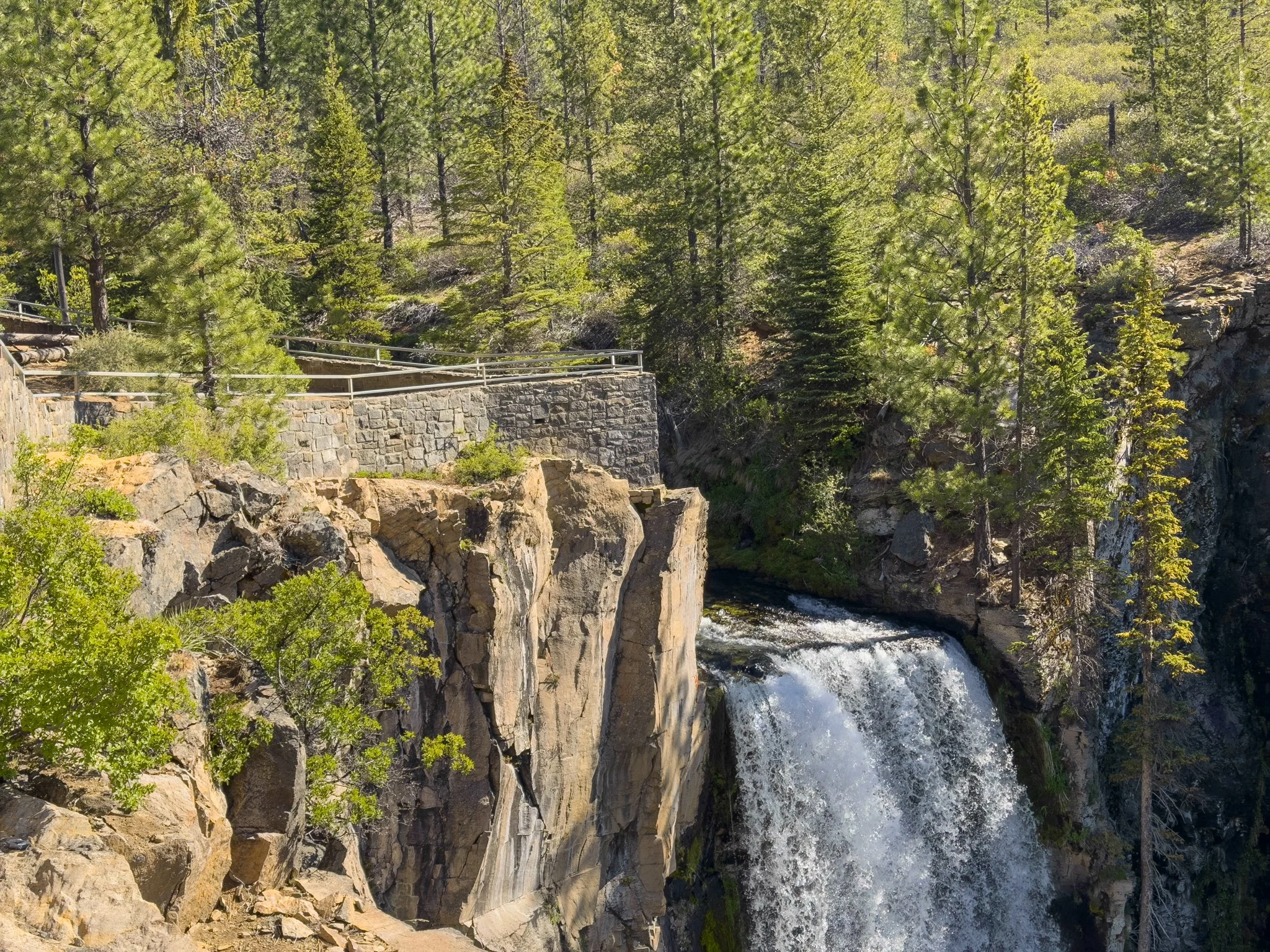
From the main parking area, Tumalo Falls is just a few steps away. A short, paved path leads to the lower viewpoint platform — fully accessible, including for wheelchairs — where you get a clear, head-on view of the falls. At roughly 90 feet, Tumalo Falls is the tallest waterfall on the creek, and from this platform you can take in the full picture: water pouring over a broad basalt cliff, dropping into the canyon below, the sheer rock walls rising on both sides, and the distinctive high-desert forest of the Eastern Cascades framing everything above. You can also see the upper viewpoints from here, which we'll head to next.
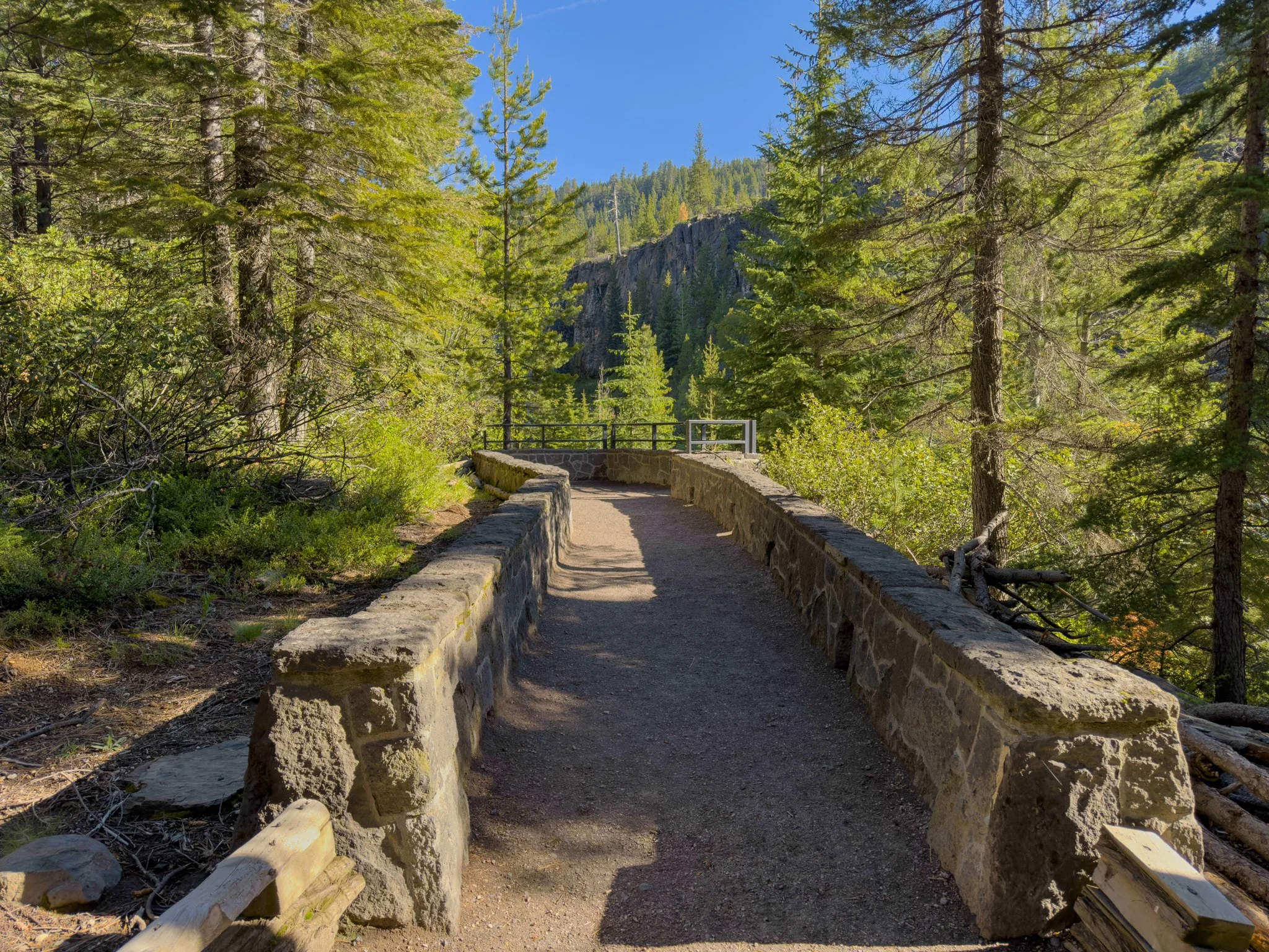
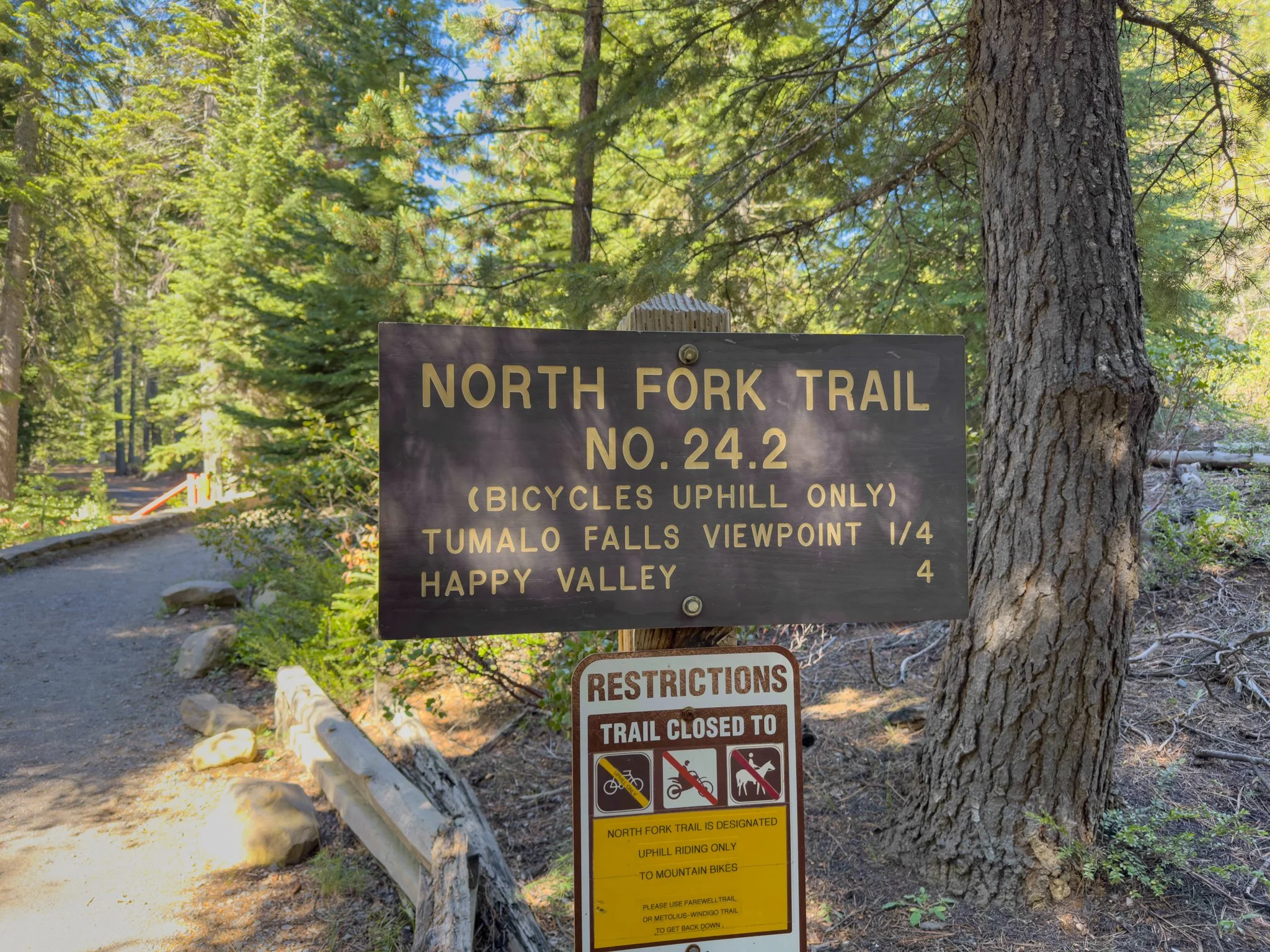
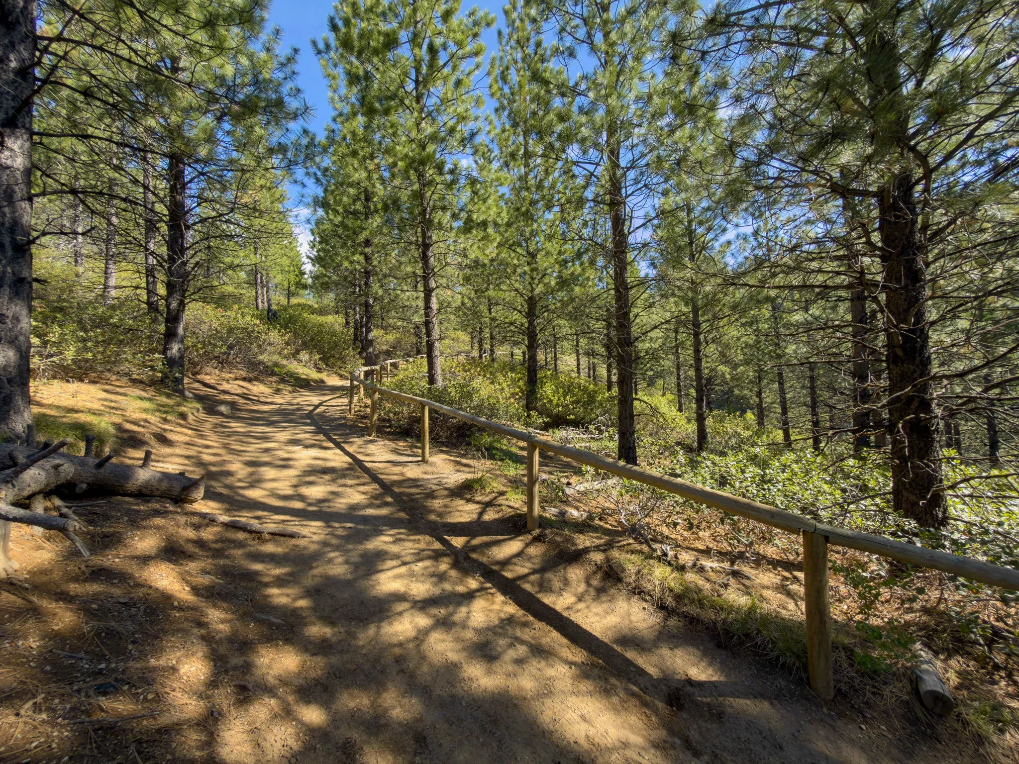
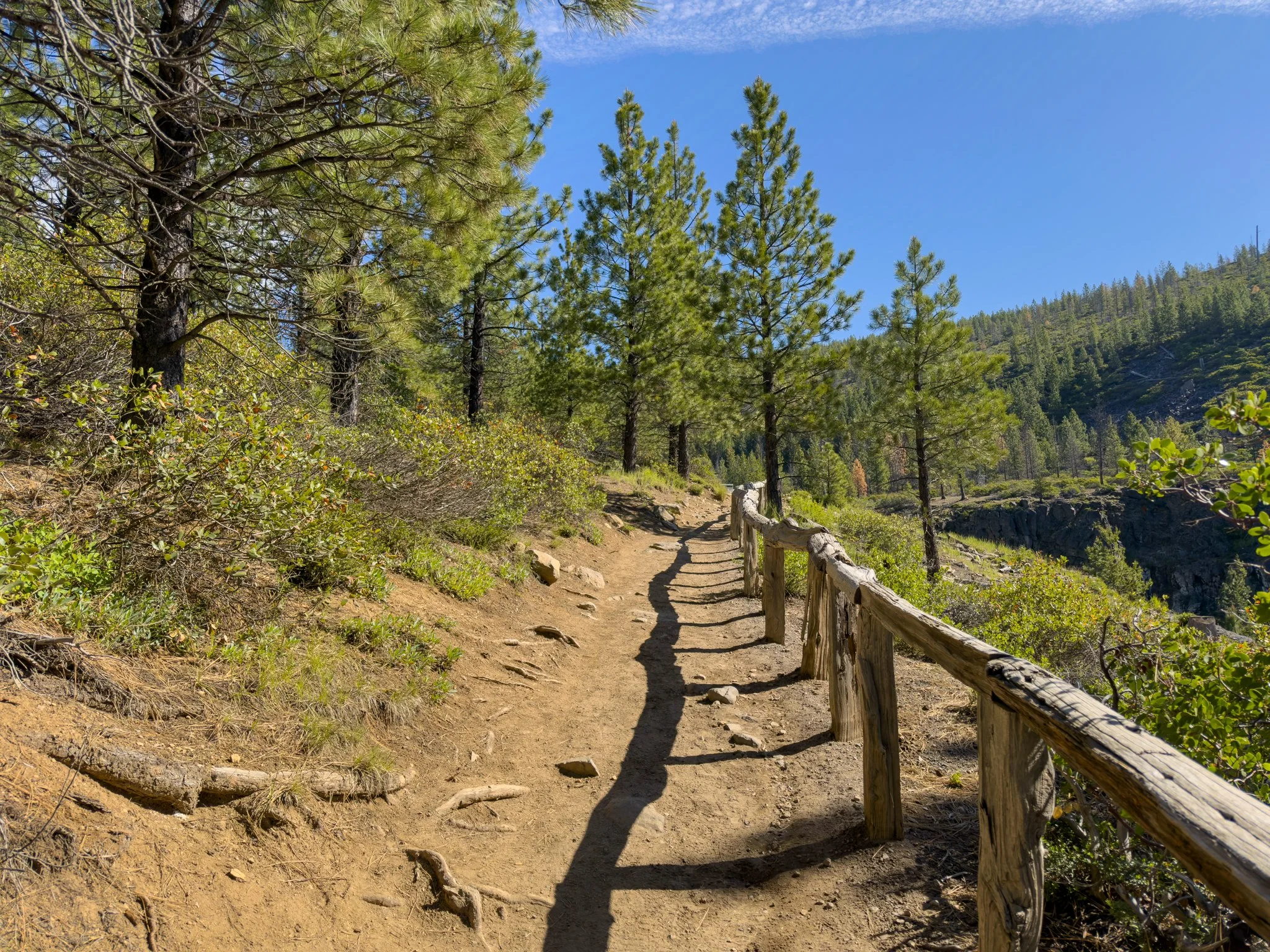
Head back toward the parking lot and take the right fork at the informational sign — the trail is marked for the North Fork Trail No. 24.2 toward the upper Tumalo Falls viewpoint, just a quarter mile ahead. The climb is steady but easy, winding through a couple of switchbacks before leveling off at the top.
The Upper Viewpoints
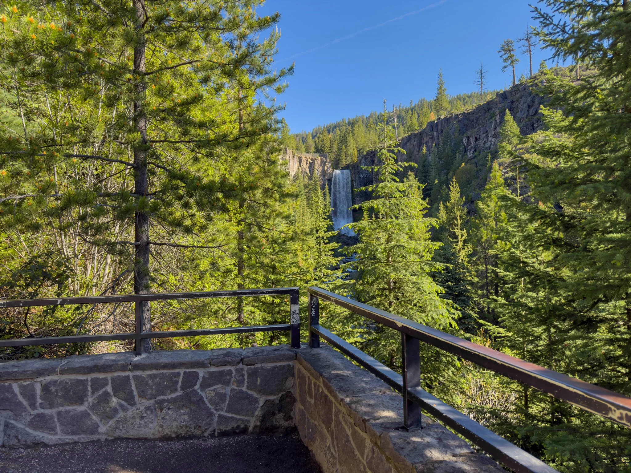
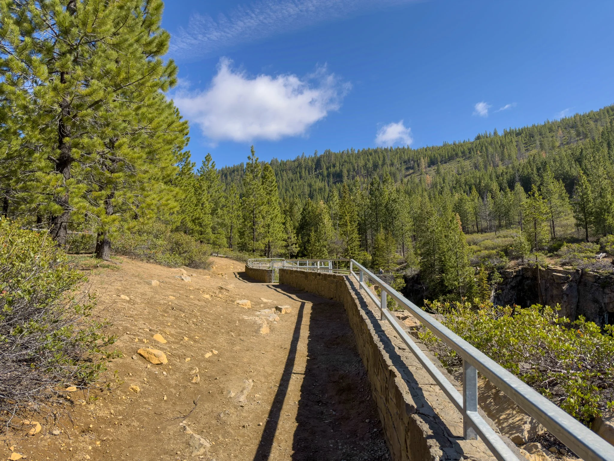
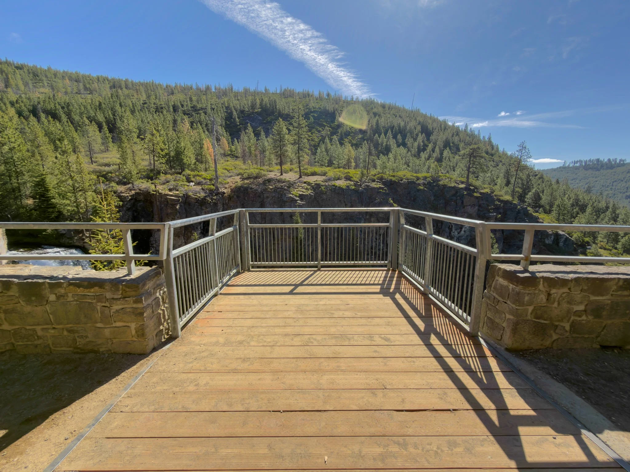
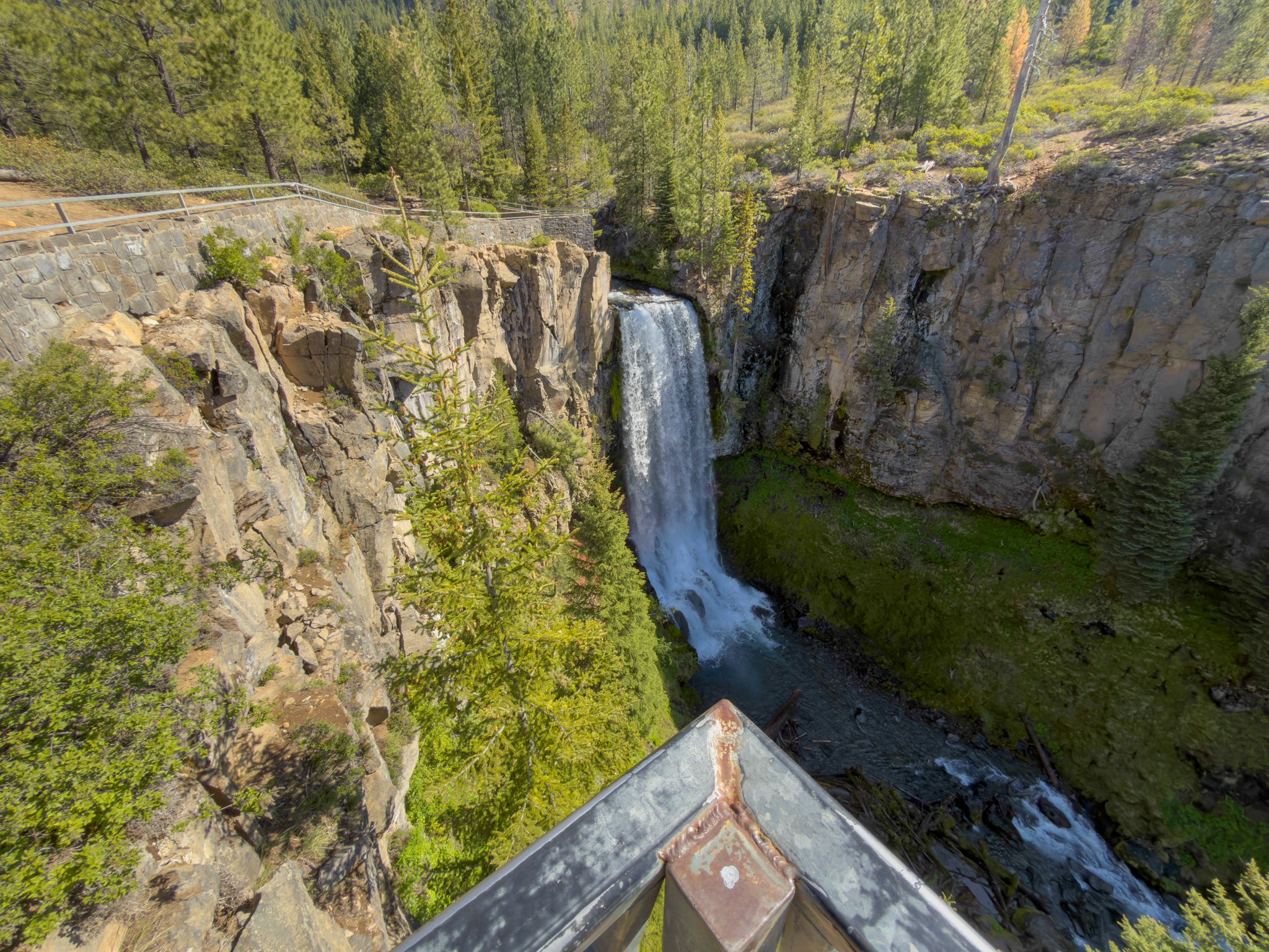
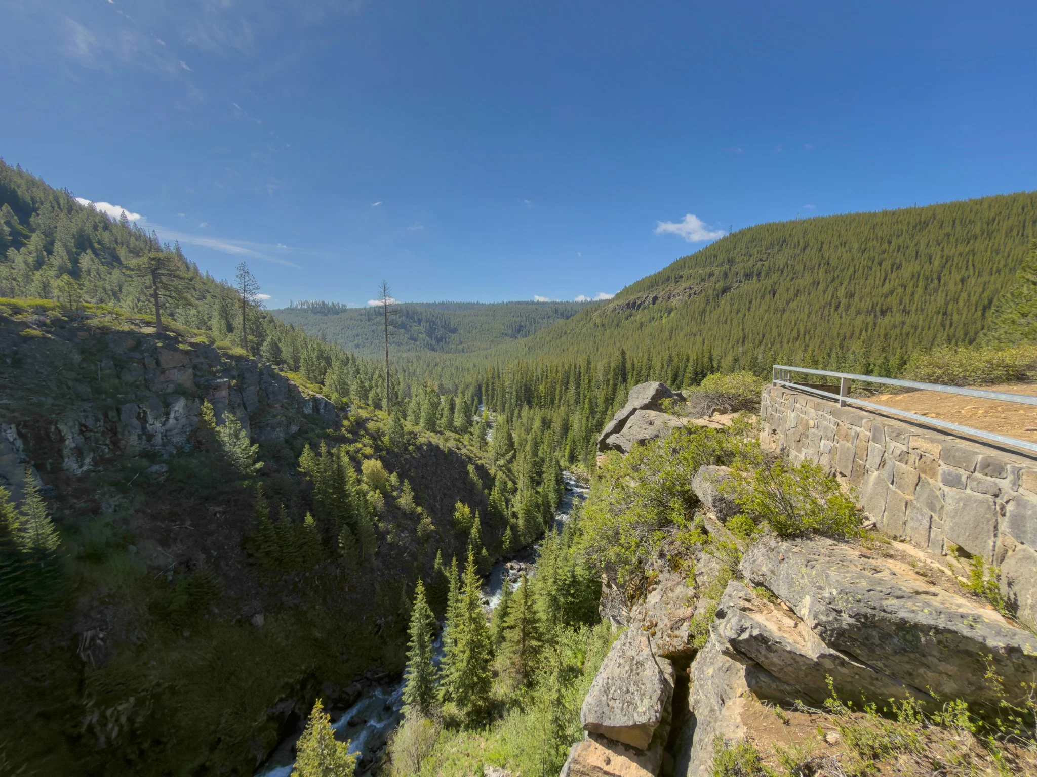
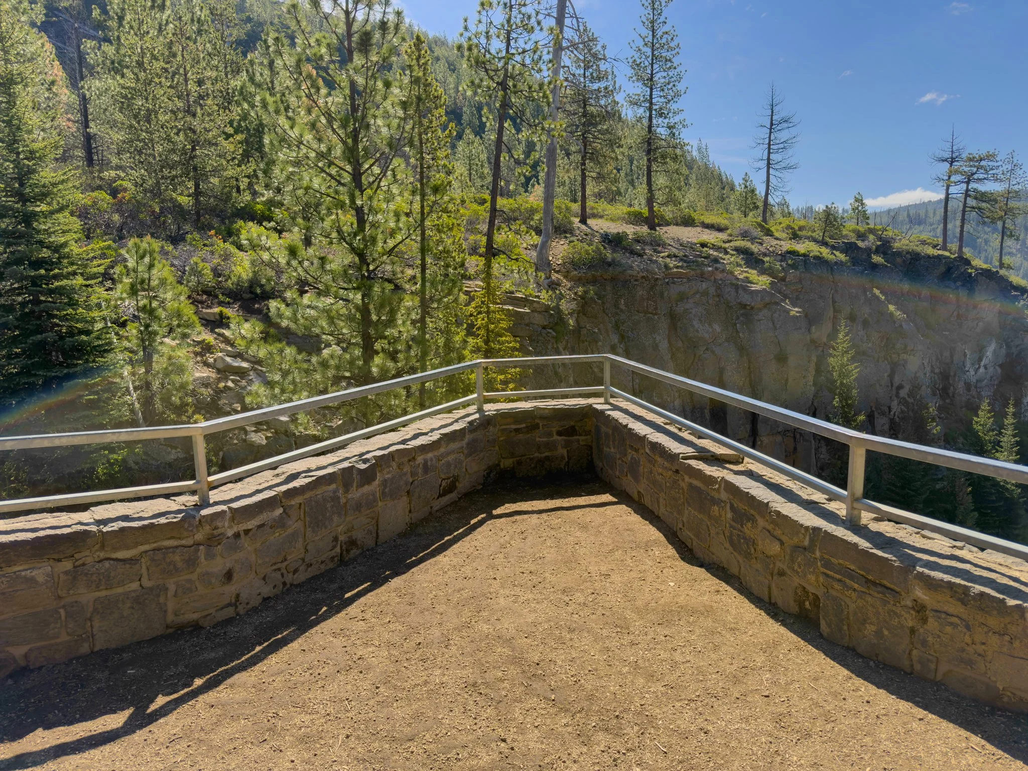
The first upper viewpoint is one of the most dramatic spots on the entire trail — a metal observation deck that extends right out over the canyon edge. If you're not comfortable with heights, you might want to stop short. But if you step out onto it, the reward is extraordinary: looking left, you watch the falls cascade into the gorge below; sweeping right, you follow Tumalo Creek all the way down past the parking lot and bridge, and out into the open valley toward Central Oregon. It's a genuinely stunning 180-degree panorama that far exceeds what the quarter-mile climb would lead you to expect.
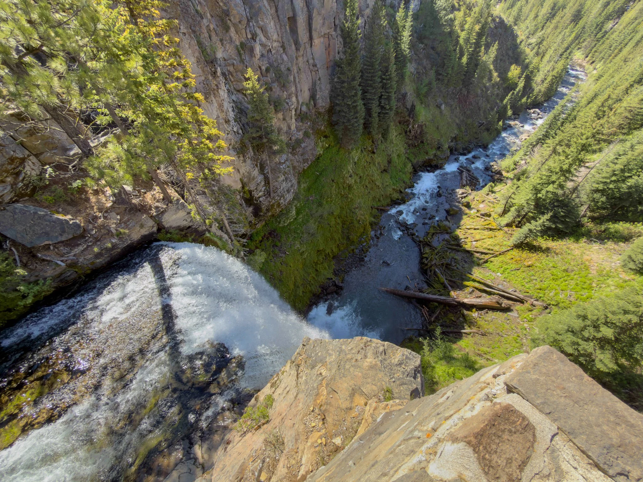
Just a short distance further sits another viewpoint — this one right at the lip of the falls, looking directly down the cascade from above. It's a completely different perspective from the deck below, and one of those views that takes a moment to fully register. Watching the water disappear over the edge from this vantage point is quietly extraordinary.
Along Tumalo Creek
From the upper viewpoints, follow the stone wall and railing a short way to a viewpoint of the creek and a small cascade below — a great spot to see how remarkably clear the water is — then continue left along the fence to the main trail heading toward Double Falls.
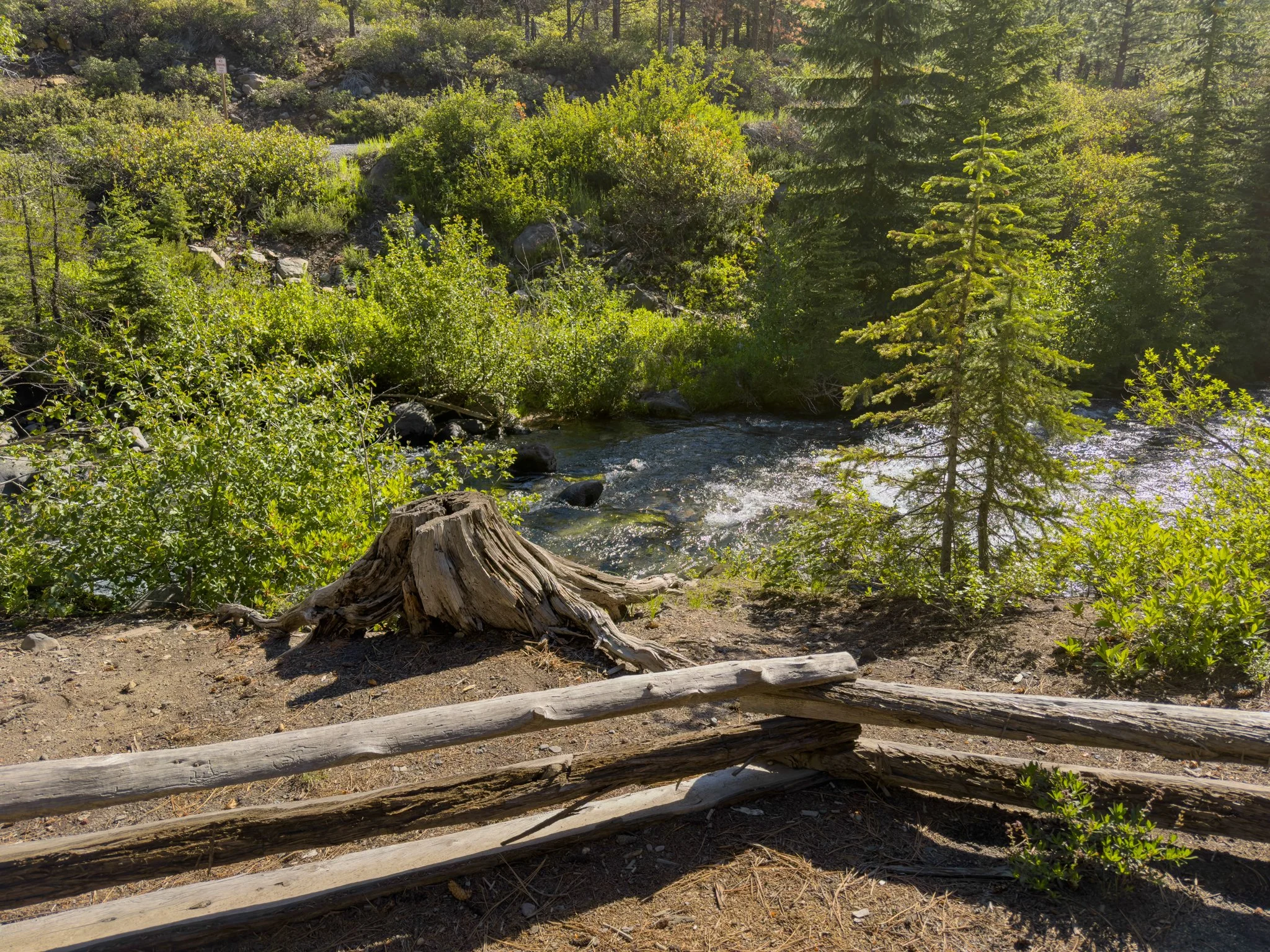
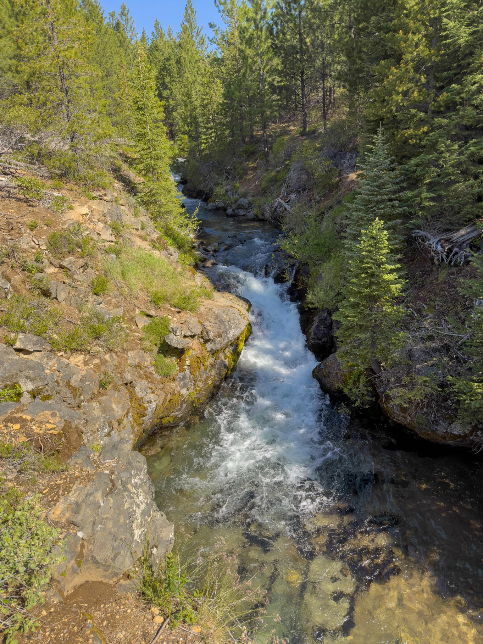
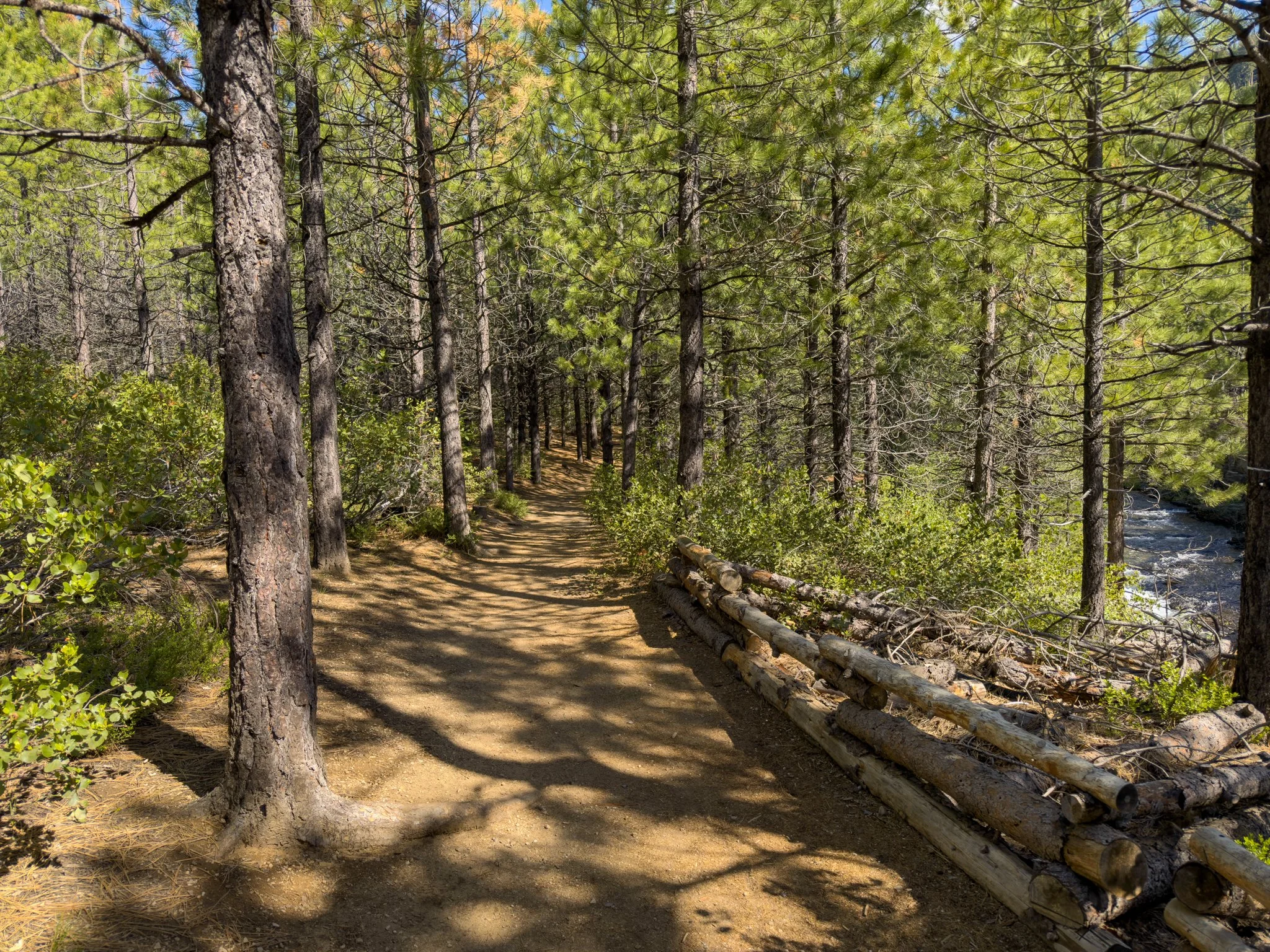
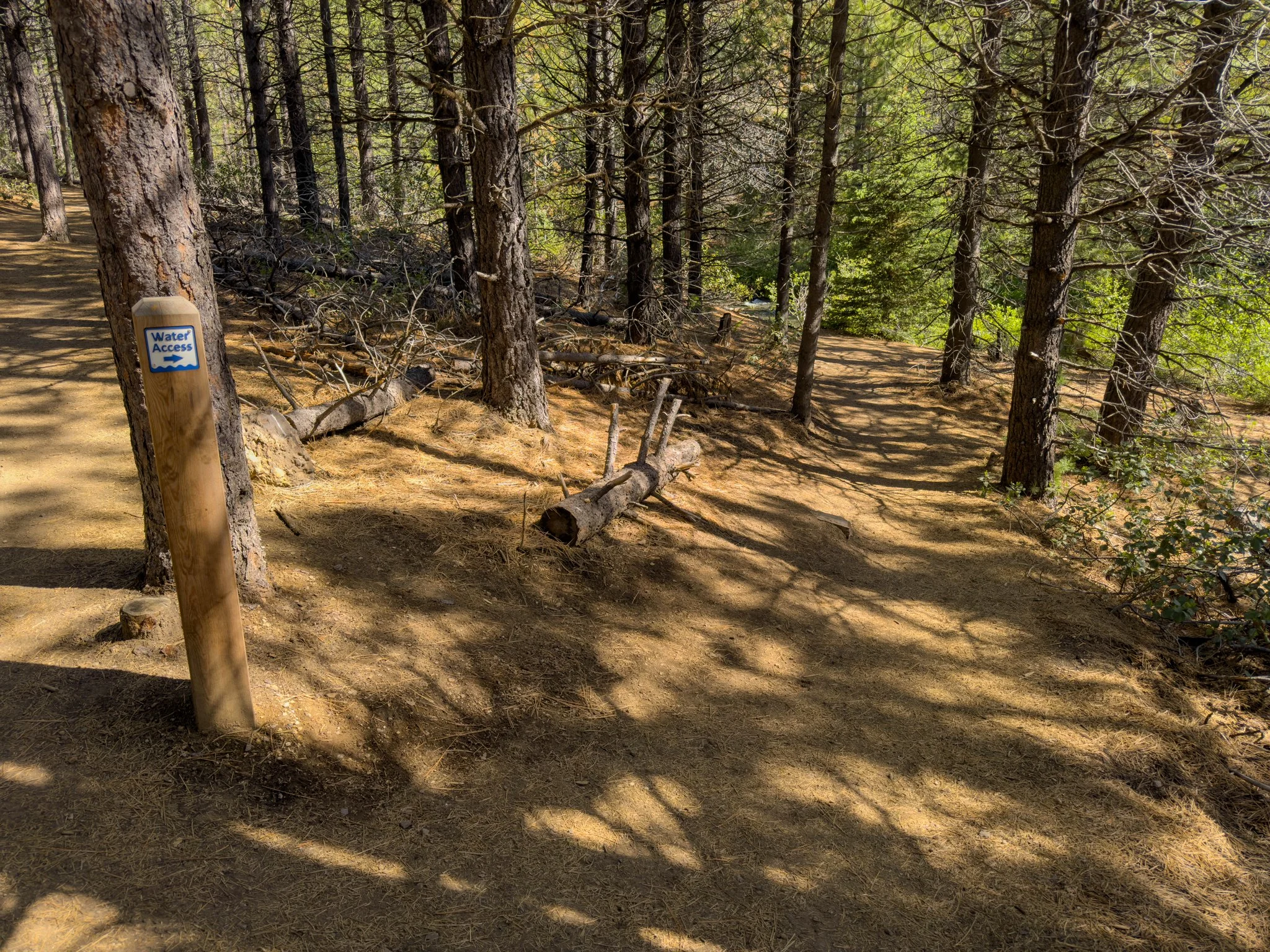
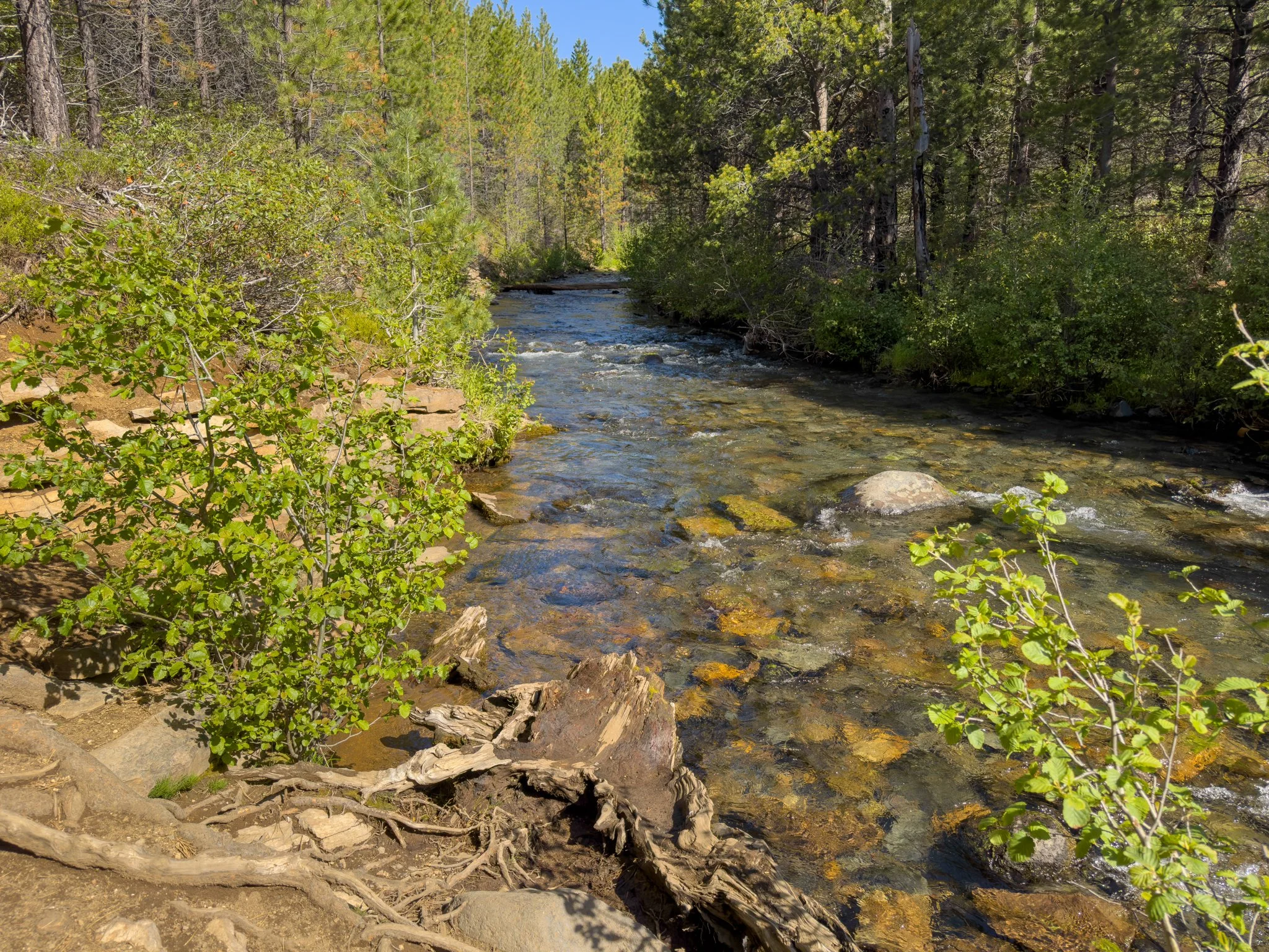
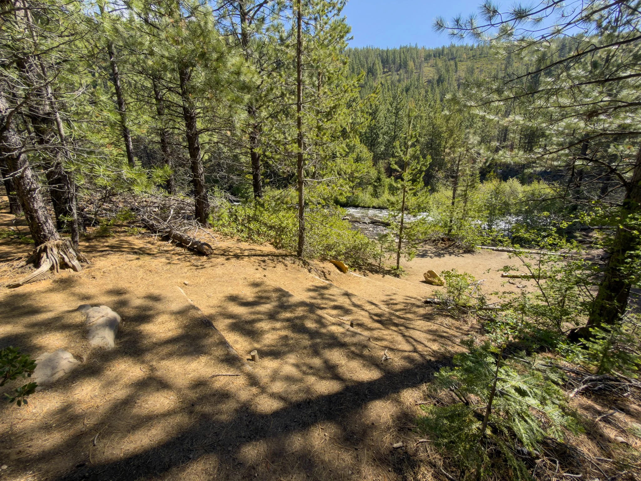
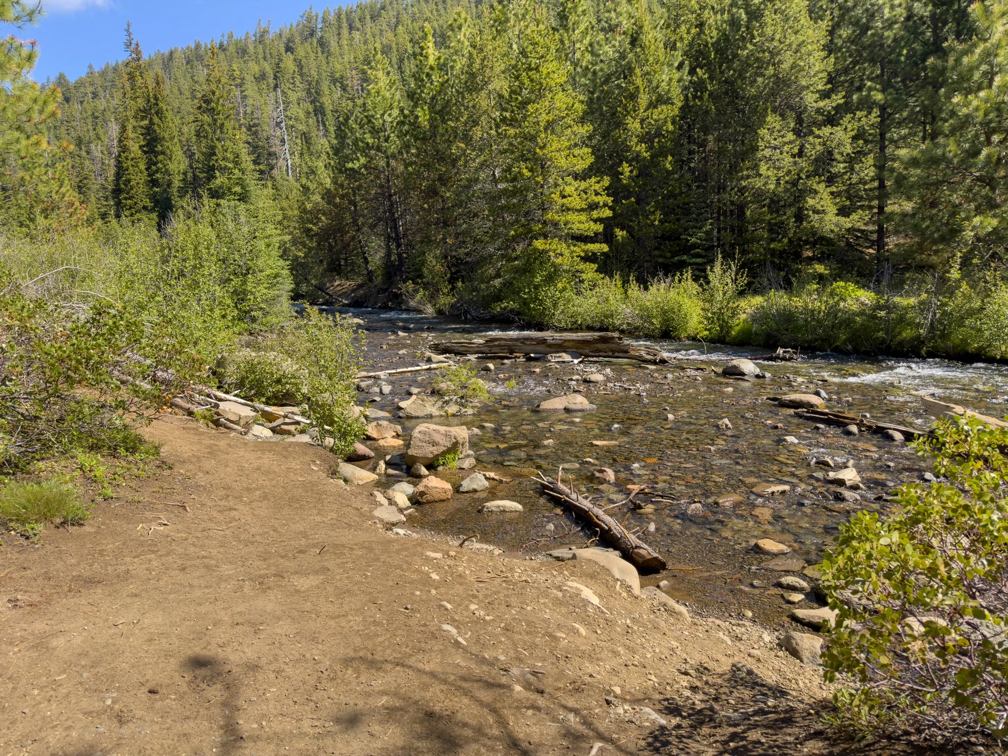
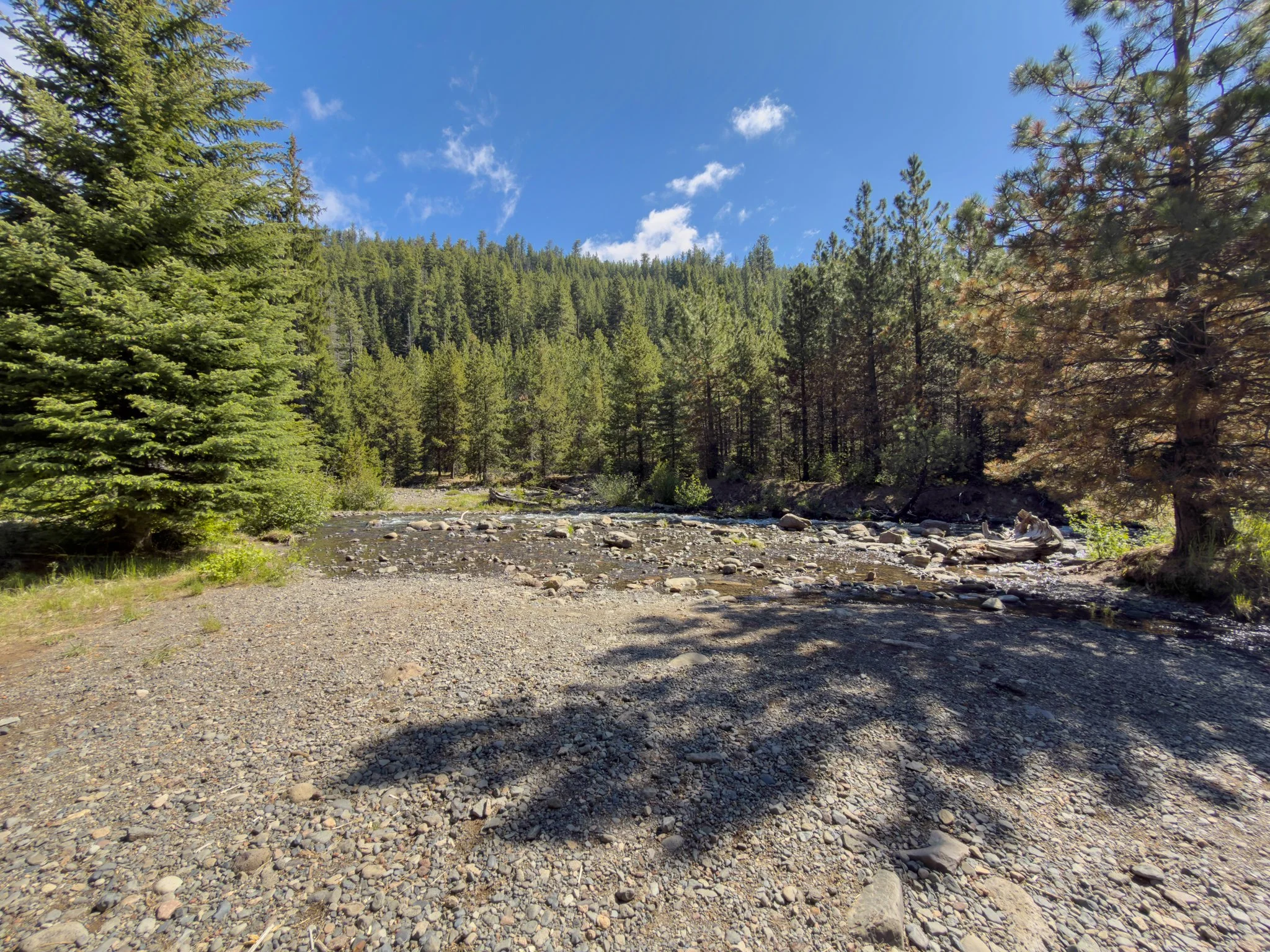
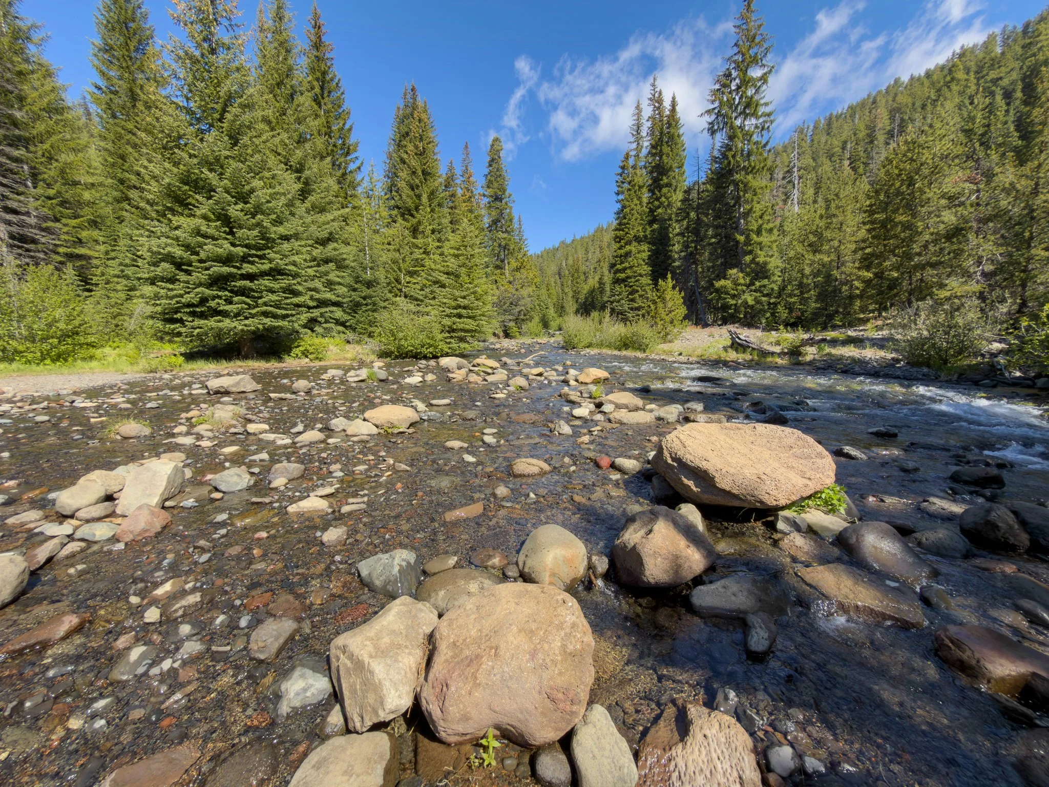
Almost immediately you'll encounter the first of many creek access points, marked by a small post reading "Water access." These appear regularly along the next stretch of trail, each one offering its own little beach, rock shelf, or poolside perch along Tumalo Creek. The creek is the backbone of this whole hike — clear, cold, and beautiful — and each stop is worth taking.
The first access has natural rock seats right along the bank, almost sculpted by the water over time. The next offers a smooth rock slant angled down into the creek — perfect for sitting with your feet in the water, or letting a dog wade in. A fallen log here provides a potential crossing to the far bank, depending on the water level.
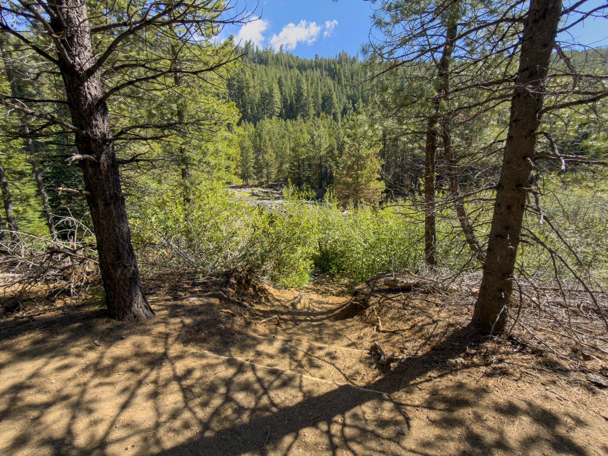
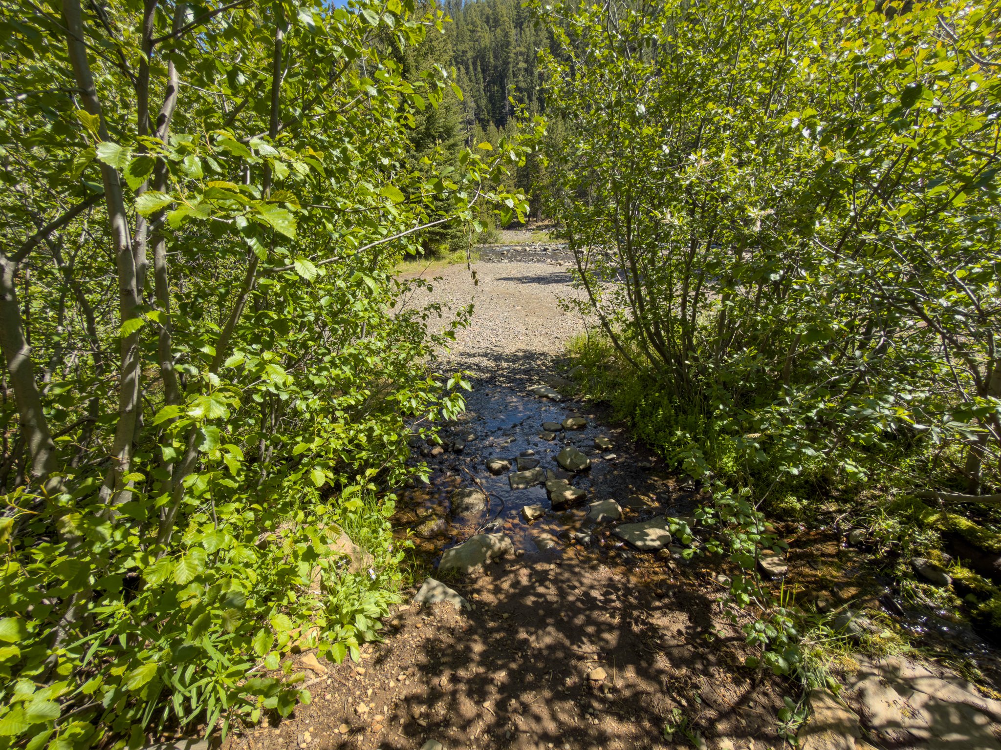
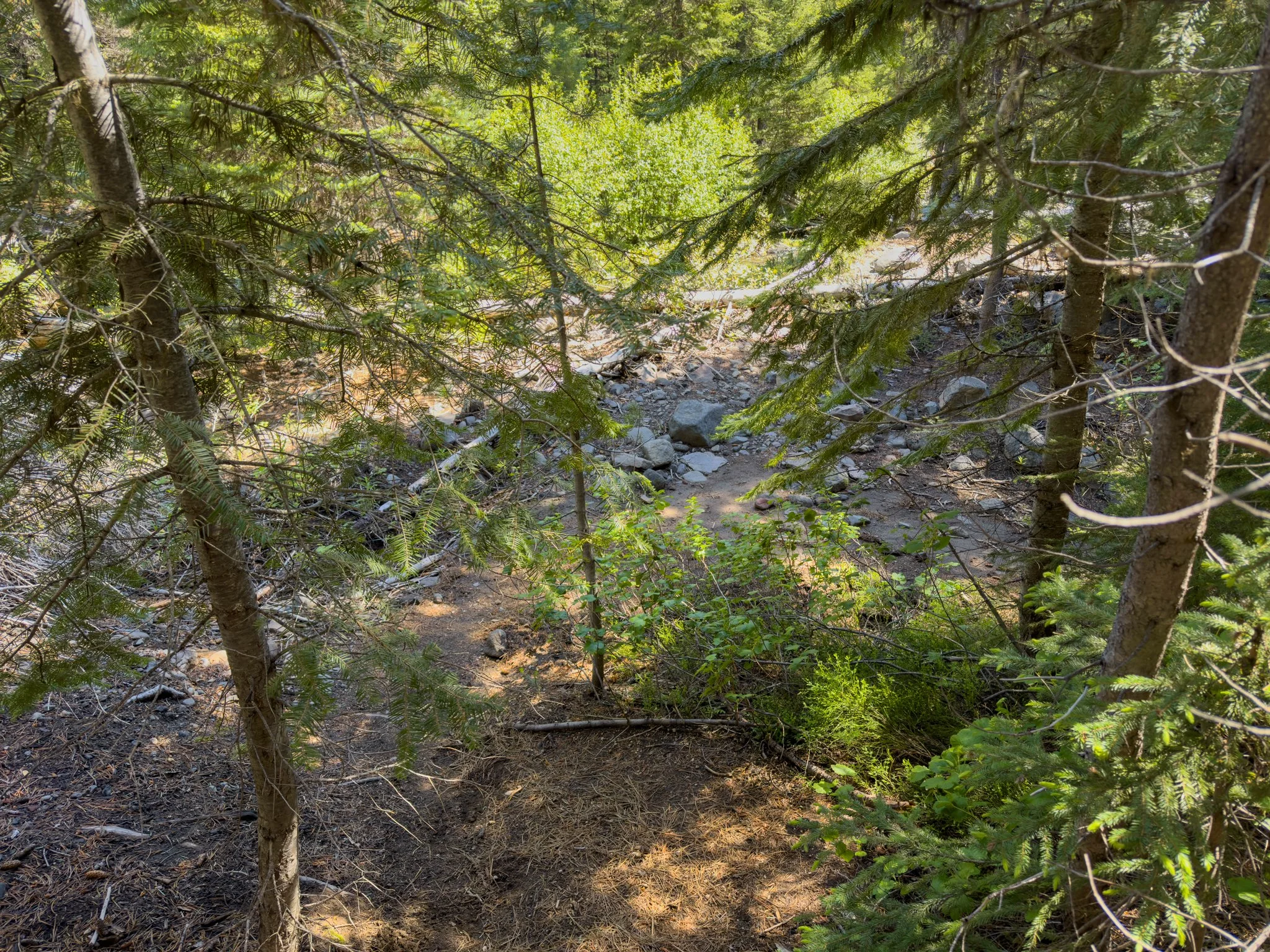
Further along, a larger access area appears with actual steps leading down to the water, with a wide, open stretch of shoreline where you can walk out onto exposed rocks and take in long views up and down the canyon. This is one of the best creek stops on the trail — spacious, flat, and genuinely relaxing. Right around the corner is another access with a narrower path winding through vegetation to yet another open area along the bank. Each one has its own distinct character.
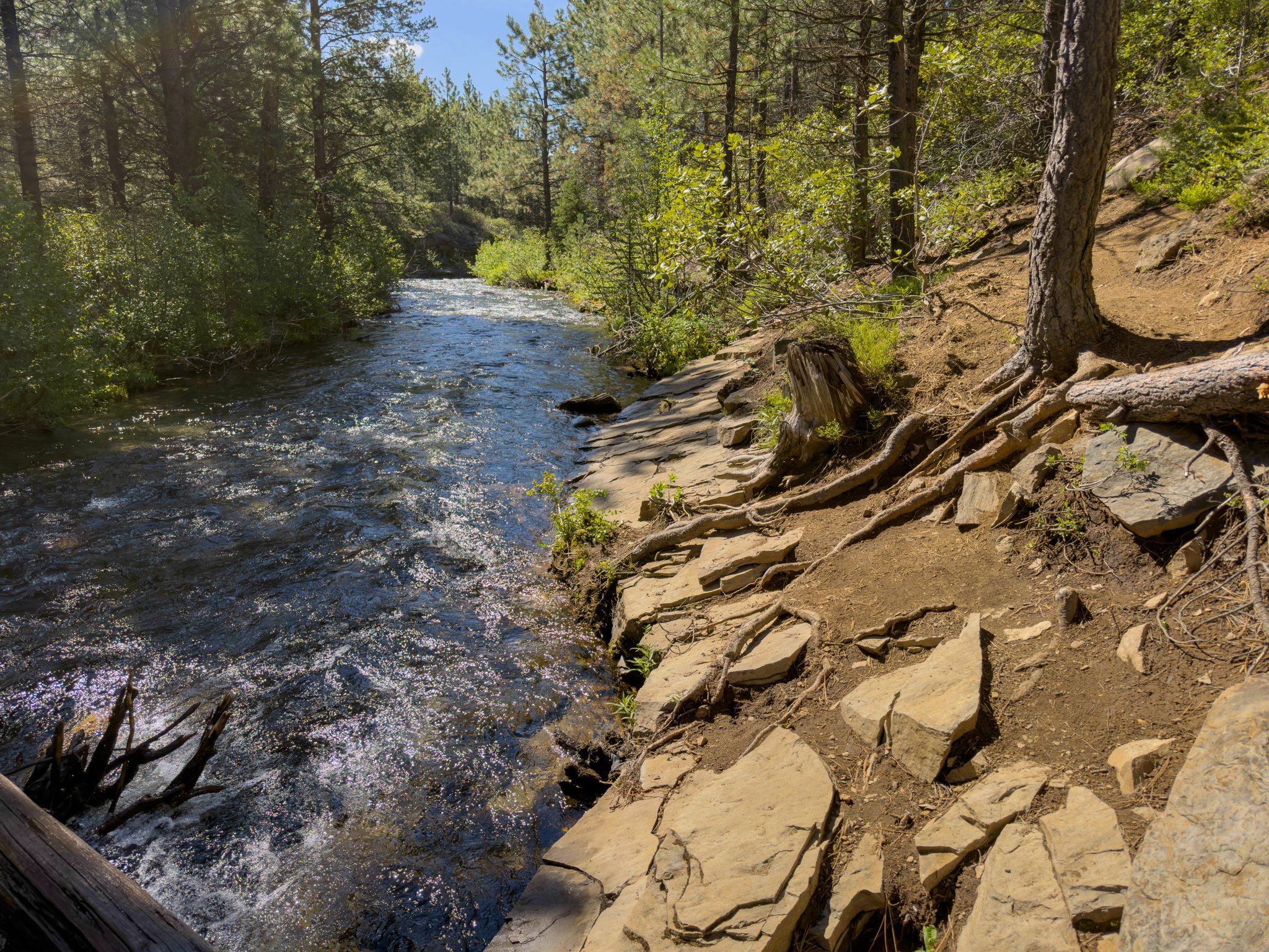
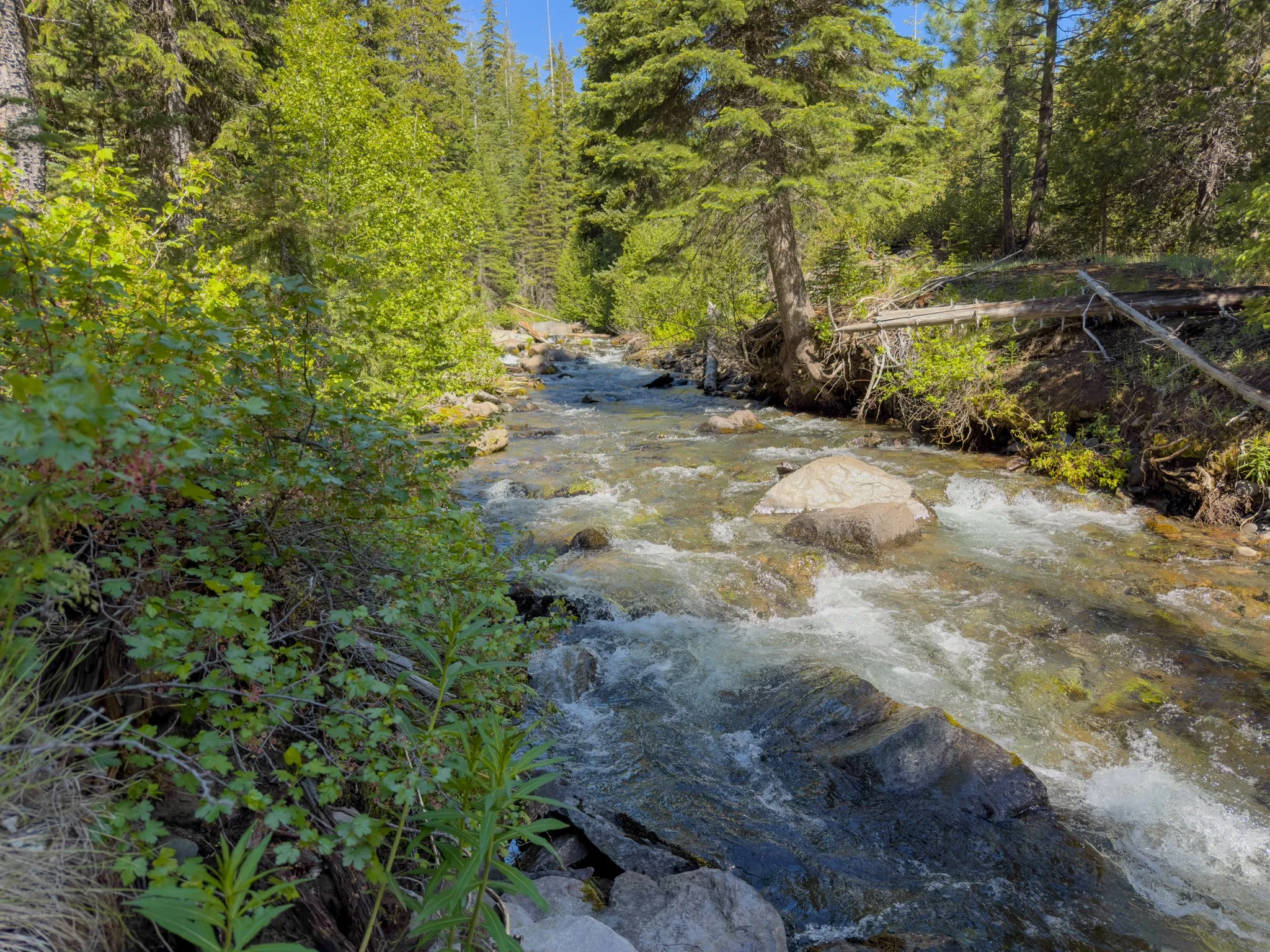
One more unsigned spur trail to the right appears before the trail begins its final climb. This section of the creek is noticeably more active — the gradient has increased and the water runs with more energy, tumbling through a rougher channel. It's a striking contrast from the glassy pools lower down, and a nice final glimpse of the creek before the trail pulls away from it for good.
The Climb to Double Falls
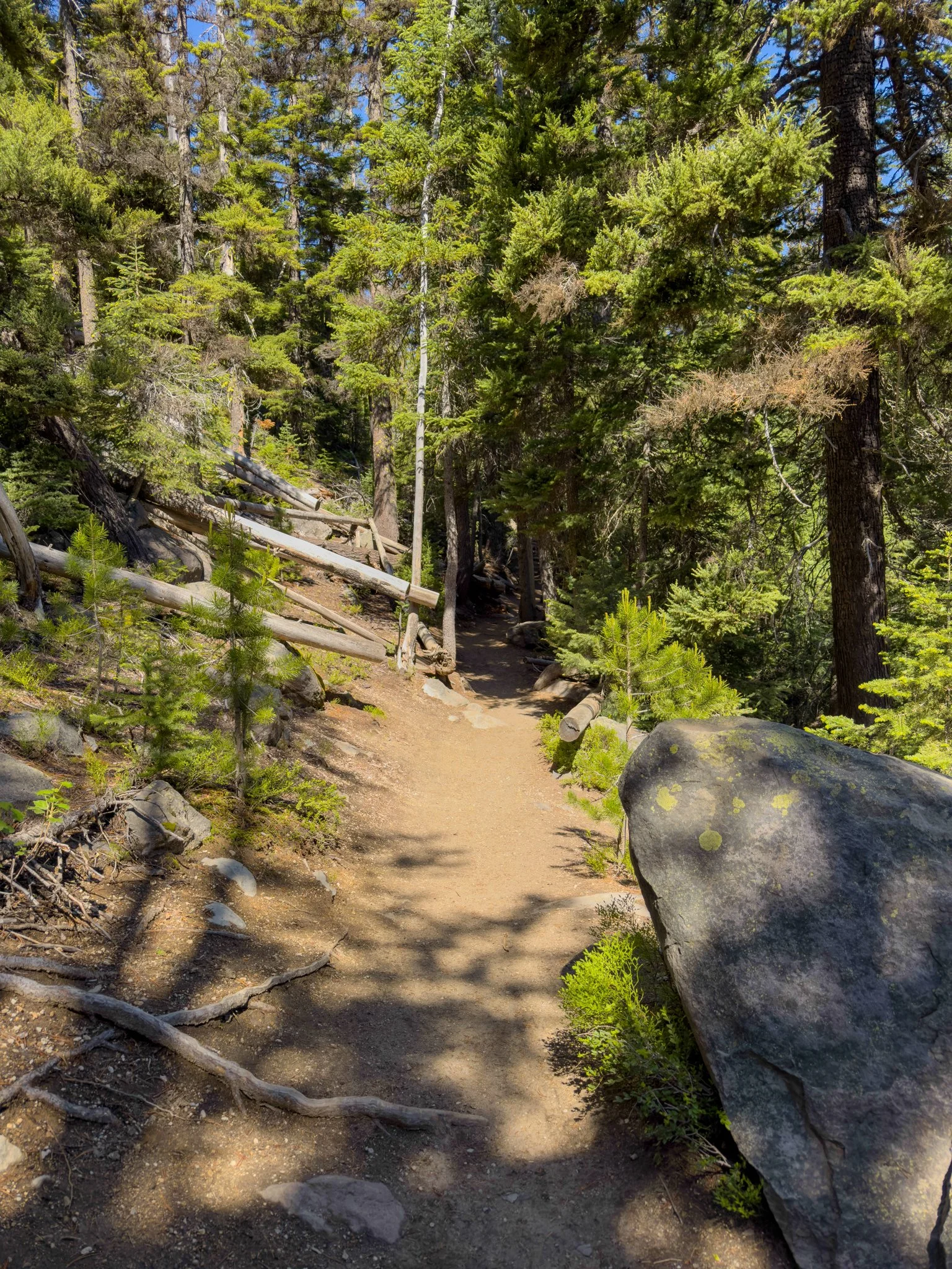
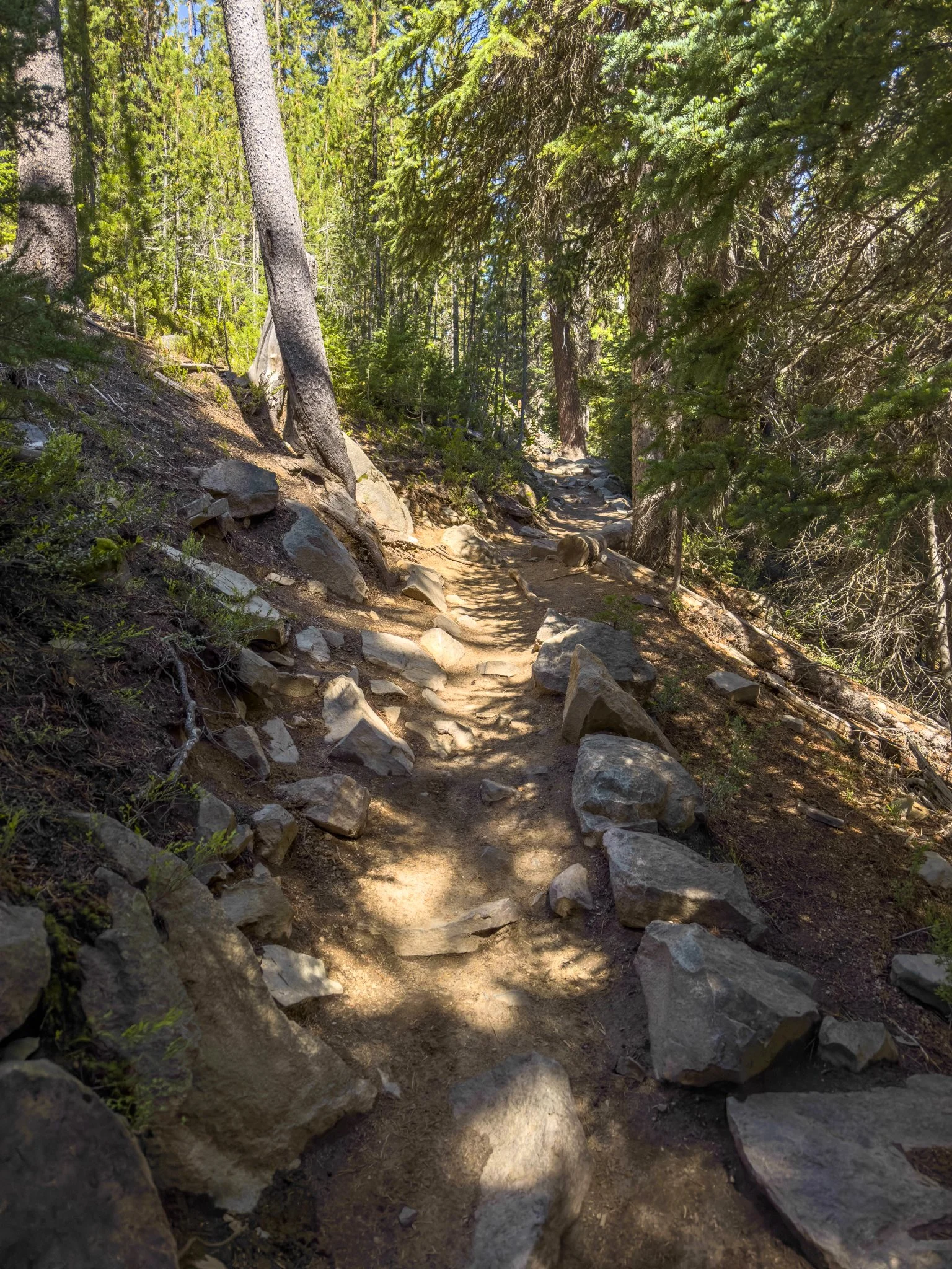
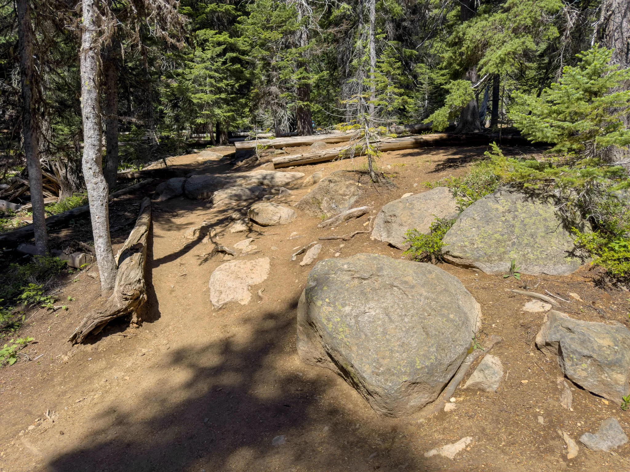
From this point the trail steepens noticeably — not dramatically, but more than anything before it. The terrain becomes rockier, passing by fallen boulders, and the surface gets more rugged underfoot. Good hiking shoes matter more here. The forest closes in around you, and while the creek disappears from view and access, the atmosphere up in the trees is its own kind of beautiful — quieter, wilder, and with a real sense of the canyon deepening around you.
As you approach Double Falls, sheer cliffs begin appearing on your right-hand side. This is the time to make sure dogs are on a short leash and children are held close — there are no railings or fencing here.
Double Falls
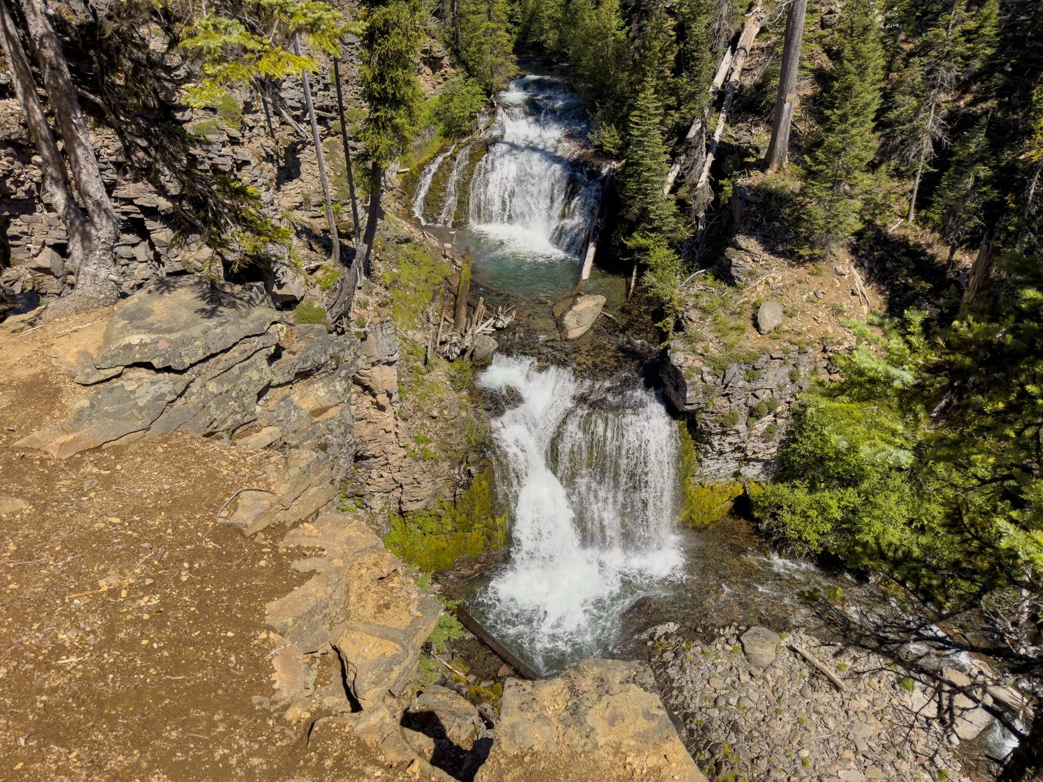
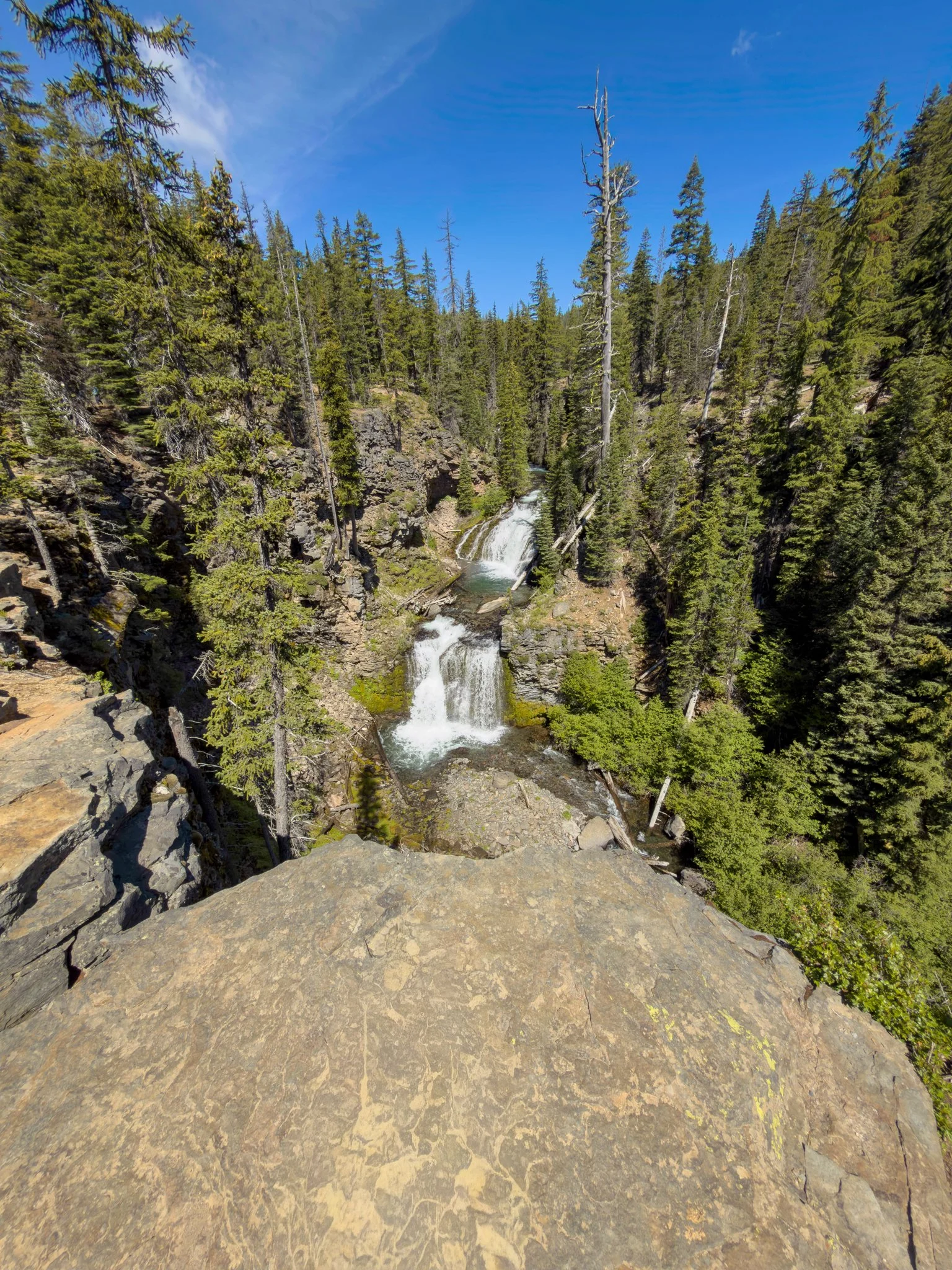
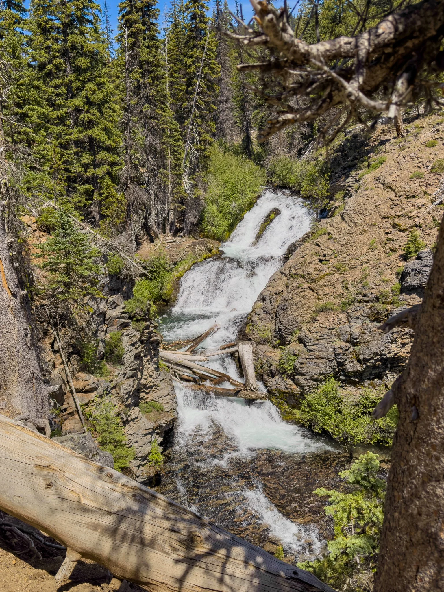
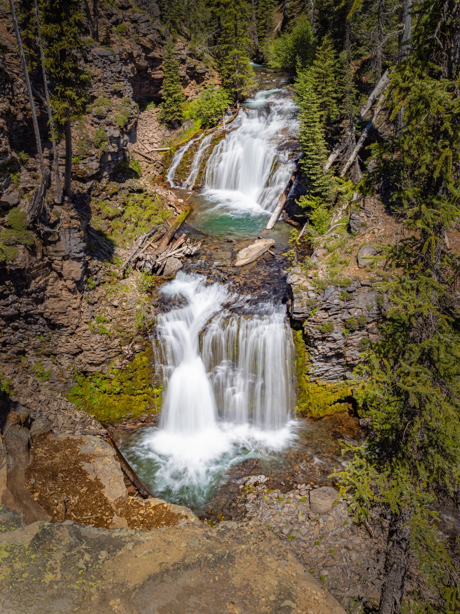
The trail opens onto a wide, flat viewing area at the top of a 125-foot cliff — and there it is. Double Falls. The main viewpoint presents the lower two tiers of the falls: the first drop of 23 feet fans out in a graceful veil before giving way to a final plunge of 29 feet into the creek below. The water carries that characteristic Tumalo Creek clarity — sometimes almost bluish in the right light — and the whole scene, set against the sheer cliff face and framed by the canyon walls, is genuinely spectacular.
Most people who make it up here are surprised by just how impressive it is. It doesn't get the attention Tumalo Falls does, but it absolutely deserves it. To the right of the main viewpoint, a large rock formation juts out from the cliff, split dramatically down the middle. Stepping out onto it — at your own risk — puts you in an exhilarating position perched above the canyon with unobstructed views of the falls and the valley below. Whether you go there is entirely your call.
The Upper Tier - Don't Miss This One
Here's where most visitors turn around — and what most of them miss. Even among hikers who've made it all the way to Double Falls, the vast majority head back without realizing there's another waterfall just around the corner.
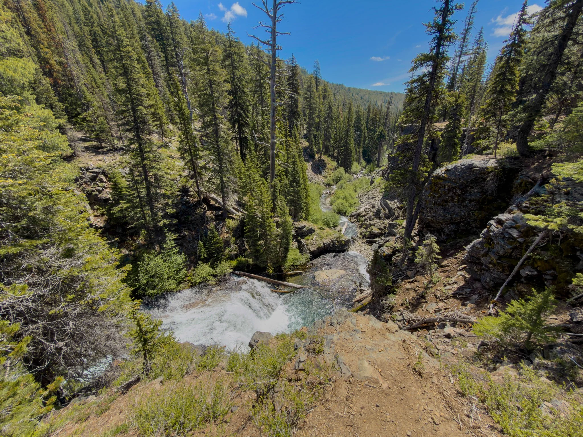
Head along the left side of the cliff and the trail continues. On the way you'll pass a viewpoint looking down at Double Falls from above the middle section — a completely different and equally striking angle. Just a short distance beyond, the upper tier comes into view: a 37-foot cascade flowing down the cliff in a graceful, bumpy two-step pattern through jagged rocks, with fallen logs adding texture to the backdrop. The only real viewpoint here is from above, on the cliff edge, which gives the whole scene a dramatic, elevated quality.
Most people would consider this a separate waterfall, and it honestly feels like one — but it's technically the upper tier of Double Falls, making what you saw at the main viewpoint the lower section. The naming doesn't quite capture what this place actually is: a three, maybe four-tier waterfall system that rivals anything in this part of Oregon.
The trail does continue further, with additional waterfalls above — but the distances multiply quickly with each one. This point marks the best balance of effort and reward on the trail, and a natural stopping point for most hikers.
Final Thoughts
The Tumalo Falls and Double Falls trail is, without question, one of the finest waterfall hikes in Central Oregon. In 2.1 miles you experience two iconic viewpoints at Tumalo Falls, a long and beautiful stretch of creek walking, and then Double Falls in all its multi-tiered glory — including an upper tier that most people walk right past. I come out here about once a year and it never gets old. I've brought family and friends who'd lived near Bend for years without visiting, and it always wins them over.
If you're looking for one trail near Bend that delivers a truly exceptional experience for the distance and effort, this is it.
Happy exploring 🌿